Top 5 Treks in Austria: Expert Picks
Explore Austria’s top trekking routes, from iconic high Alpine circuits to remote wilderness hikes, with expert insights on difficulty, seasons, and highlights.

Uroš
Published January 5, 2026
Edited March 16, 2026
8 min read
Quick links
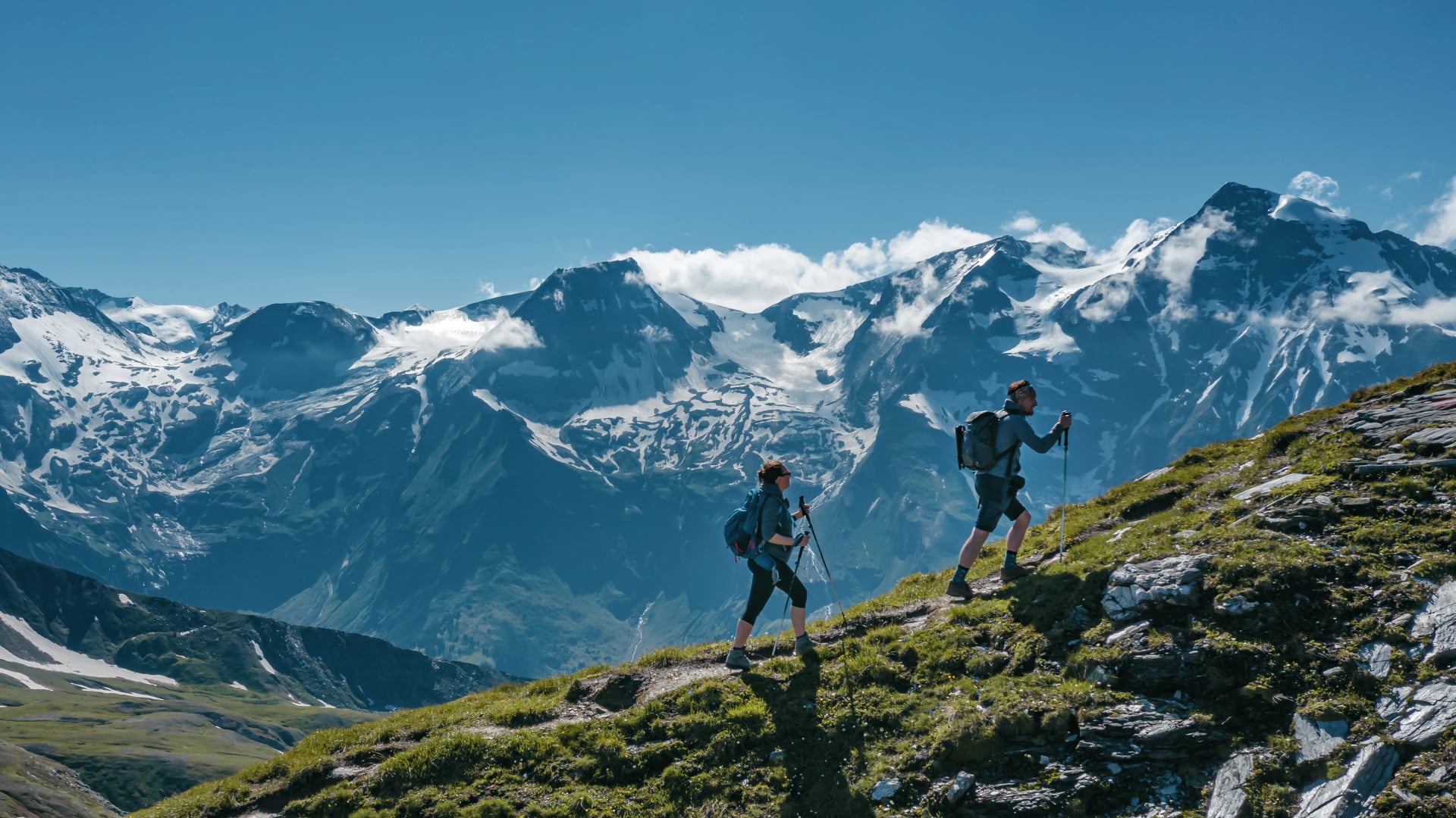
Austria's Alps offer hundreds of hiking routes, but some stand distinctly above the rest. The best treks in Austria combine dramatic scenery, authentic mountain hut culture, accessible logistics, and that perfect balance of challenge and reward that transforms a hike into an unforgettable adventure.
This guide presents our five favorite multi-day treks—routes we've guided, refined, and watched transform hikers year after year. These aren't just popular trails; they're the routes that consistently deliver the most spectacular Alpine experiences Austria has to offer.
Whether you're seeking glacier views and high passes, wildflower meadows and gentle ridges, or authentic mountain wilderness, these five Austria trekking routes represent the finest experiences the Austrian Alps can deliver.
For comprehensive planning guidance, see our Ultimate Guide to Hiking in Austria, and to choose the perfect season for your adventure, check our guide on the best time to hike in Austria.
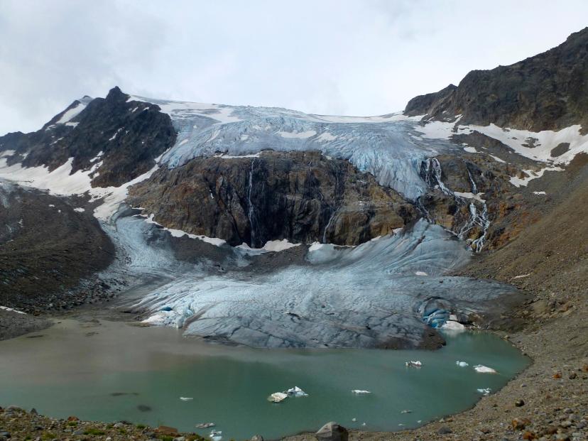
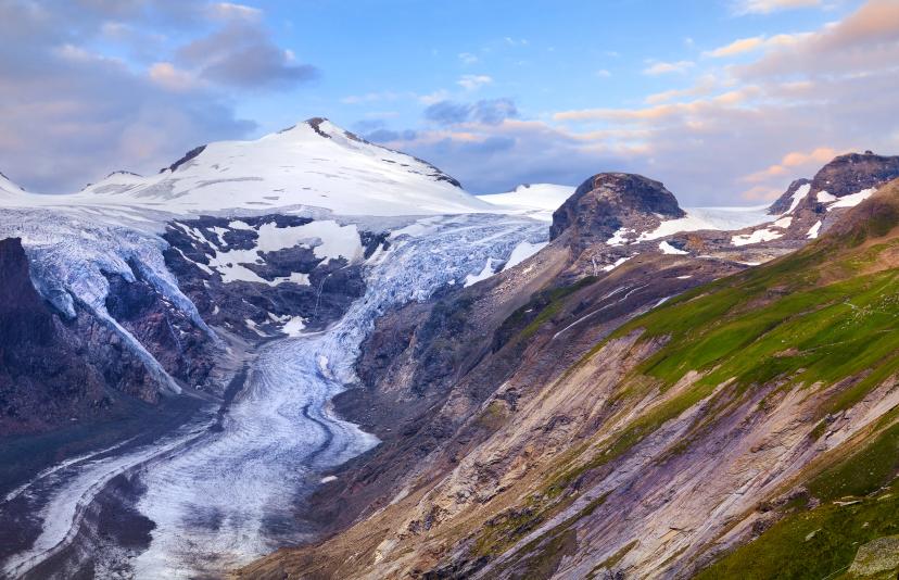
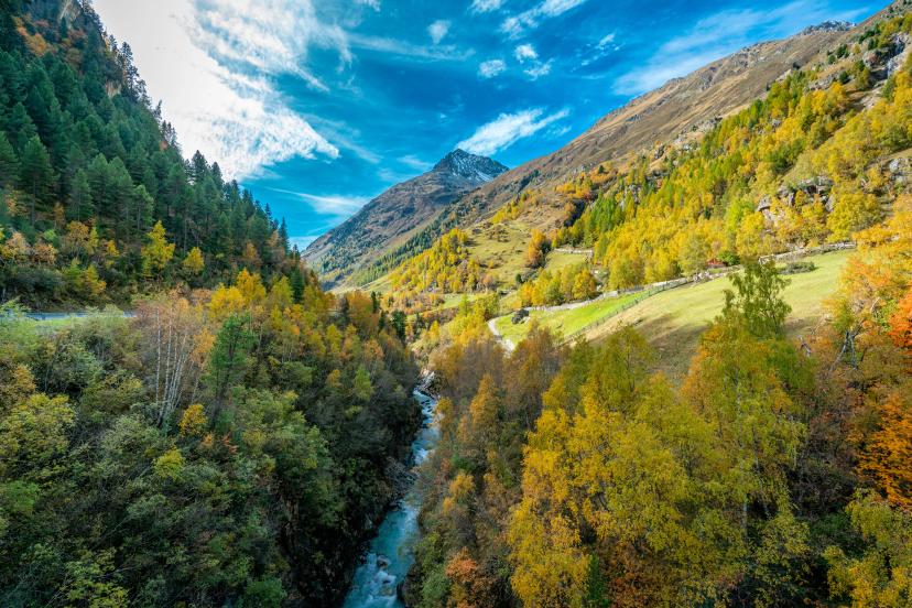
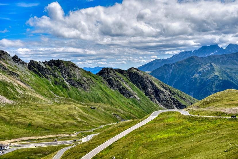
1. Stubai High Trail - The Glacier Circuit
The Stubai Höhenweg circles the Stubai Alps in 7 days, delivering glacier panoramas, high Alpine passes, and some of Austria's finest mountain hut hospitality. This is trekking in Austria at its absolute best—a complete mountain range circumnavigation that shows you everything these peaks have to offer.
What makes it special:
The route circumnavigates an entire mountain range with 360-degree perspectives that change dramatically each day. You'll cross multiple passes above 2,500m with stunning glacier views, experience excellent mountain hut infrastructure positioned in spectacular locations, and tackle challenging but achievable terrain—this is true Alpine trekking without technical climbing requirements.
Key details:
Duration: 7 days
Technical difficulty: 4/5 | Fitness level: 3/5
Cumulative elevation gain: ~7,000m
Highest point: ~2,800m
Best season: Late June through mid-September
Highlights on the Way
Best for: Experienced hikers seeking classic Alpine trekking with sustained high-altitude hiking, dramatic glacier views, and authentic mountain hut culture where you'll share communal dinners with hikers from across Europe.
Experience this legendary circuit:
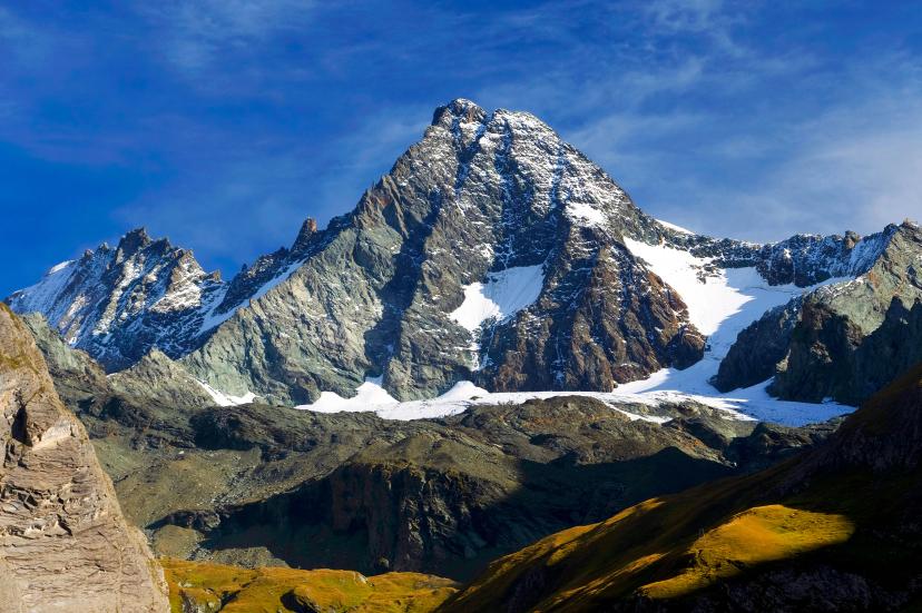
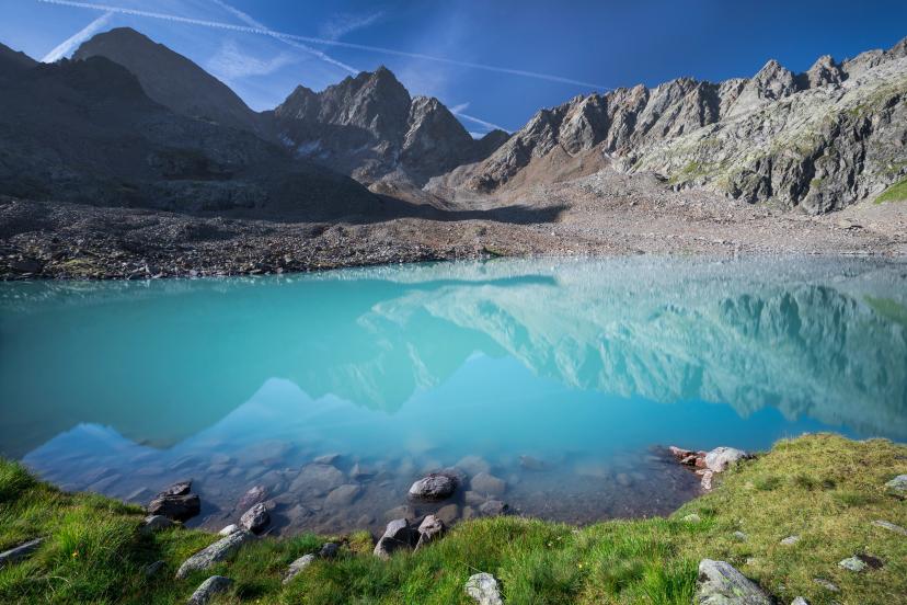
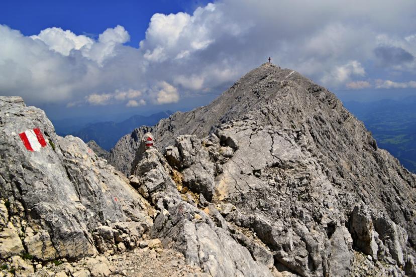
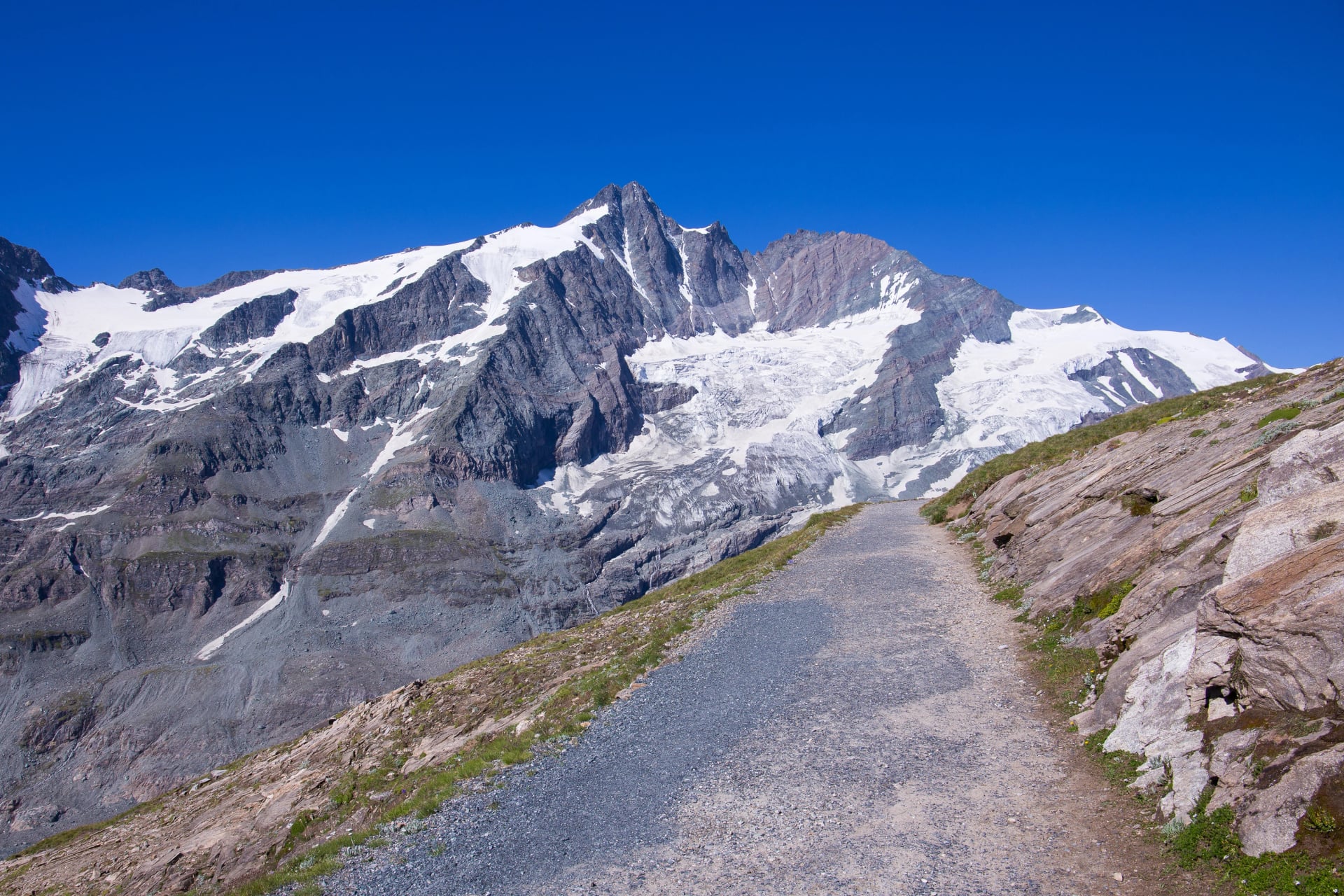
2. The Glockner Trail - Austria's Highest Peak Journey
The Glockner Trail takes you through the heart of Hohe Tauern National Park in 7 days, culminating with spectacular views of Grossglockner—Austria's highest peak at 3,798m. This is one of the best treks in Austria for those seeking big mountain scenery combined with wilderness atmosphere.
What makes it special:
You'll hike through Austria's largest national park with protected wilderness stretching in every direction. The route offers spectacular views of Grossglockner and surrounding glaciated peaks, wildlife-rich terrain where chamois, ibex, golden eagles, and marmots are frequently spotted, and beautiful variety combining high Alpine passes with gentle valley sections. The rich Alpine botanical diversity across varied elevation zones makes this particularly rewarding for nature enthusiasts.
Key details:
Duration: 7 days
Technical difficulty: 3/5 | Fitness level: 3/5
Cumulative elevation gain: ~6,500m
Highest point: ~2,700m
Best season: July through early September
Highlights on the Way
Best for: Hikers who want big mountain scenery, wildlife spotting opportunities, and varied terrain mixing challenging passes with easier valley walking. This route balances spectacle with accessibility.
Grossglockner is one of Austria's most iconic sights — see our guide to the top 15 landmarks in the Austrian Alps for what else to look out for along the way.
Discover Austria's highest peaks:
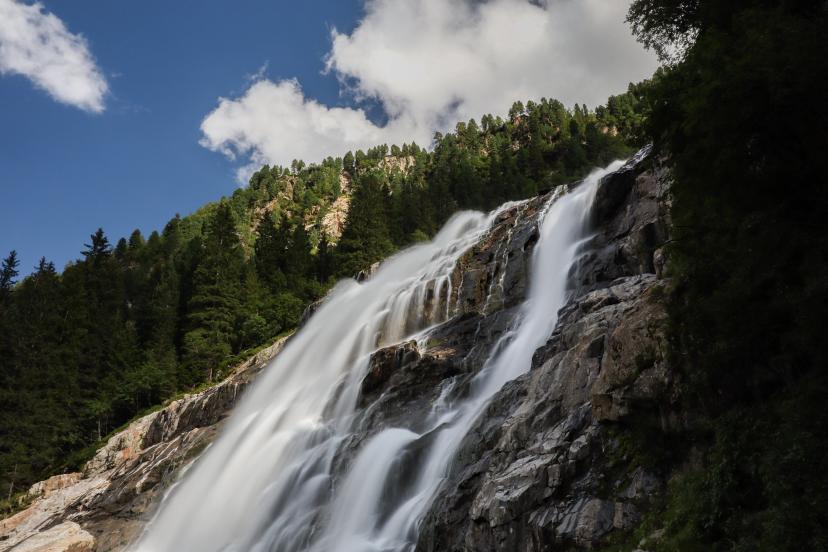
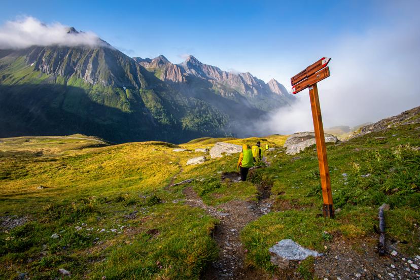
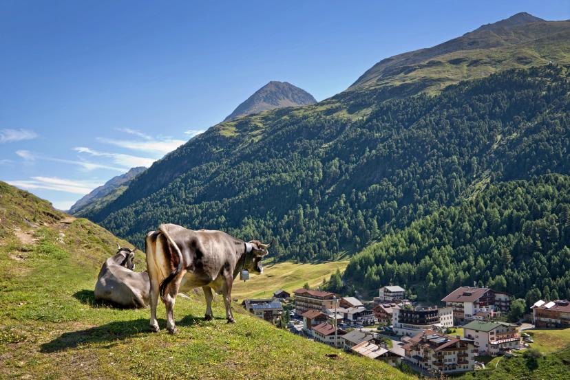
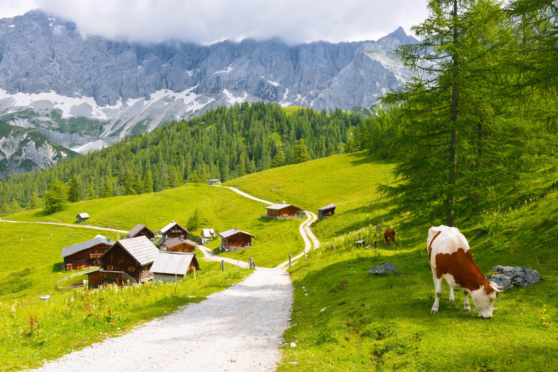
3. Adlerweg Highlights - The Eagle's Path Sampler
The Adlerweg spans all of Tyrol across 33 stages covering 413km total, but our 5-day highlights section captures the route's most spectacular segments without the full month-long commitment. This makes it one of the most accessible multi-day treks for hikers new to Austria trekking routes.

What makes it special:
You'll sample the best of Austria's longest marked trail without overwhelming time commitments. The route crosses diverse Tyrolean landscapes from dramatic limestone peaks to rolling Alpine meadows, with lower technical demands than Stubai or Glockner routes—making it accessible to more hikers. Experience rich Tyrolean culture through traditional villages, and enjoy flexible routing that allows customization based on your fitness and interests.
Key details:
Duration: 5 days
Technical difficulty: 3/5 | Fitness level: 4/5
Cumulative elevation gain: ~5,000m
Highest point: ~2,400m
Best season: June through September
Highlights on the Way
Best for: First-time Alpine trekkers wanting a manageable introduction to mountain hut hiking, families with teenagers, or anyone seeking varied scenery without extreme altitude challenges.
Choosing the right hut makes a huge difference — our guide to the best mountain huts in Austria covers the standout stays across every region.
Walk the Eagle's Path:
See more about what there is to know about the Eagle’s Path in our dedicated Adlerweg hiking guide.
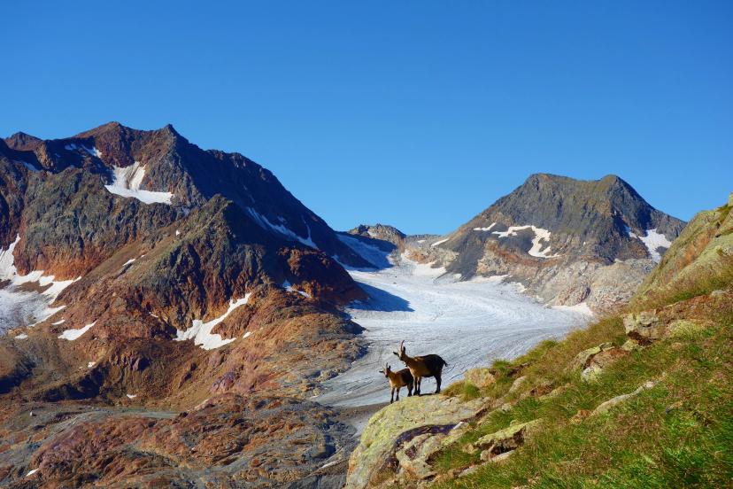
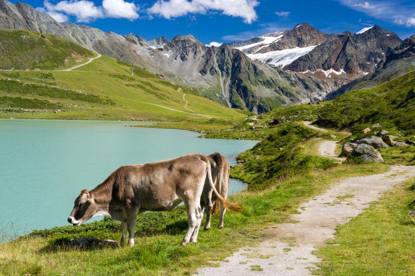
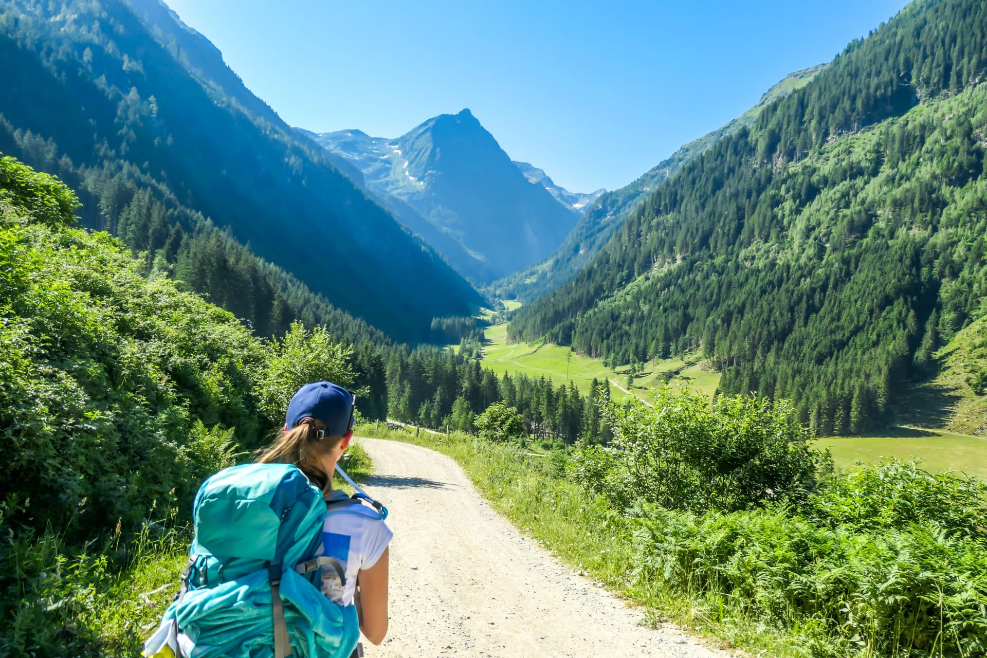
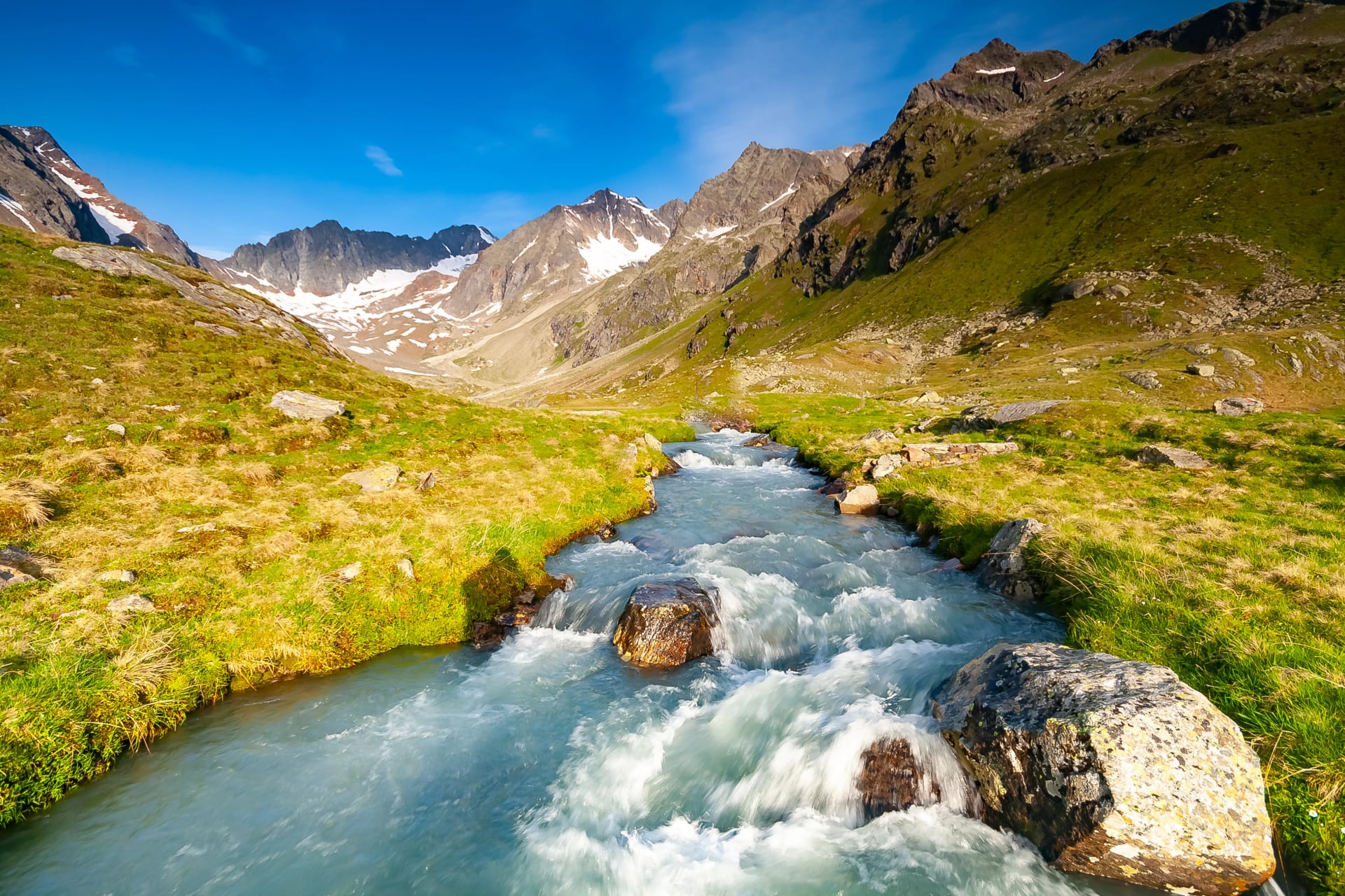
4. The Ötztal Trek Highlights - Remote Alpine Wilderness
The Ötztal Trek explores one of Austria's wildest and most remote valleys in 6 days, crossing high passes through terrain that feels genuinely untouched and pristine. For hikers seeking solitude and raw mountain beauty, this is authentic trekking in Austria.

What makes it special:
This is one of Austria's most remote and least-crowded major treks, offering dramatic glaciated peaks and rocky high-altitude landscapes that reward your effort with spectacular earned views. Experience authentic wilderness atmosphere with genuine solitude—you might hike for hours without seeing another person. The challenging terrain through valleys with rich mountaineering history makes this particularly appealing to those who appreciate Alpine tradition.
Key details:
Duration: 6 days
Technical difficulty: 3/5 | Fitness level: 3/5
Cumulative elevation gain: ~5,500m
Highest point: ~2,800m
Best season: July through early September (shorter window than other routes)
Highlights on the Way
Best for: Experienced hikers seeking solitude, wilderness atmosphere, and raw Alpine beauty away from popular tourist routes. This trek rewards those who value remoteness as much as scenery.
Explore wild Ötztal:
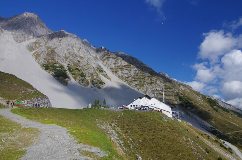
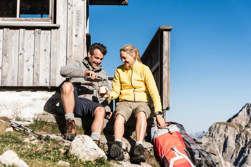
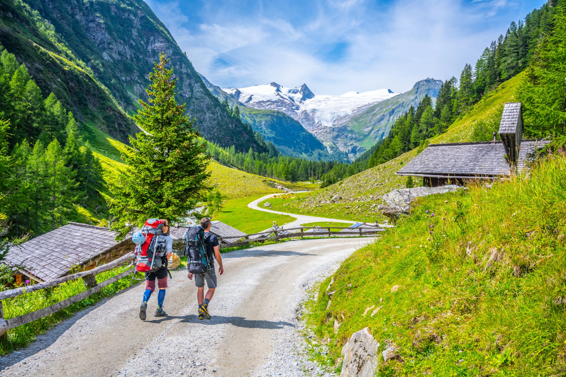
5. 3-Day Hohe Tauern Hut-to-Hut Hike - The Perfect Introduction
For hikers new to mountain hut trekking or those with limited time, this 3-day Hohe Tauern sampler delivers authentic Alpine hiking without the week-long commitment. It's the perfect entry point to Austria trekking routes and mountain hut culture.
What makes it special:
Short enough for a long weekend but capturing genuine Alpine trekking experience, this route offers lower technical demands—making it the perfect first hut-to-hut trek. You'll experience spectacular scenery compressed into just three days, ideal for testing fitness levels before committing to longer routes. It's also a budget-friendly introduction to Austrian Alpine hiking that doesn't sacrifice quality or authenticity.
Key details:
Duration: 3 days
Technical difficulty: 3/5 | Fitness level: 2/5
Cumulative elevation gain: ~2,500m
Highest point: ~2,400m
Best season: Late June through September
Highlights on the Way
Best for: First-time mountain hut hikers, those testing Alpine trekking before bigger commitments, weekend warriors, or anyone with limited vacation time who still wants authentic mountain experiences.
Start your Alpine journey:
Choosing Your Austrian Trek
All five of these best treks in Austria deliver exceptional experiences—the "right" choice depends on your fitness level, experience, available time, and what you hope to experience in the Austrian Alps.
Quick decision framework:
For your first multi-day trek: Start with the 3-Day Hohe Tauern or Adlerweg Highlights—both offer authentic Alpine experiences with manageable technical demands.
For classic Alpine experience: The Stubai High Trail delivers everything that makes trekking in Austria legendary—high passes, glacier views, and spectacular mountain hut positioning.
For the biggest mountains: The Glockner Trail takes you through the heart of Austria's highest peaks with views of Grossglockner dominating your journey.
For genuine solitude: The Ötztal Trek Highlights offers remote wilderness and peaceful trails far from tourist crowds.
If you're looking for something even more accessible, explore our top 5 best hut-to-hut hikes featuring gentler terrain and shorter stages perfect for less experienced mountain hikers.
Are You Ready?
Each of these five Austrian trekking routes represents years of refinement—tested itineraries that consistently deliver transformative mountain experiences. We handle all logistics: mountain hut bookings, route planning, GPS tracks, daily instructions, and full support throughout your trek.
Browse our complete tour collection to explore all available routes, or get in touch to discuss which trek suits your experience level, fitness, and mountain dreams best.
The hardest part of any trek is deciding to go—once you commit, the mountains take care of the rest. See you on the trails!

About this author
Uroš is our travel advisor and a kinesiologist who studied at the Faculty of Sport. An ultra-trail runner and sport climbing judge, he thrives wherever the next challenge waits — mountain biking, alpinism, or ski touring.