Best Peaks to Visit When Hiking in Austria
From non-technical Alpine hikes to via ferrata and glaciated summits, explore Austria’s best peaks by difficulty and region.

Uroš
Published January 9, 2026
Edited March 16, 2026
5 min read
Quick links
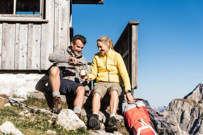
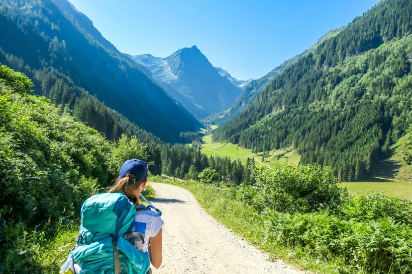
Austria's Alpine peaks offer something remarkable: world-class summit experiences accessible to hikers of virtually every ability level. This accessibility stems from Austria's exceptional mountain infrastructure—cable cars reaching high altitudes, well-maintained summit trails, mountain huts positioned for peak attempts, and a long tradition making peak experiences achievable for determined hikers, not just elite climbers.
This guide presents Austria's most rewarding peaks across five major mountain ranges—each offering distinct character, challenge levels, and unforgettable summit views.

Understanding Peak Categories
Not all mountain peaks require the same skills or preparation:
Non-technical Peaks
Hiking trails to summit—no climbing skills or specialized equipment required
Demand fitness and sure-footedness but accessible to determined hikers
Many reach impressive elevations (2,500-3,100m) with genuine Alpine summit experiences
Intermediate Peaks
Require via ferrata routes (fixed cables, ladders, steel rungs) or scrambling sections
Need via ferrata equipment or confidence using hands on rock
Exposed sections where falls have serious consequences
Demand confidence on exposure and experience with technical terrain
Technical Peaks
Require mountaineering skills: glacier travel, rope work, ice axe use
Serious Alpine objectives typically requiring certified guides
Covered in dedicated section below
For comprehensive guidance on preparing for Austrian Alpine hiking, see our Ultimate Guide to Hiking in Austria.
1. Stubai Alps
The Stubai Alps south of Innsbruck form one of Tyrol's most heavily glaciated ranges, offering excellent non-technical and intermediate peaks alongside technical glacier summits.
Location: South of Innsbruck, Tyrol
Highest peak: Zuckerhütl (3,507m)
Character: Heavily glaciated with dramatic ice-covered peaks rising above green valleys
Accessibility: Well-developed infrastructure with mountain huts and cable car access
Best known for: Stubai Glacier ski area and spectacular glacier panoramas
Main Peaks of the Region:
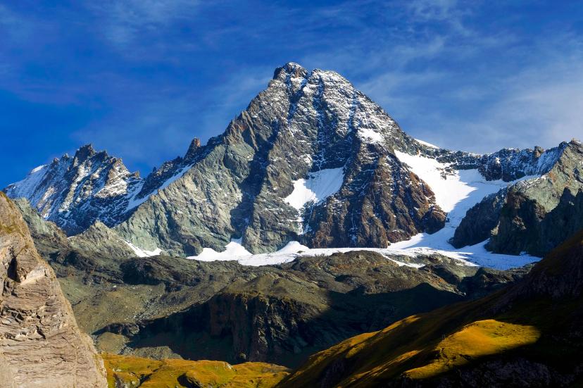
2. Ötztal Alps
The Ötztal Alps form Austria's second-highest range, characterized by extensive glaciation and a wilder, more serious atmosphere than the accessible Stubai region.
Location: Western Tyrol, bordering Italy
Highest peak: Wildspitze (3,768m) - Austria's second-highest
Character: Remote valleys, extensive glacier coverage, serious high-altitude wilderness
Historical note: Site of Ötzi the Iceman discovery (3,210m elevation)
Technical range: Mostly glaciated peaks requiring mountaineering skills; limited non-technical options
Main Peaks of the Region:
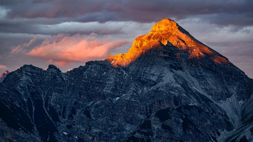
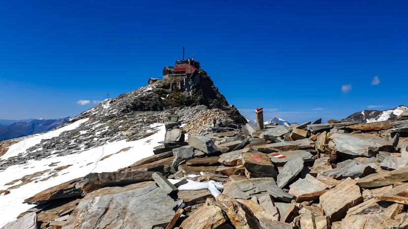
3. Hohe Tauern Range
The Hohe Tauern encompasses Austria's most dramatic Alpine landscape and the country's largest national park, offering exceptional non-technical 3,000m+ peaks—a rarity in the Alps.
Location: Spans Carinthia, Salzburg, and Tyrol (East Tyrol)
Highest peak: Grossglockner (3,798m) - Austria's highest mountain
Range scale: Over 300 peaks above 3,000m
National Park: Established 1981-1991, covering 1,856 square kilometers
Wildlife: Chamois, ibex, golden eagles, marmots in protected wilderness
Geological note: Contains Austria's most extensive glacier systems including Pasterze Glacier (8km long)
For detailed seasonal planning, consult our weather guide for hiking in Austria.
Main Peaks of the Region:
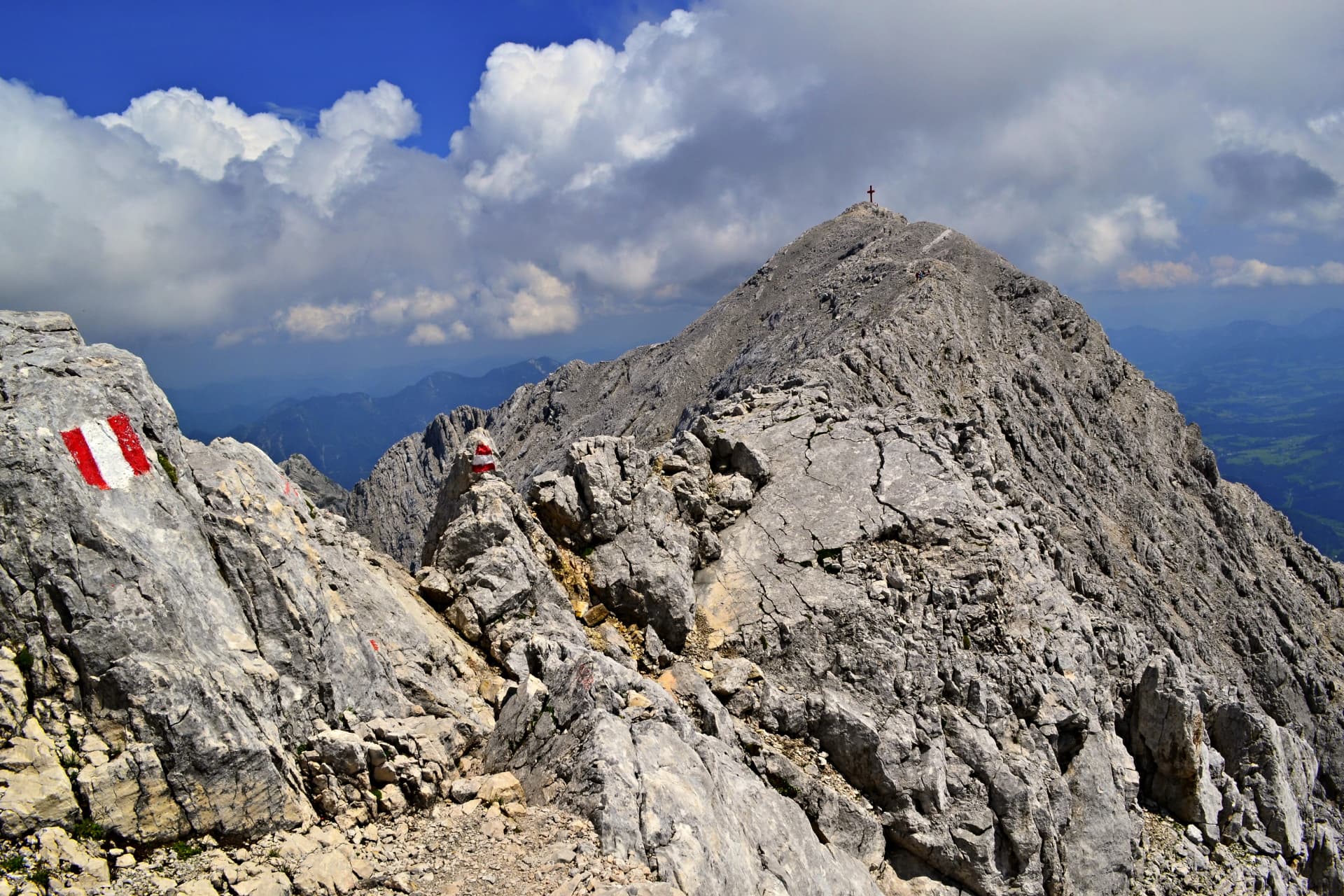
4. Karwendel & Northern Limestone Alps
The Northern Limestone Alps create Austria's most distinctive mountain landscapes with vertical white rock walls, dramatic ridges, and exceptional proximity to major cities like Innsbruck.
Location: Northern Tyrol, extending to German border
Highest peak: Birkkarspitze (2,749m)
Character: Limestone geology creating sharp ridges, vertical walls, and dramatic exposure
Protected area: Karwendel Nature Park (727 square kilometers) - Austria's largest nature reserve
Accessibility: Direct cable car access from Innsbruck city center to 2,334m
Historical note: Established as protected area in 1928, preserving remote character despite urban proximity
Main Peaks of the Region:
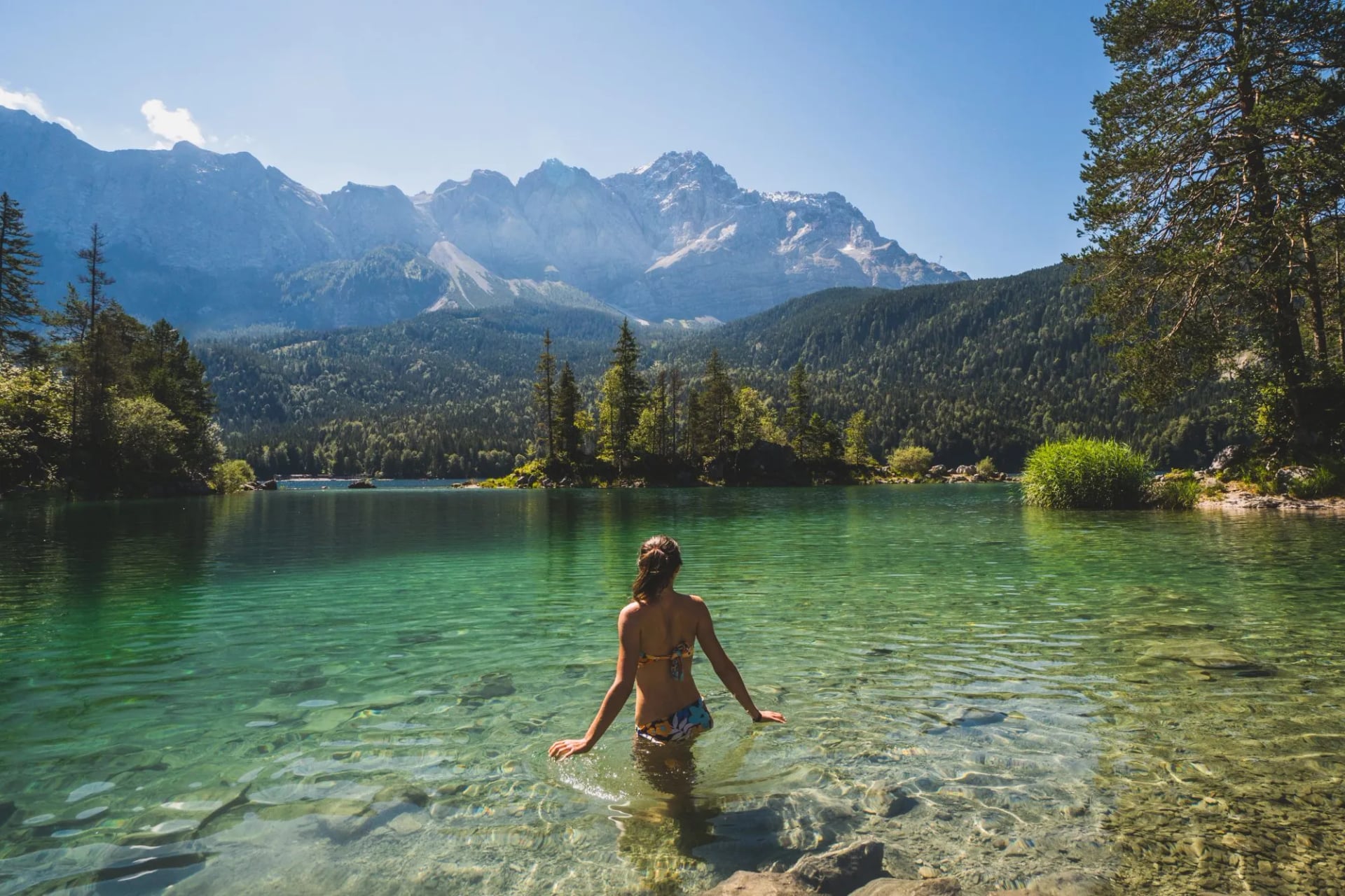
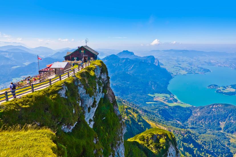
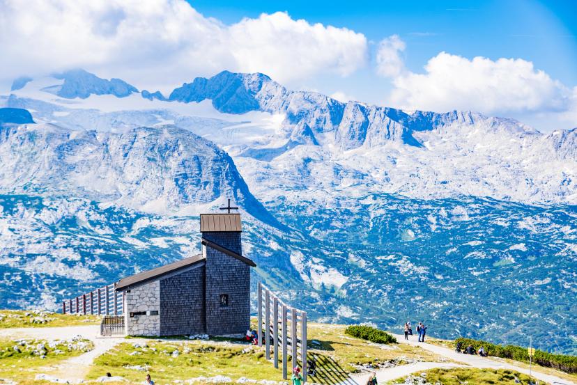
5. Dachstein & Salzkammergut Alps
The Dachstein massif forms the highest mountain in the Northern Limestone Alps, creating dramatic scenery visible across central Austria while the surrounding Salzkammergut region offers gentle lake district summits.
Location: Border of Salzburg, Styria, and Upper Austria
Highest peak: Hoher Dachstein (2,995m)
Character: Highest limestone peaks combined with gentle Salzkammergut summits - broadest difficulty spectrum
Unique feature: Only glacier in the Northern Limestone Alps (Dachstein Glacier)
Geological note: Extensive karst formations, cave systems, sinkholes on plateau areas
Historical significance: Dachstein south face is one of Eastern Alps' most impressive limestone walls (1,000m vertical)
Main Peaks of the Region:
For inspiration on combining these peaks with multi-day treks, see our Top 5 Treks in Austria.
Technical Peaks for Experienced Mountaineers
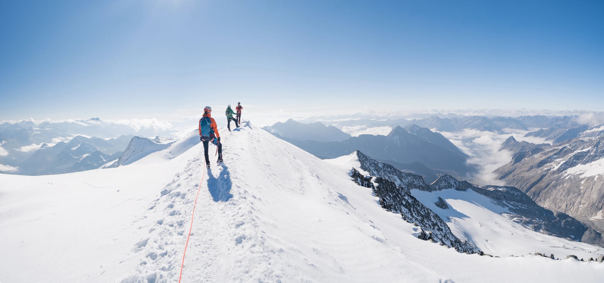
Austria's three most coveted summits require full mountaineering skills—glacier travel with rope and crampons, ice axe proficiency, crevasse rescue knowledge, and often rock climbing ability on exposed ridges. These are serious Alpine objectives where weather windows, fitness, and technical competence determine success and safety.
Main Peaks of the Region:
Our tours do not include technical mountaineering, as these peaks require specialized guiding, equipment, and skills beyond standard hut-to-hut trekking. However, we can arrange custom experiences that combine our established hut-to-hut routes with guided technical summit attempts coordinated with certified Austrian mountain guides.
Get in touch to discuss tailored itineraries incorporating these technical objectives.
Ready to Summit Austria's Peaks?
Best months: July-early September for non-technical peaks; late June-July for technical glaciated peaks. Fitness requirements vary from moderate (Schafberg's 3-4 hours) to extreme (Birkkarspitze's 8-10 hour scrambles). Via ferrata equipment rentals available in most mountain towns.
Browse all tours or schedule a meeting with us to discuss which summits suit your experience level.
The peaks are calling—time to answer.

About this author
Uroš is our travel advisor and a kinesiologist who studied at the Faculty of Sport. An ultra-trail runner and sport climbing judge, he thrives wherever the next challenge waits — mountain biking, alpinism, or ski touring.