Top 5 Hut-to-Hut Hikes in Austria
Experience Austria’s finest hut-to-hut hikes with routes that balance challenge and comfort, delivering real Alpine trekking without technical mountaineering

Uroš
Published January 30, 2026
Edited March 16, 2026
9 min read

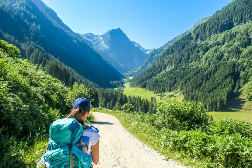
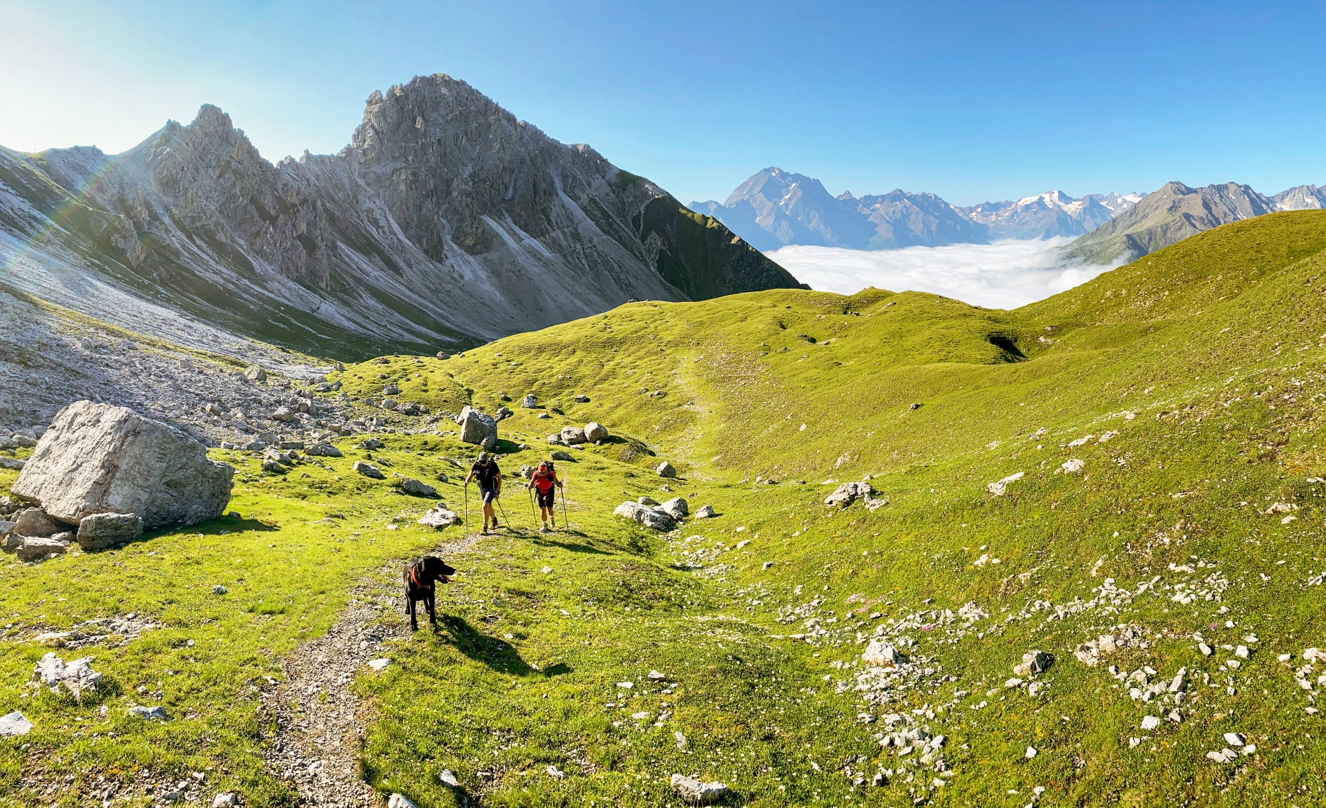
Austria's hut-to-hut network makes multi-day Alpine hiking accessible to a remarkably broad range of hikers. While the country offers challenging high-altitude treks for experienced mountaineers, some of the finest routes require no technical skills—just solid fitness, determination, and an appetite for spectacular scenery paired with comfortable mountain hut hospitality.
This guide presents our five favorite accessible hut-to-hut hikes—routes that balance challenge with achievability, delivering authentic Alpine experiences without demanding extreme fitness or technical expertise. These aren't easy valley walks, but they're achievable for fit, motivated hikers without previous Alpine trekking experience.
Whether you're seeking your first mountain hut adventure, combining lakes with peaks, or simply preferring gentler terrain while still experiencing genuine Alpine beauty, these five routes represent the finest accessible hut-to-hut hiking Austria offers.
For more challenging high-altitude routes, see our guide to the top 5 treks in Austria, and for comprehensive planning guidance, consult our Ultimate Guide to Hut-to-Hut Hiking in Austria.
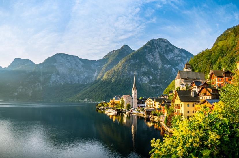
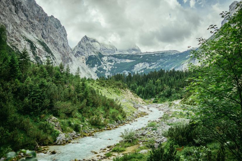
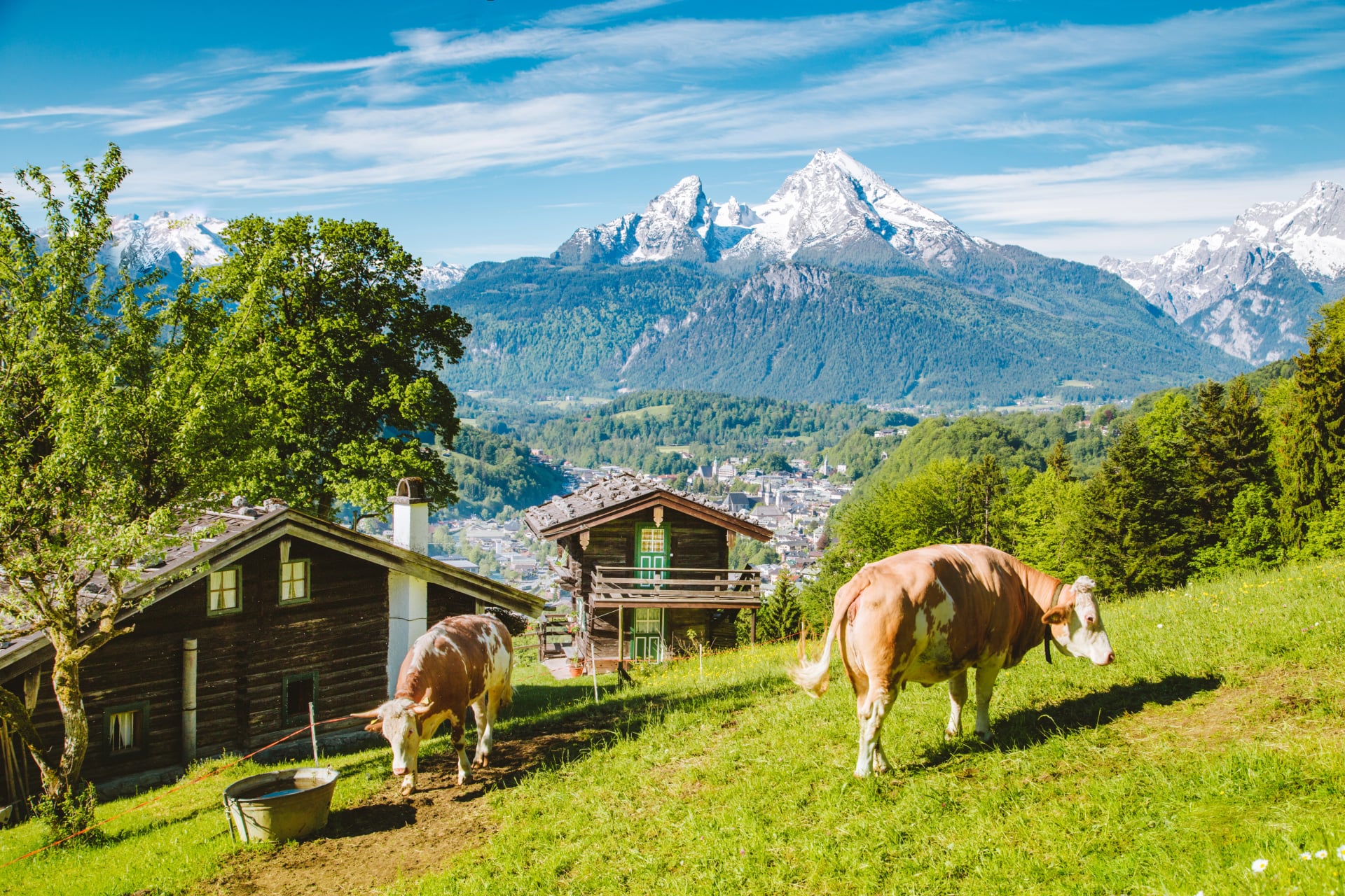
1. The Salzkammergut Lakes Hiking Tour
The Salzkammergut Lakes Hiking Tour explores Austria's stunning lake district over 9 days, combining mountain hiking with pristine Alpine lakes, UNESCO World Heritage villages, and the most accessible terrain of any multi-day route in this guide. This is hut-to-hut hiking for those who value scenic diversity over altitude challenges.
What Makes it Special?
You'll experience Austria's unique combination of Alpine peaks and mountain lakes—scenery unavailable elsewhere in the country. The route passes the famous Hallstatt village (UNESCO World Heritage Site), offering rare cultural immersion alongside natural beauty.

Lower elevations (mostly 800-1,600m) mean comfortable hiking temperatures and an extended season from May through October. The relatively gentle terrain with minimal technical demands makes this ideal for first-time hut-to-hut hikers, while excellent accommodation throughout—mixing mountain huts with lakeside guesthouses—provides comfortable variety.
Key details:
Duration: 9 days
Technical difficulty: 2/5 | Fitness level: 2/5
Cumulative elevation gain: ~5,000m
Highest point: ~1,900m
Best season: May through October
Highlights on the Way
Best for:
First-time hut-to-hut hikers seeking accessible Alpine experiences, families with teenagers, those wanting to combine mountain hiking with lake scenery and cultural sites, photographers drawn to iconic Austrian landscapes, or anyone preferring gentler terrain with extended season flexibility.
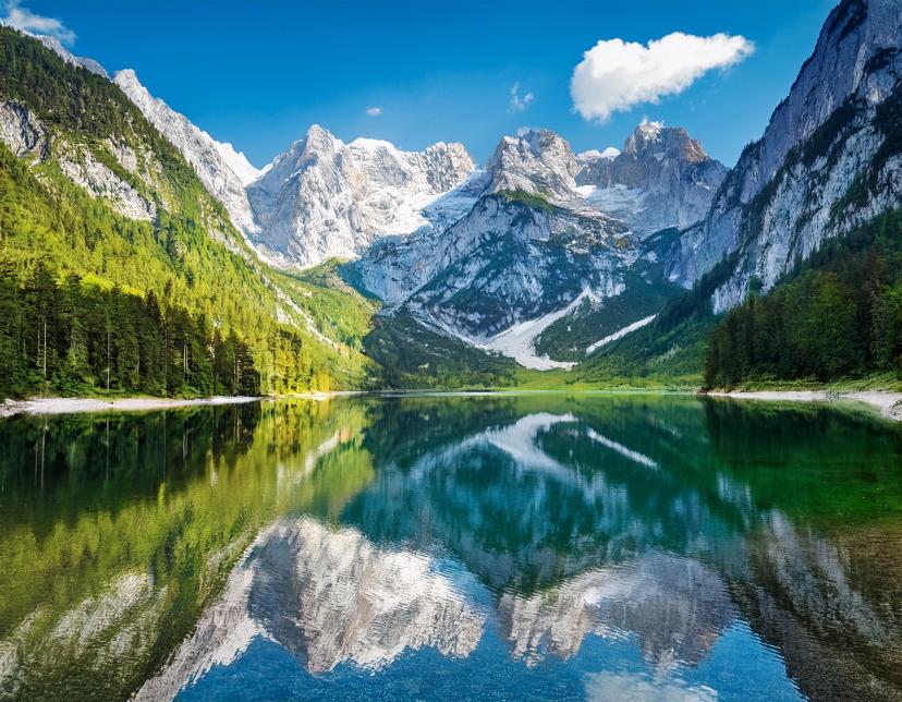
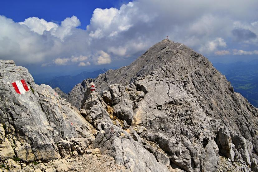
2. The Dachstein Circuit
The Dachstein Circuit circumnavigates the Dachstein massif over 10 days, crossing high limestone plateaus, descending into green valleys, and offering constantly changing perspectives of Austria's most impressive northern Alpine peak. This route balances accessible sections with genuinely challenging mountain terrain.
What Makes it Special?
You'll complete a full circumnavigation of the Dachstein massif with 360-degree perspectives that evolve daily. The distinctive white limestone scenery creates dramatic contrast with the darker crystalline Alps further south. The route combines varied terrain—high karst plateaus, forested valleys, Alpine meadows, and exposed ridge sections—keeping every day interesting.
You'll experience diverse accommodation from remote mountain huts to comfortable valley guesthouses, and witness geological diversity including caves, sinkholes, and unique karst formations alongside traditional Alpine landscapes.
Key details:
Duration: 10 days
Technical difficulty: 4/5 | Fitness level: 3/5
Cumulative elevation gain: ~7,500m
Highest point: ~2,700m
Best season: Late June through mid-September
Highlights on the Way
Best for:
Experienced hikers comfortable with varied terrain including some exposure, those seeking a complete mountain range circumnavigation, limestone geology enthusiasts, hikers who appreciate mixing challenging sections with easier valley days, or anyone drawn to the distinctive character of the Northern Limestone Alps.
For detailed information about mountain huts along this and other routes, see our guide to the best mountain huts for hiking in Austria.
3. Emperor's Crown Trail
The Emperor's Crown Trail circles the Wilder Kaiser massif over 7 days, offering hikers the satisfaction of circumnavigating an entire mountain range while experiencing the full diversity of this legendary Tyrolean region. The trail earned its name from the crown-like profile of the Wilder Kaiser peaks visible from surrounding valleys.
What Makes it Special?
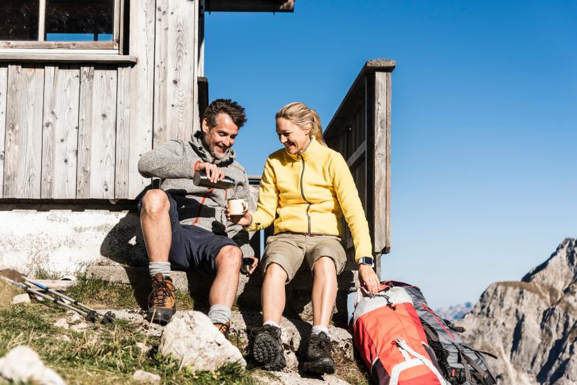
This route strikes an ideal balance between mountain challenge and accessibility—you'll cross high ridges with dramatic limestone wall views but avoid extremely exposed or technical terrain. The trail passes through active Alpine pastures (Almen) where cattle graze in summer, traditional farming huts serve fresh dairy products, and the landscape feels authentically Tyrolean.

Dense beech, birch, and spruce forests alternate with open meadows and rocky ridgeline walking, creating scenic variety throughout. The quality of mountain huts along the Emperor's Crown consistently ranks among Austria's best, with excellent food, comfortable accommodations, and spectacular positioning overlooking the Wilder Kaiser walls.
Key details:
Duration: 7 days (can be shortened to 5-6 days)
Technical difficulty: 3/5 | Fitness level: 3/5
Cumulative elevation gain: ~5,500m
Highest point: ~2,200m
Best season: June through mid-October (longer season than high Alpine routes)
Highlights on the Way
Best for:
Intermediate hikers seeking a complete circuit experience, those new to multi-day hut-to-hut treks but with decent fitness, hikers who appreciate cultural elements and traditional Alpine farming landscapes, anyone wanting excellent hut food and comfortable accommodations, or those seeking achievable routes without extreme exposure.
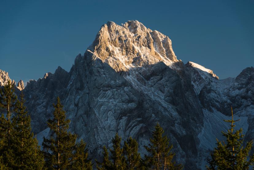
4. The Zugspitze Hike
The Zugspitze Hike reaches the summit of Germany's highest peak (2,962m) over 5 days, starting and finishing in Garmisch-Partenkirchen while approaching through Austrian valleys and experiencing the best of the Wetterstein range. This is summit hiking made accessible—you'll reach a genuinely impressive peak without technical mountaineering skills.
What Makes it Special?
You'll summit Germany's highest peak via hiking trails—no technical climbing required, though the route demands fitness and sure-footedness. The approach through Austrian valleys offers quieter, more scenic routes than crowded German approaches, while varied terrain mixing forests, Alpine meadows, and high mountain paths keeps daily hiking interesting.

The summit panorama is legendary—over 400 peaks visible on clear days—and you can celebrate your achievement at Germany's highest beer garden. Flexible options allow cable car descent if weather deteriorates or legs tire, providing safety buffer uncommon on remote routes.
Key details:
Duration: 5 days
Technical difficulty: 3/5 | Fitness level: 3/5
Cumulative elevation gain: ~4,500m
Highest point: 2,962m (Zugspitze summit)
Best season: Late June through September
Highlights on the Way
Best for:
Summit-focused hikers wanting an impressive peak without technical skills, those seeking a manageable 5-day introduction to Alpine hut-to-hut hiking, hikers who appreciate having infrastructure safety nets (cable cars, frequent huts), anyone drawn to the idea of standing on Germany's highest point, or those wanting international flavor with Austrian-German border crossing.
For month-by-month guidance on optimal summit conditions, see our guide to the best time to hike in Austria.
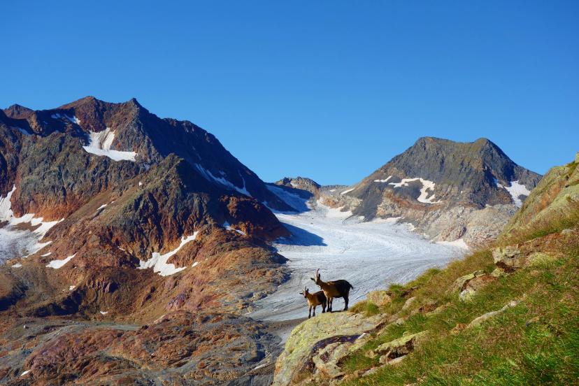
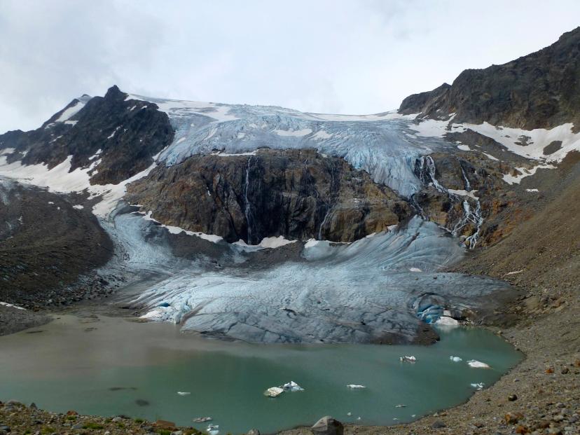
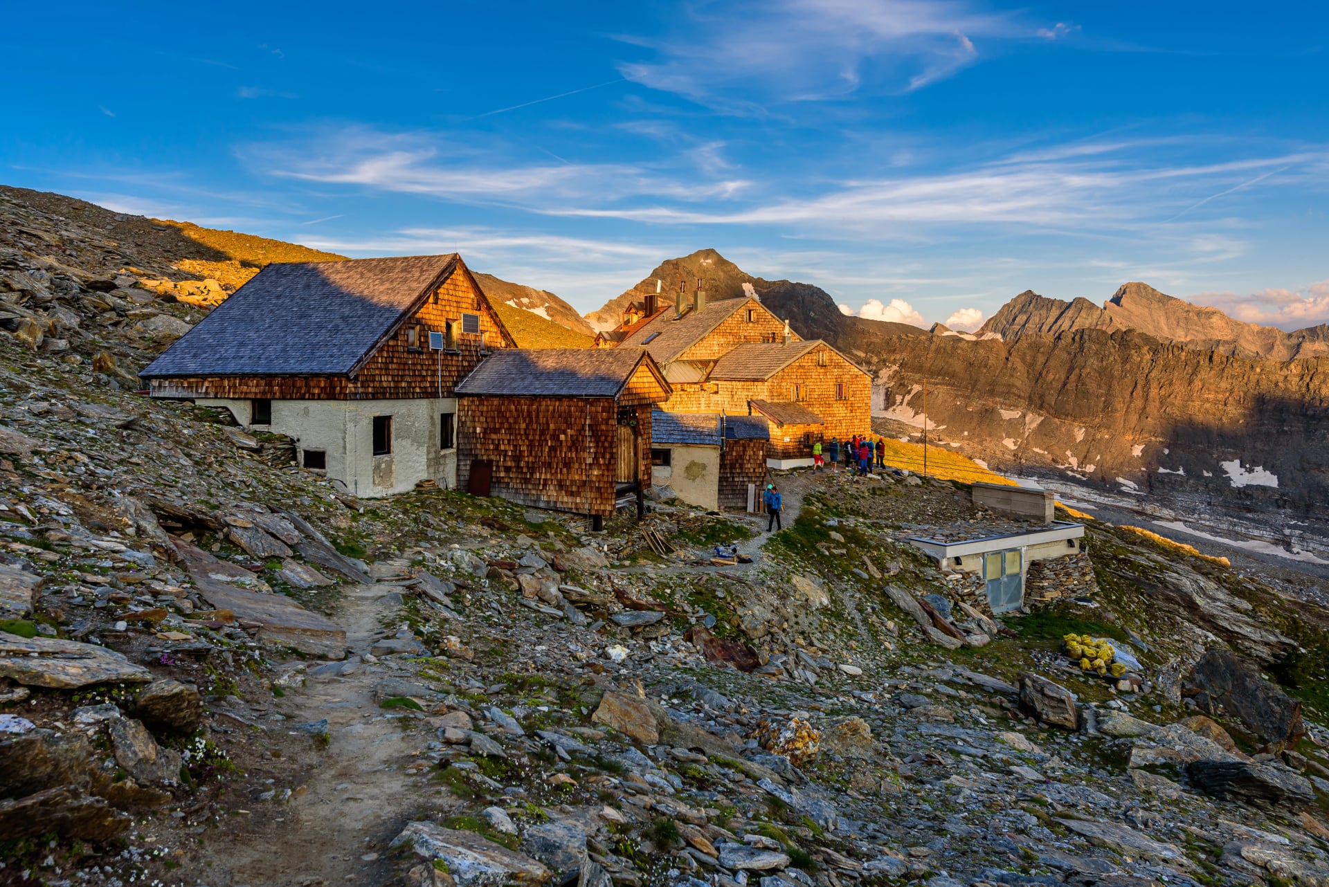
5. Stubai High Trail Highlights
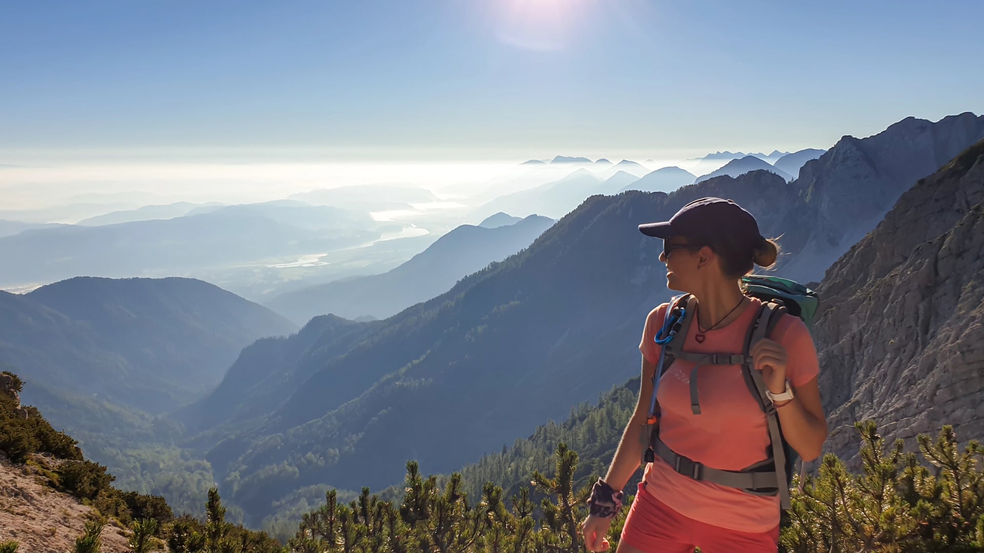
The Stubai High Trail Highlights condenses the classic 7-day Stubai Höhenweg into an intensive 4-day experience, capturing the route's most spectacular glacier scenery without the full week-long commitment. This is accessible high-altitude hiking—genuine Alpine terrain with dramatic views but achievable for determined hikers.
What Makes it Special?
You'll experience authentic high Alpine hiking with glacier panoramas in just 4 days, making it achievable for standard vacation schedules. The route samples the best sections of Austria's legendary Stubai Höhenweg without overwhelming time or fitness commitments.
You'll witness spectacular glacier scenery including views of the Stubai Glacier and surrounding ice-covered peaks that rival any Alpine location. Excellent mountain hut infrastructure provides comfortable overnight stays at high altitude, while the concentrated intensity creates surprisingly impactful experiences despite the shorter duration.
Key details:
Duration: 4 days
Technical difficulty: 4/5 | Fitness level: 3/5
Cumulative elevation gain: ~4,000m
Highest point: ~2,700m
Best season: Late June through mid-September
Highlights on the Way
Best for:
Fit hikers wanting high Alpine scenery in limited time, those testing capabilities before committing to longer routes, glacier enthusiasts seeking dramatic ice landscapes, hikers comfortable with sustained daily elevation gain (800-1,200m), or anyone wanting to sample the legendary Stubai Höhenweg without week-long commitment.
Choosing Your Hut-to-Hut Adventure
All five of these routes deliver exceptional hut-to-hut experiences—the "right" choice depends on your fitness level, experience, available time, and what you hope to experience in the Austrian Alps.
Quick Decision Framework
For your first hut-to-hut trek: Start with the Salzkammergut Lakes Hiking Tour or Zugspitze Hike—both offer achievable terrain with comfortable daily stages and spectacular scenery without extreme altitude.
For the most accessible terrain: The Salzkammergut Lakes Hiking Tour provides the gentlest elevation profiles and lowest technical demands while still delivering authentic Alpine beauty and mountain hut culture.
For complete mountain range circumnavigation: The Emperor's Crown Trail or Dachstein Circuit offer the satisfaction of circling entire massifs with constantly evolving perspectives—choose Emperor's Crown for more accessible terrain, Dachstein for more challenge.
For glacier views without technical demands: Stubai High Trail Highlights delivers dramatic ice landscapes and high Alpine atmosphere in an intensive 4-day format perfect for limited vacation time.
For summit achievement: The Zugspitze Hike takes you to the top of Germany's highest peak via hiking trails—genuine summit glory without mountaineering skills required.
If you're looking for more challenging high-altitude routes with glacier approaches and technical terrain, explore our top 5 treks in Austria featuring the Stubai High Trail (full 7-day version), Glockner Trail, and other demanding Alpine circuits.
Each of these five hut-to-hut routes represents years of refinement—tested itineraries that consistently deliver transformative mountain experiences while remaining achievable for fit, determined hikers. We handle all logistics: mountain hut bookings, route planning, GPS tracks, daily instructions, and full support throughout your trek.
Browse our complete tour collection to explore all available routes, or get in touch to discuss which hut-to-hut adventure suits your experience level, fitness, and mountain dreams best.

About this author
Uroš is our travel advisor and a kinesiologist who studied at the Faculty of Sport. An ultra-trail runner and sport climbing judge, he thrives wherever the next challenge waits — mountain biking, alpinism, or ski touring.