The Glockner Trail
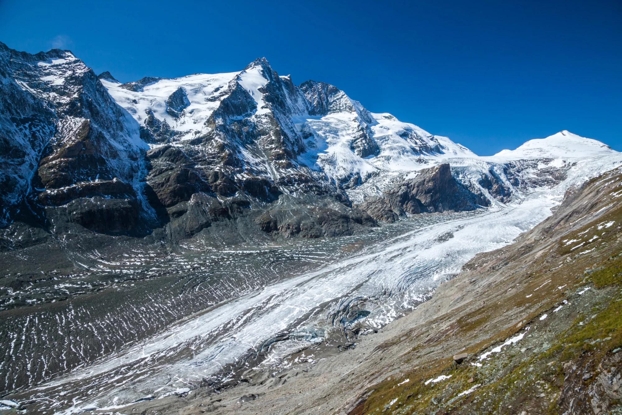
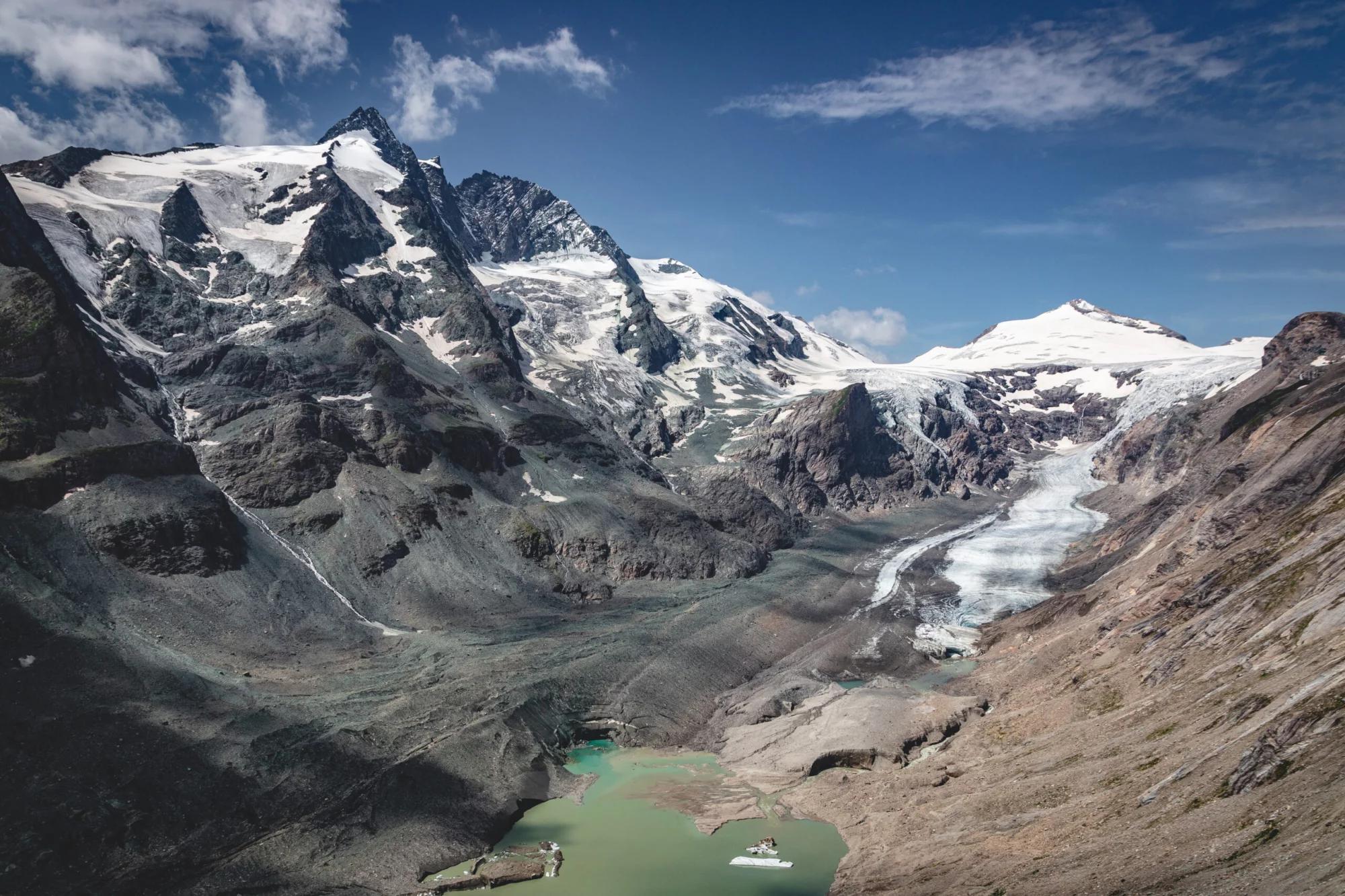
Marvel at the Pasterze Glacier, the country’s largest glacier
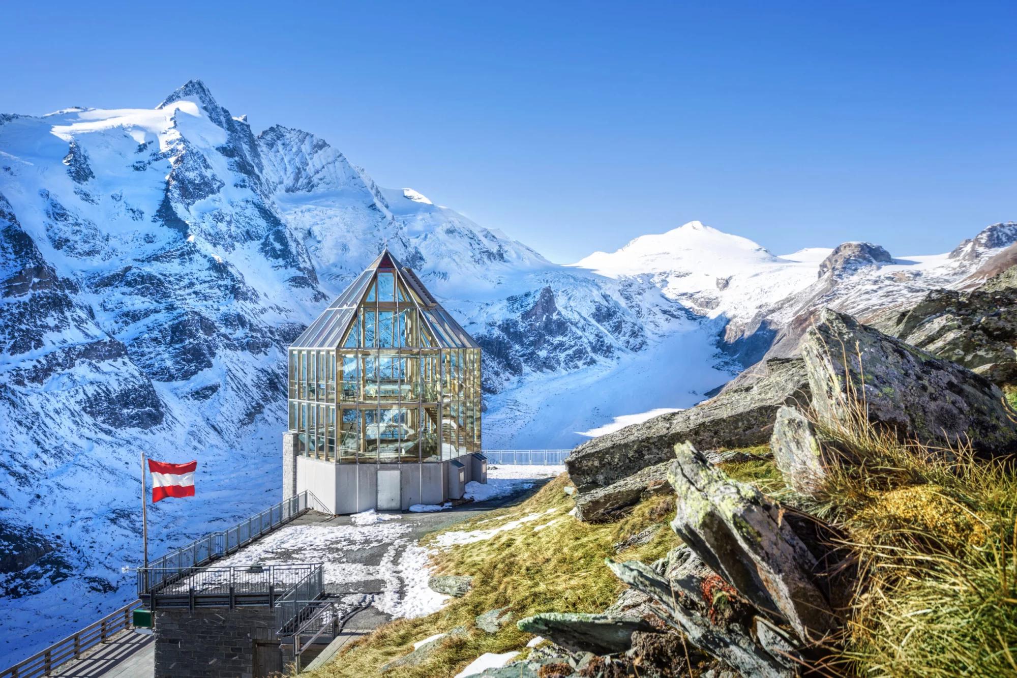
Witness the iconic Grossglockner, Austria’s highest summit
Journey through the heart of Hohe Tauern National Park, Austria’s oldest
Traverse paths that reveal the earth’s ancient story, from dramatic gorges to the remnants of the last Ice Age
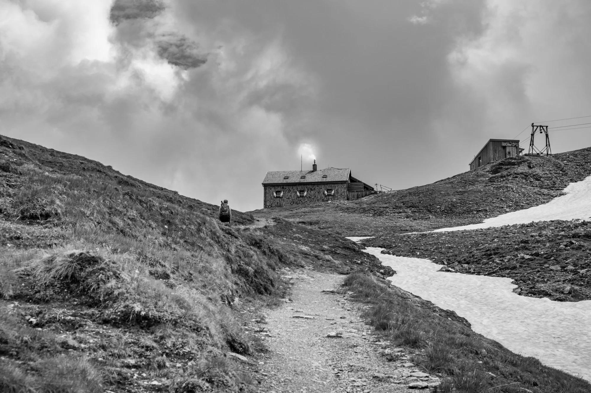
Encounter authentic mountain huts along your journey, offering a taste of the local lifestyle and hospitality
Experience the unique flora and fauna of the Austrian Alps
Itinerary
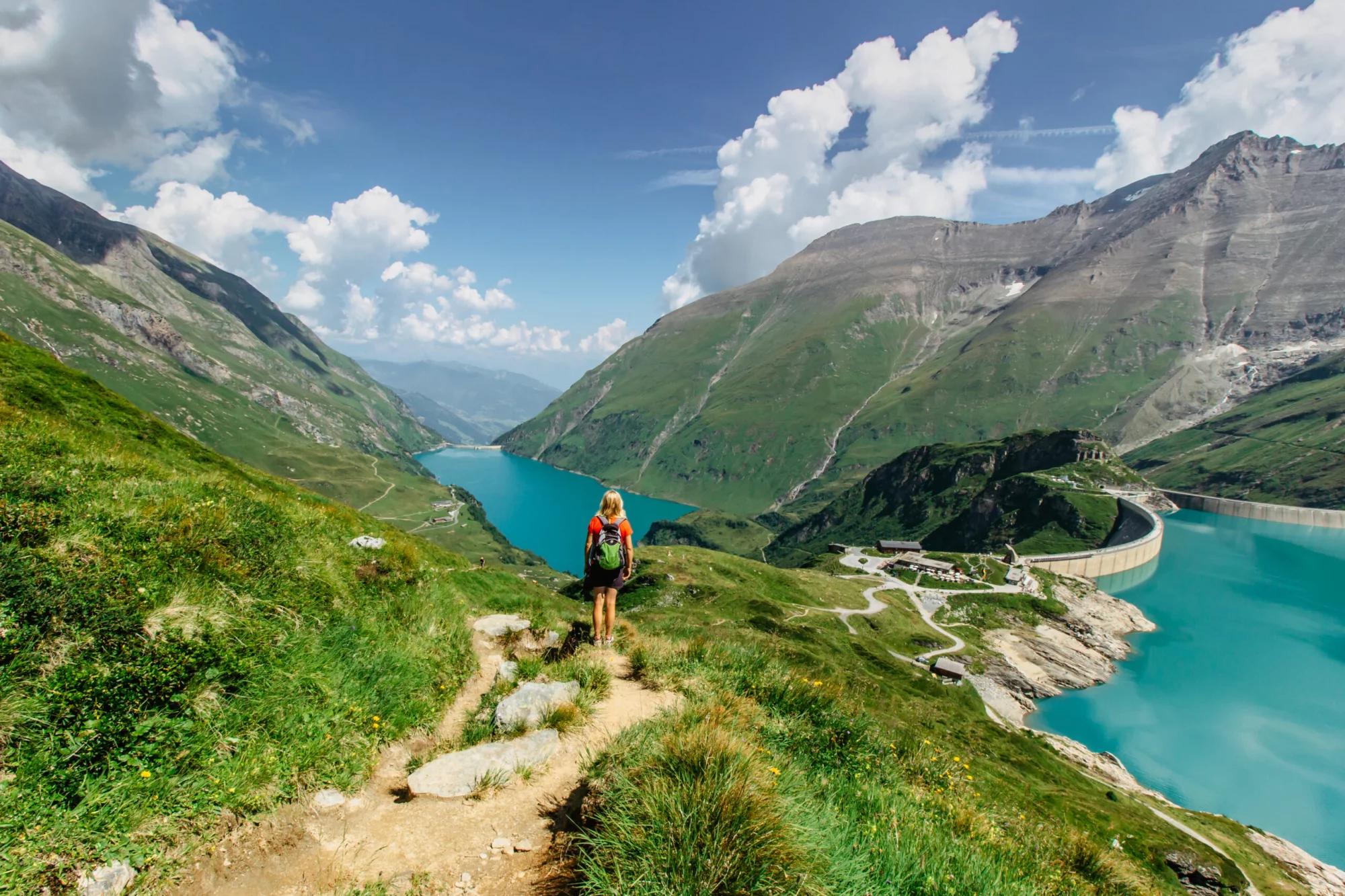
Embark from Kaprun, where you’ll use a bus and the Lärchwand inclinator to comfortably reach the Mooserboden Reservoir, marking the commencement of your alpine journey. The day’s hike takes you across the dam and alongside the lake to the valley’s head. The path, initially flat, escalates across a distinct moraine ridge, unveiling the high alpine rugged terrain. Ascend below Kapruner Törl, where loose slabs of rock increase the trail’s intensity. The final stretch descends into the Übelkar cirque and past Vorderes Eisbichl, leading to the vibrant turquoise of the Ödenwinkelkees glacial stream, which you’ll follow to Berghotel Rudolfshütte.
13.1 km and 980 m of elevation gain / 700 m of elevation loss
Berghotel Rudolfshütte
After leaving the comfort of Berghotel Rudolfshütte, your path leads you towards Kalser Tauern pass at 2513 meters. Upon reaching Kalser Tauern, you’ll find yourself at a pivotal point on the trail, where the landscape opens up to reveal the expansive Upper Dorfertal valley below. The trail from here descends into the valley, guiding you towards Tauernbrünnl/Erdiges Eck. Choosing to bypass the more challenging Silesia Mountain Trail, you’ll instead navigate along the edge of Dorfer Lake. This route offers a more direct path down, though it’s marked by a rugged landslide field, demanding careful footing and a steady pace. Your day concludes as you arrive at Kalser Tauernhaus, situated at 1754 meters.
8.8 km and 290 m of elevation gain / 850 m of elevation gain
Kalser Tauernhaus
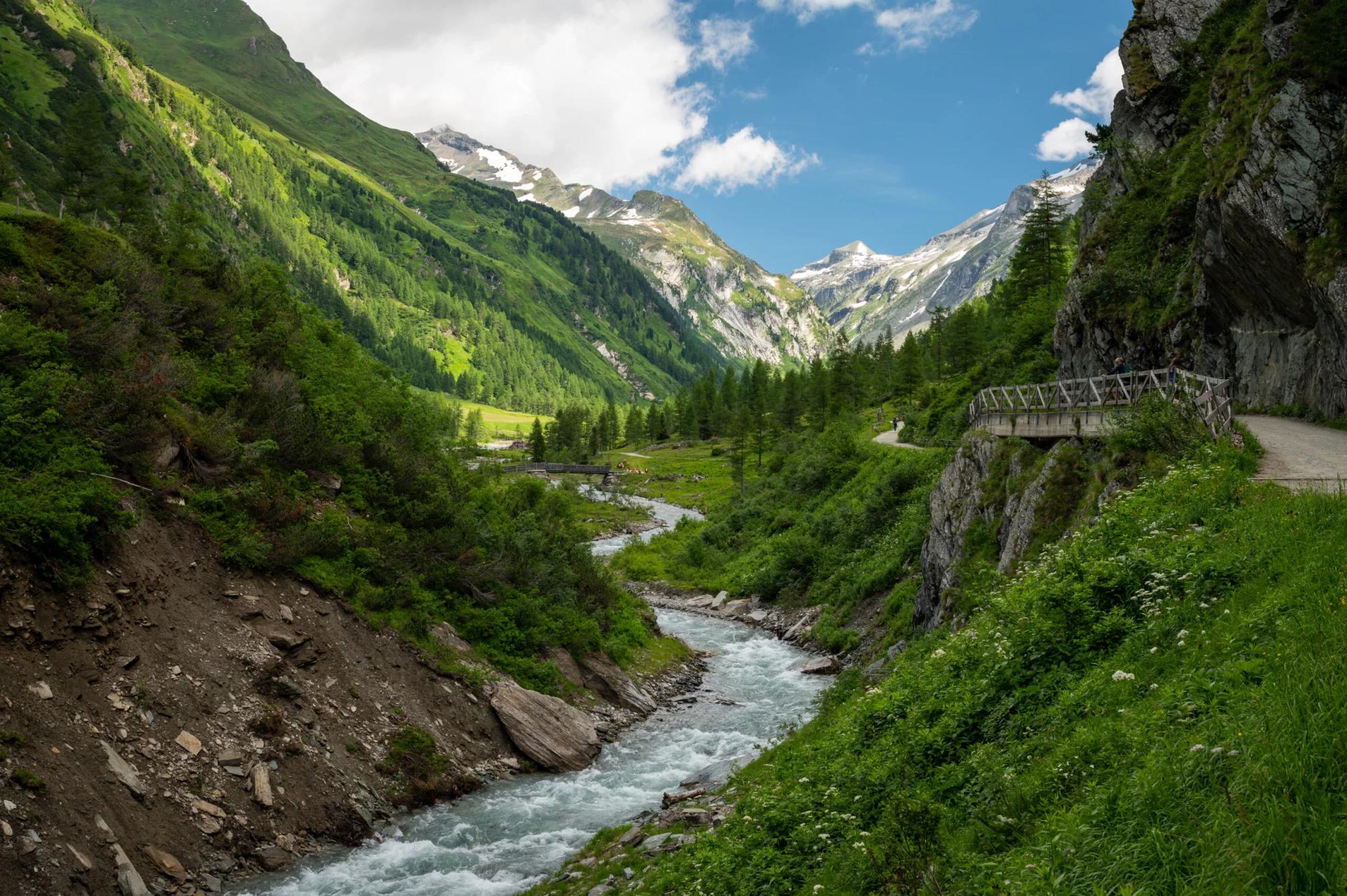
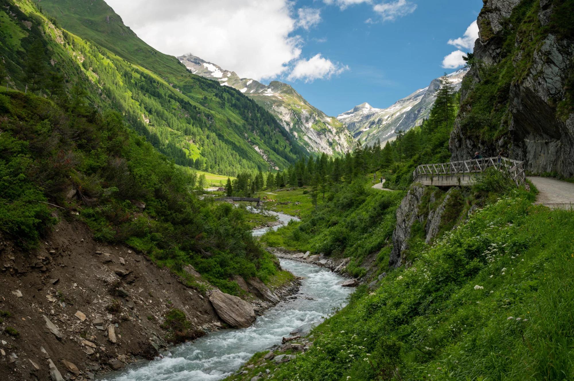
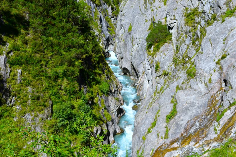
Departing from the Kalser Tauernhaus at dawn, your trail for the day begins with a gentle descent that soon takes you into the heart of the Dorfertal valley. The path meanders through this peaceful landscape, offering glimpses of the diverse flora and fauna that call the Hohe Tauern National Park their home. As you progress, the terrain gradually reveals the entrance to the Drabaschlucht Gorge. Navigating through the gorge, you’ll be captivated by the sheer cliffs and the roaring river along the path. Emerging from the confines of the gorge, the landscape opens up to reveal the picturesque settlement of Kals nestled at the foot of the towering peaks.
9.4 km and 40 m of elevation gain / 460 m of elevation gain
B&B or hotel in Kals am Grossglockner
The trek initially follows Dorfstrasse to the Ködnitzbach stream and then veers left onto a forestry road towards Lesachriegel peak. The path ascends to Glorergartenalm meadows through steep bends, leading to a junction towards Tschadinalm meadows. You’ll skirt the treeline, passing Tschadinalm and a wayside cross before descending to Peischlachbach stream. The route then challenges you with a climb to Peischlachtörl, navigating through boulder fields to Glorerhütte. From Glorerhütte, the trail heads northeast towards Glatzbachtal Valley, offering early views of Grossglockner. Before Glatzschneid, it descends to the Leiterbach stream, where track No. 702B ascends to Salmhütte.
13 km and 1520 m of elevation gain / 220 m of elevation gain
Salmhütte
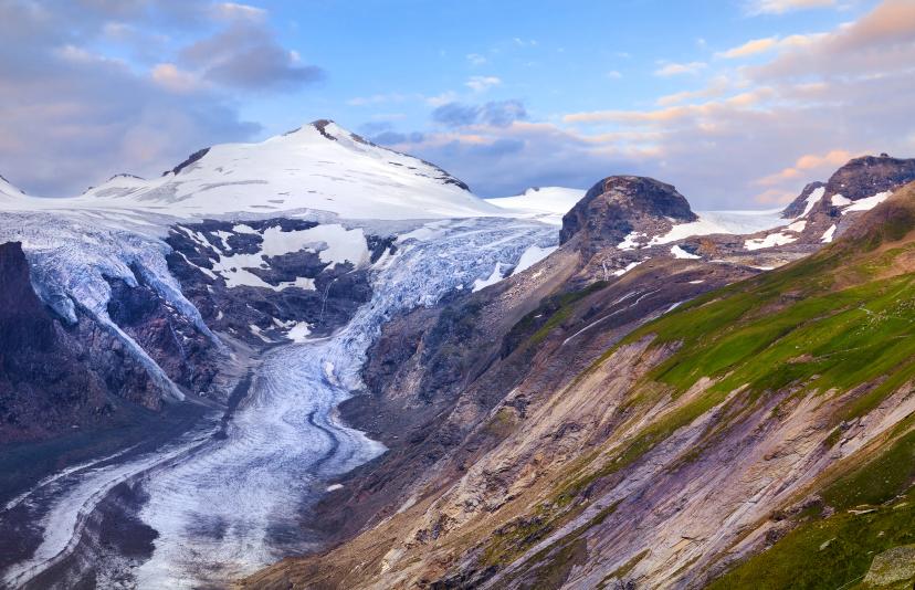
Leaving Salmhütte, you’ll descend through the picturesque Leitertal valley, following the Graf Salm track to the Leiterbach stream across vibrant alpine meadows. Instead of continuing the descent to Heiligenblut, the path ascends towards Kaiser-Franz-Josefs-Höhe, offering a stark shift to the rugged, glaciated landscape around the Pasterze Glacier, Austria’s largest glacier, and the tranquil Sandersee lake. Reaching Kaiser-Franz-Josefs-Höhe marks a triumphant moment, providing panoramic vistas of the surrounding alpine giants like Grossglockner.
12.2 km and 580 m of elevation gain / 1080 m of elevation loss
Glocknerhaus
The route from Glocknerhaus to Untere Pfandlscharte is an alpine trekker’s dream, providing an immersive experience into the heart of the Hohe Tauern National Park’s rugged terrain. As you climb, the path offers sweeping views of the Pasterze Glacier and the Grossglockner. Upon reaching the saddle, prepare for a descent that will take you through varied landscapes. The trail down to Ferleiten is well-marked and, while challenging, rewards your efforts with breathtaking vistas and the tranquility of nature’s untouched beauty. Arriving in Ferleiten, you’ll find yourself at the gateway to the Grossglockner High Alpine Road, a perfect spot to catch a post bus to Fusch.
15 km and 650 m of elevation gain / 1630 m of elevation loss
B&B or hotel in Fusch
Begin in Fusch, taking a scenic detour by the Hirzbach waterfall on your way to the Hirzbachtal valley. Ascend steeply via track No. 725 towards Feistalpl and through Grabenschlucht gorge, crossing the Hirzbach stream to reach Hirzbachalm. A left turn here leads to easier climbs and expansive meadows, guiding you to Gleiwitzer Hut. Then, you’ll ascend to the Südliche Brandlscharte saddle. Continue descending past Rosskopf to Harleitenalm and through picturesque pastures down to Kaprun glacier funicular’s parking lot, marking the end of your journey on Glockner Trail.
15 km and 880 m of elevation gain / 930 m of elevation loss
Pricing
Included in price
6x accommodations with breakfast
Tour design and organization
Booklet with detailed itinerary and route instructions
Service and support during your hike
GPS navigation with an easy-to-use app
What to bring to the tour
Description
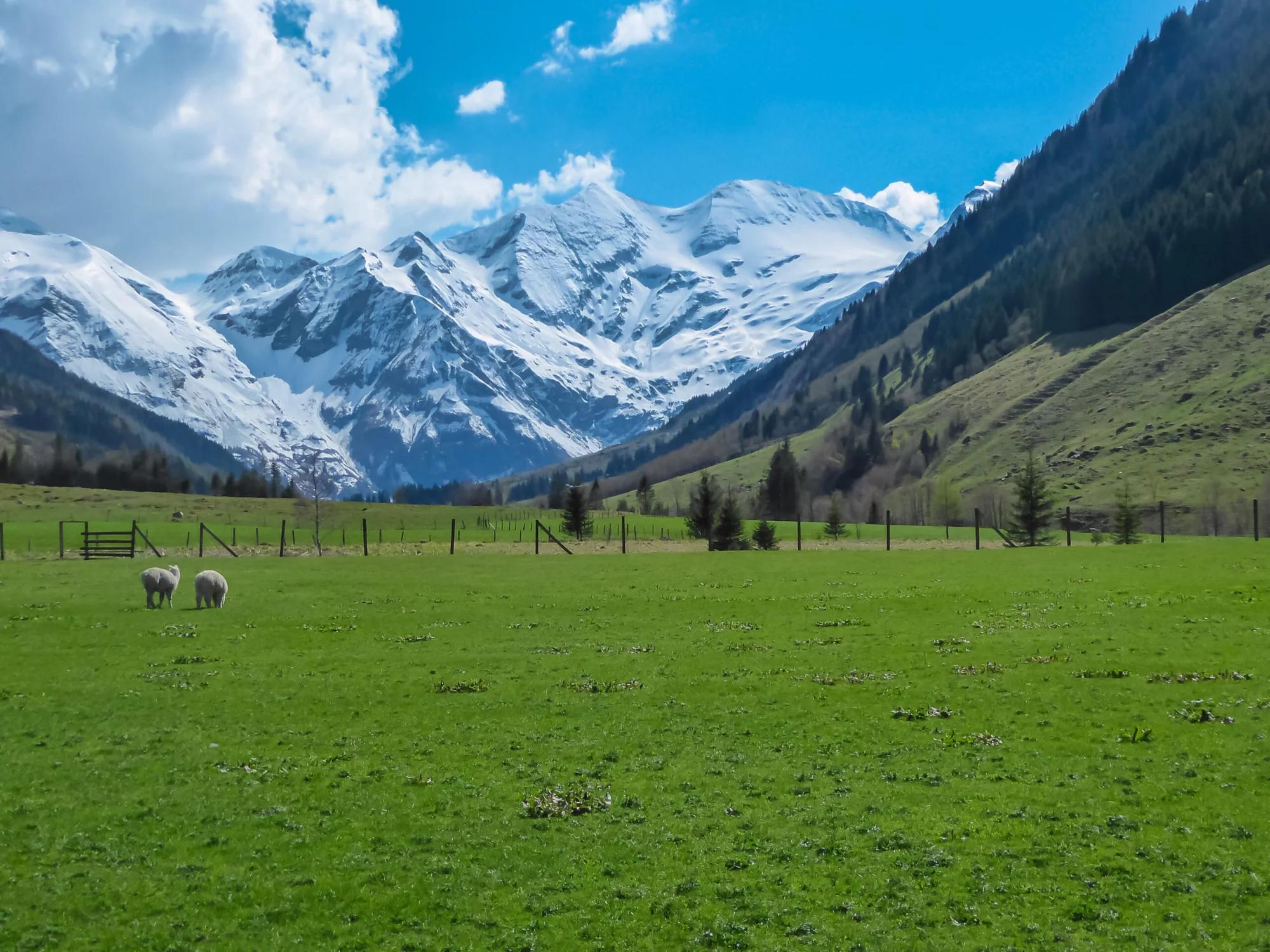
Discover the untouched beauty of the Austrian Alps, where each day unveils new vistas and challenges. From the serene waters of the Mooserboden Reservoir to the rugged beauty of the Grabenschlucht gorge, the Glockner Trail offers a diverse palette of landscapes.
The Glockner Trail, set in the heart of the Hohe Tauern National Park, offers a captivating seven-day hike around Austria’s highest peak, the Grossglockner.
This trail is a treasure trove of alpine wonders, from the Pasterze Glacier, Austria’s largest glacier, and high alpine peaks to verdant pastures cultivated by mountain farmers for centuries.
As an immersive experience into the heart of Austria’s oldest national park, the trail is a sanctuary for rare flora and fauna. Golden eagles, bearded vultures, ibex, and chamois are just some of the wildlife that may grace your journey.
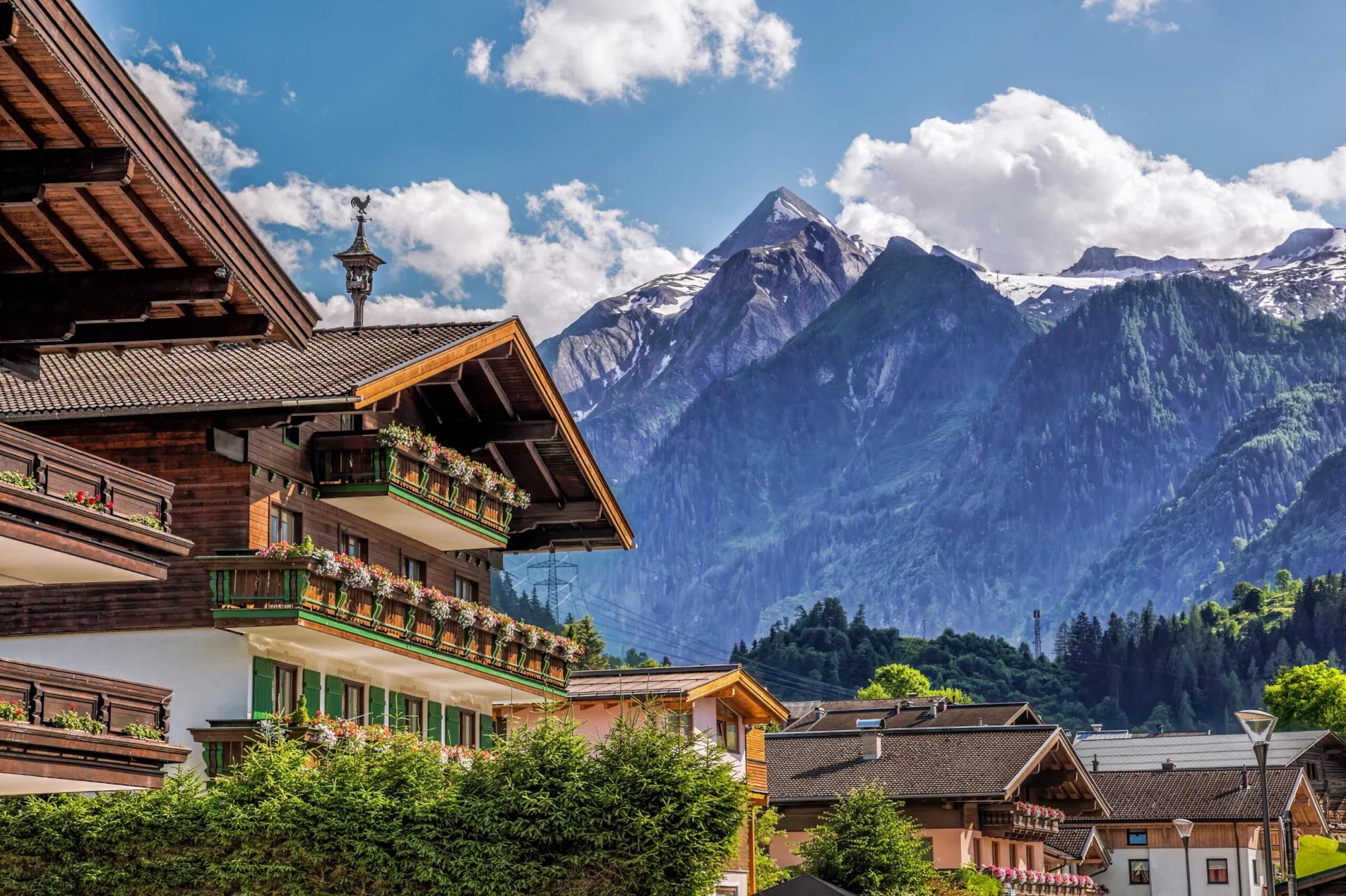
The journey is punctuated by stays in traditional alpine huts, where the charm of rustic living meets the warmth of Tyrolean hospitality.
The trail’s finale brings you close to the awe-inspiring Grossglockner, standing tall as a symbol of alpine majesty.
On the Glockner Trail, our role is to ensure your journey is as breathtaking as the landscapes you’ll traverse. We take care of all the essentials: from booking your stays in charming alpine huts to providing a personalized travel booklet filled with detailed tour information.
Navigate with ease using our user-friendly GPS app, and rest assured with our 24/7 support ready to assist you every step of the way.
With these comprehensive services, we’re dedicated to enriching your experience, allowing you to immerse yourself fully in the wonders of the Austrian Alps.
Map
Start planning today!
Things to know
The hiking season usually lasts from mid-June to late September. It depends on the snow conditions in the higher sections of the Alps, as lots of hiking routes go over high mountain passes. You should check the current situation if you are visiting in early summer, especially for Stubai High Trail, as large parts of the route run above 2000 meters of elevation.
The huts close their doors once the season ends as well, so you cannot plan any multi-day tours outside this time window.
Read more about the hiking season in Austria here.
We’ve rated our tours on a difficulty scale from 1 to 5 — with 1 being the easiest and 5 the most difficult.
The difficulty level of a tour tells you how fit you need to be and how much hiking is involved. Most of our tours are appropriate for people who are regularly active and can hike for about five to seven hours per day.
Technical difficulty means how skilled you need to be to hike on the path. Level 1 means the trail is smooth and wide (like a gravel road), while 5 means the surface is uneven and exposed, and you have to use your hands to help yourself move forward. In practice, that means that the higher the level, the more surefooted and skilled in scrambling you need to be.
You should book your tour as soon as possible, as many accommodations along the trail fill up quickly. That way, you can ensure that you have a place to stay.
In case of an injury, it is best to call the local emergency services. You might find yourself in the wilderness, unable to continue without worsening your situation.
Do not worry too much, though. You will be hiking along popular trails, so you will not get stranded even if something happens.
On the other hand, if you feel too tired to continue hiking, you can always stop in any of the towns and villages along the way and use public transport to get to where you want to be in Austria.
Most huts along our hut-to-hut hikes are equipped with showers, but they might be a matter of whether there has been any rainfall lately. Do not expect too much, as mountain huts are not luxurious hotels.
Read more about the mountain huts here.
No. The huts provide blankets and pillows for comfort. However, you should bring your sleeping liner so they will not have to wash their bed linen every day.
Cell reception is unreliable in the mountains. If you can see a town, you will likely have a reception. The same goes for mountain huts. If you cannot get it inside, try stepping outside. Wifi is available only at select lodges; most do not have it.
If you dress appropriately, most stages can be done even in light rain. However, if a storm is forecasted, do not hike. In that case, you should wait until the storm passes, even if that means spending a day at the hut.
If you’d like to eat a vegetarian meal, it’s usually available at most accommodations. Vegan options are harder to find in huts, but we’ll let you know about them in advance so you can plan accordingly.
We do not demand that you have insurance before booking, but it is advisable to do. Joining the Austrian Alpine Club gets you covered in case anything unexpected happens to you on your way.