Stubai High Trail 5 Days
Trek the astonishing Stubai Alps in five days
Spend your nights in four rustic mountain huts in scenic locations
Hike past stunning waterfalls, glacial lakes, and alongside refreshing mountain streams
Ascend above 2700 meters of elevation
Walk between 5 and 10 kilometers per day
Itinerary
To get to the starting point of your trek, you can catch a bus in Neustift or go by car to the Sulzenauhütte bus stop in the Stubai valley.
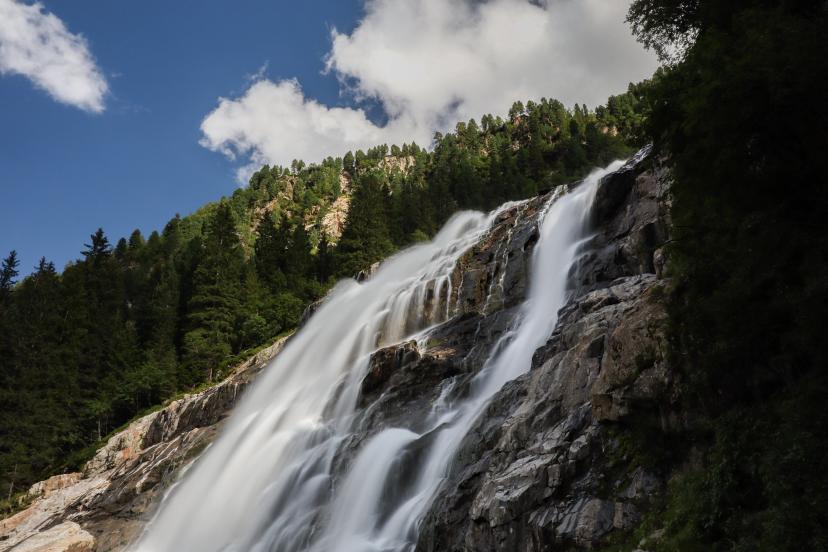
From there, you follow the Wilde Wasser Weg along the Sulzenaubach stream. You will pass many waterfalls while ascending, the Grawa Waterfall among them. Not far from the stream, you will find your accommodation for the night, Sulzenauhütte, at an altitude of 2191 meters.
5 km and 580 m elevation gain
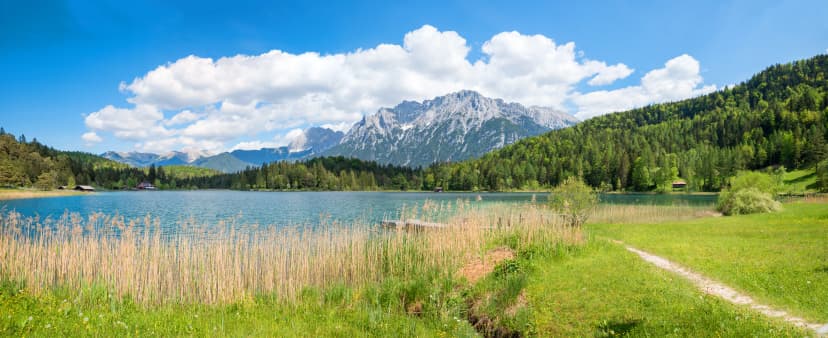
The second day is technically more demanding than the first one, but most hikers find this stage the most scenic on Stubai High Trail. First, you will descend towards the Grünausee, the largest lake in the Stubai Alps. After that, you can choose between two similarly challenging options.
You can ascend the Niederl mountain pass or head in the direction of the Mairspitze mountain peak, which you can conquer if you choose to do so. Both paths get relatively steep below the highest point, so there is some height exposure. You will not have to climb or scramble, but it is essential to be sure-footed to avoid falling, but there will also be a fixed cable to help you pass the most technical ground.
On the other side of the ridge, you will descend along a more pleasant path to the Nürnberger Hütte and spend the night.
5 km and 650 m elevation gain / 550 m elevation loss
As you hike along a vast area of glacial erosion on the third day, you will witness the sheer force and effect of the glaciers on the shaping of the alpine landscape. You will even pass an area called Paradise.
After ascending above 2700 meters of elevation at Simmingjoch mountain pass, you will lightly descend to Bremer Hütte to lay down your backpack for the night.
5 km and 600 m elevation gain / 450 m elevation loss
Today’s stage is almost twice as long as the last two. Experienced hikers can take the technical route past the Lauterersee lake, equipped with fixed steel cable and rungs, while the others will take the usual trail. The paths merge again on the next slope.
After that, you will follow an up-and-down path below the Trauljöch ridge. When you conquer the ascent to the Pramarspitze, one last climb awaits. From the top of it, you will already see the Alfaiersee lake and Innsbrucker Hütte not far off. A well-earned rest will be only a short descent away.
9.5 km and 800 m elevation gain / 850 m elevation loss
For your last day, you have two options. After descending to the Pinnistal valley, you can either continue along the Pinnisbach stream to Neder or ascend to the Elferhütte on the other side of the vale. Then, you can take a cable car to Neustift from the Elferlifte mountain station and conclude your adventure on the Stubai High Trail.
8.5 km and 400 m elevation gain / 740 elevation loss
Pricing
Included in price
4 nights in huts with dinner and breakfast
Digital guidebook with itinerary, route instructions, and practical information
GPS navigation with an easy-to-use app
Tour design and organization
Service and support during your hike
Tourist tax
What to bring to the tour
Description
Stubai High Trail is one of the most popular hut-to-hut hiking trails in the Austrian Alps, and you can see its most panoramic parts on our five-day tour. Leading you across the Stubai Alps and below the highest mountain peaks, the path will take you from deep in the Stubai valley to Neustift.
You will hike beneath jagged mountain peaks, cross scenic mountain passes, follow lively streams, and have fascinating views with you all along. You might never want to leave Tyrol due to the overwhelming beauty all around you.
An essential part of hut-to-hut hiking is sleeping in mountain huts, and you will spend your night in four different lodges in the Stubai Alps. With fresh meals waiting for you every morning and evening, you will also get a substantial taste of the local Austrian dishes.
As we know, planning a multi-day hut-to-hut hike can be tiresome, especially in a foreign country. Consequently, we want to make it as uncomplicated as possible for you. We will book all your accommodations in advance, provide you with a detailed written guide with an itinerary, and equip you with a precise GPS track of the planned route.
This highlights tour is bound to introduce you to the best stages of this iconic trail!
And in case you simply love the idea of attempting to conquer the whole thing, our full 9-day Stubai High Trail tour is waiting for those looking for more of a challenge.
Map
Start planning today!
Things to know
The hiking season usually lasts from mid-June to late September. It depends on the snow conditions in the higher sections of the Alps, as lots of hiking routes go over high mountain passes. You should check the current situation if you are visiting in early summer, especially for Stubai High Trail, as large parts of the route run above 2000 meters of elevation.
The huts close their doors once the season ends as well, so you cannot plan any multi-day tours outside this time window.
Read more about the hiking season in Austria here.
We’ve rated our tours on a difficulty scale from 1 to 5 — with 1 being the easiest and 5 the most difficult.
The difficulty level of a tour tells you how fit you need to be and how much hiking is involved. Most of our tours are appropriate for people who are regularly active and can hike for about five to seven hours per day.
Technical difficulty means how skilled you need to be to hike on the path. Level 1 means the trail is smooth and wide (like a gravel road), while 5 means the surface is uneven and exposed, and you have to use your hands to help yourself move forward. In practice, that means that the higher the level, the more surefooted and skilled in scrambling you need to be.
You should book your tour as soon as possible, as many accommodations along the trail fill up quickly. That way, you can ensure that you have a place to stay.
In case of an injury, it is best to call the local emergency services. You might find yourself in the wilderness, unable to continue without worsening your situation.
Do not worry too much, though. You will be hiking along popular trails, so you will not get stranded even if something happens.
On the other hand, if you feel too tired to continue hiking, you can always stop in any of the towns and villages along the way and use public transport to get to where you want to be in Austria.
Most huts along our hut-to-hut hikes are equipped with showers, but they might be a matter of whether there has been any rainfall lately. Do not expect too much, as mountain huts are not luxurious hotels.
Read more about the mountain huts here.
No. The huts provide blankets and pillows for comfort. However, you should bring your sleeping liner so they will not have to wash their bed linen every day.
Cell reception is unreliable in the mountains. If you can see a town, you will likely have a reception. The same goes for mountain huts. If you cannot get it inside, try stepping outside. Wifi is available only at select lodges; most do not have it.
If you dress appropriately, most stages can be done even in light rain. However, if a storm is forecasted, do not hike. In that case, you should wait until the storm passes, even if that means spending a day at the hut.
If you’d like to eat a vegetarian meal, it’s usually available at most accommodations. Vegan options are harder to find in huts, but we’ll let you know about them in advance so you can plan accordingly.
We do not demand that you have insurance before booking, but it is advisable to do. Joining the Austrian Alpine Club gets you covered in case anything unexpected happens to you on your way.
It is technically more demanding than the Adlerweg Highlights tour. You have to pass some steep scree slopes and climb a mountain pass with a steel cable helping you past the most technical section, but you will not have to climb or scramble up any rocks. Sure-footedness and being used to height exposure are crucial not to panic.
Read more about the technical challenges along the route here.
The nearest airport to Neustift is in Innsbruck, and a bus ride from there takes just below an hour. However, you can also catch a train in Venice if that is where you will land. If you do not find any direct connection to Neustift from your airport, try heading for Innsbruck first and finding a transfer there.
We can also arrange transfers or car rentals for you. If you rent a car, remember to buy a vignette.
There should not be any problem if they are physically prepared for long hiking days. Sure-footedness is also essential, so we recommend they are at least eight years old.
If you want to finish where you started, you have to hike the entire route. However, every hut along the way offers a quick escape route to the valley if need be. You might have to find different means of transportation to return to Neustift then, though.