Adlerweg Highlights
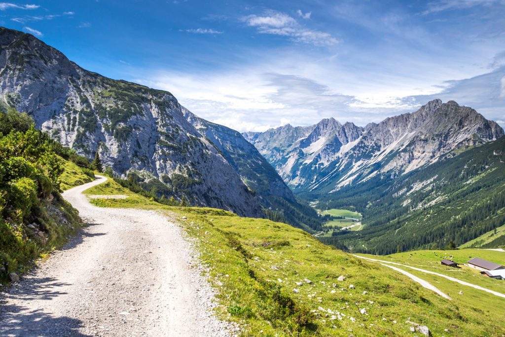
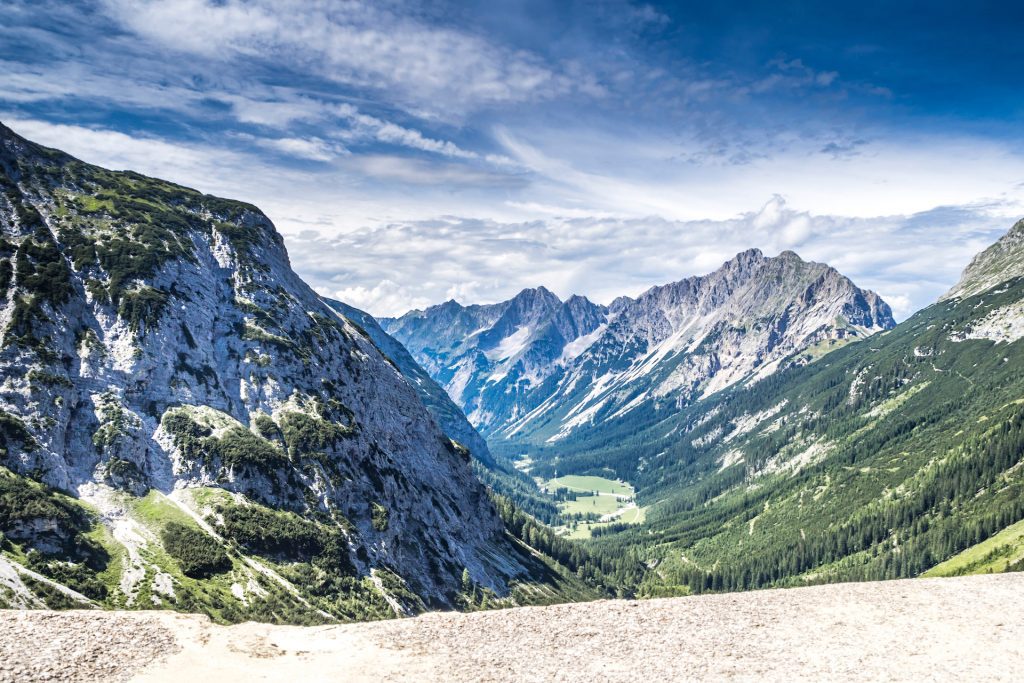
Hike through the Karwendel Alps – the most spectacular part of Tyrol
Complete more than 80 kilometers of hiking and 4500 meters of elevation gain over 5 days
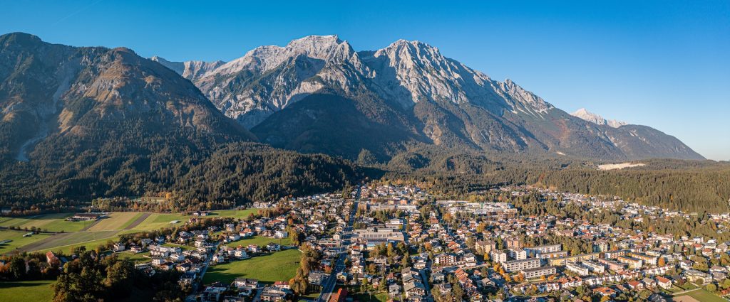
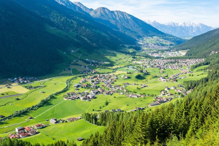
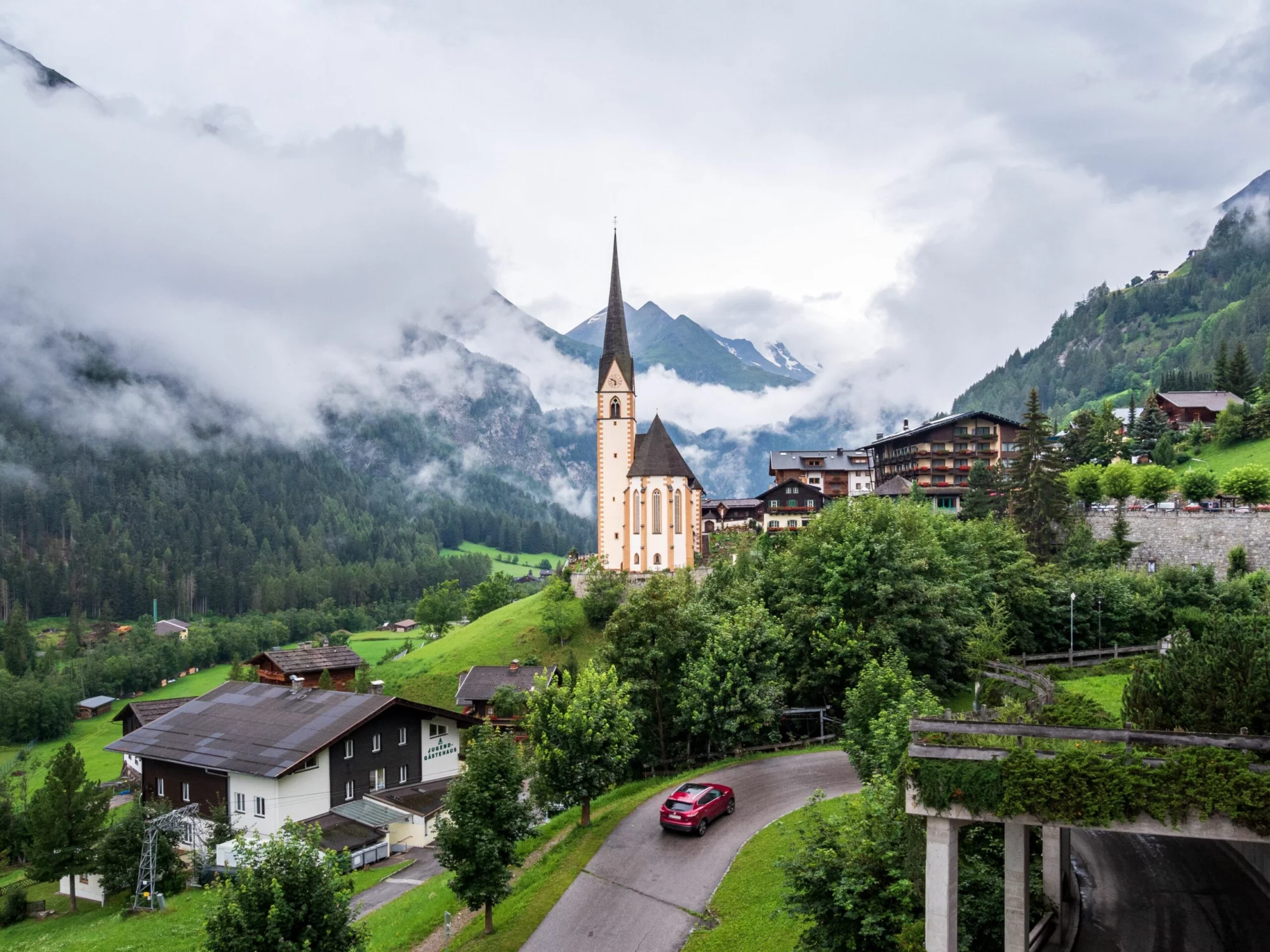
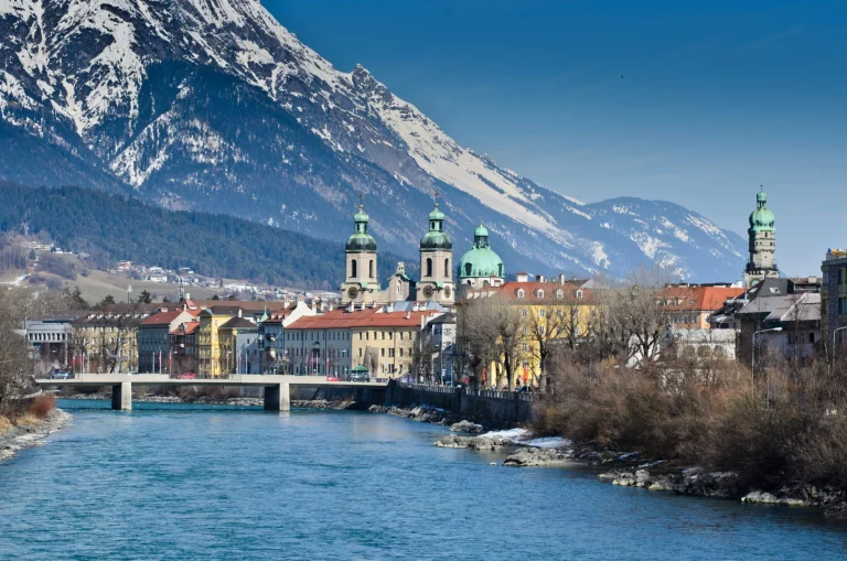
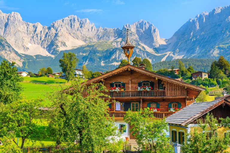
Explore idyllic alpine villages and towns of Pertisau, Eng-Alm, and Scharnitz
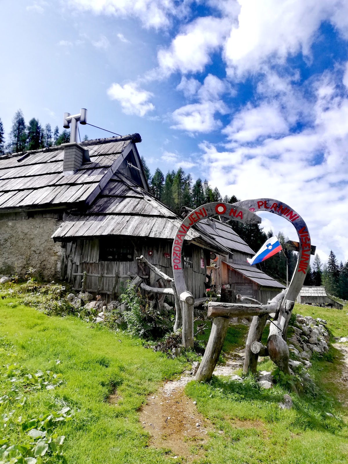
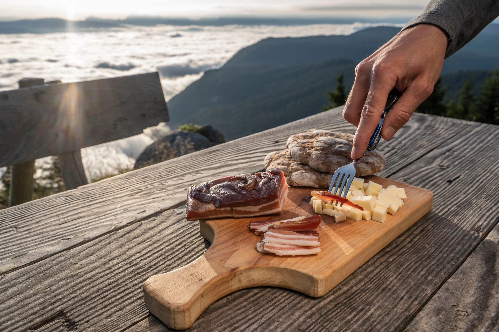
Sleep in authentic mountain lodges in scenic places and discover local homemade cuisine
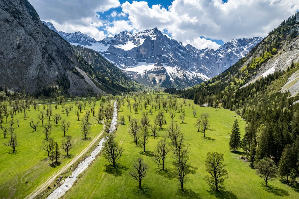
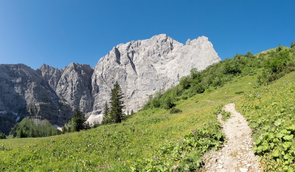
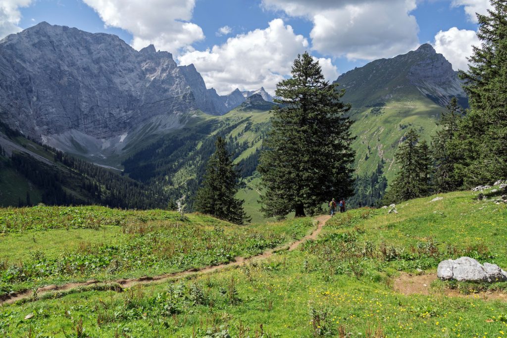
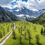
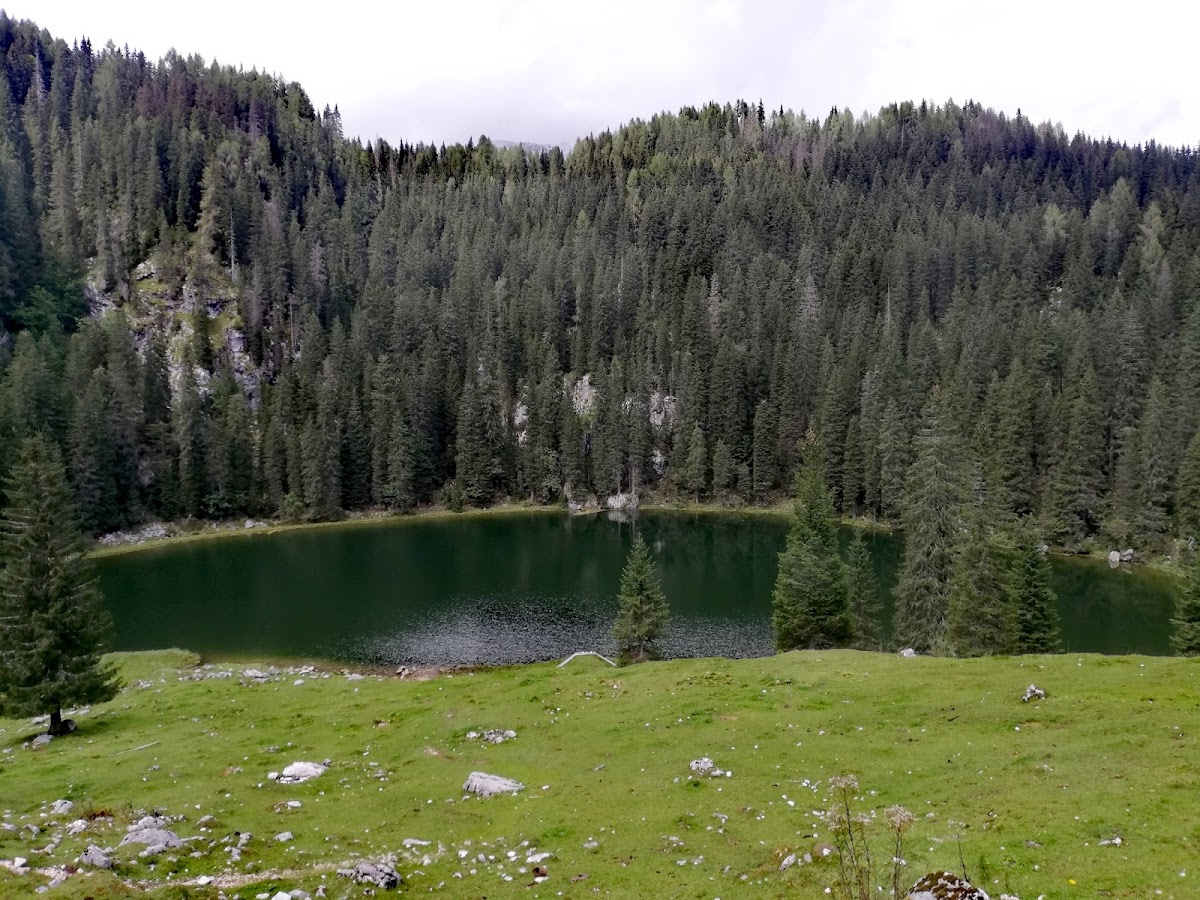
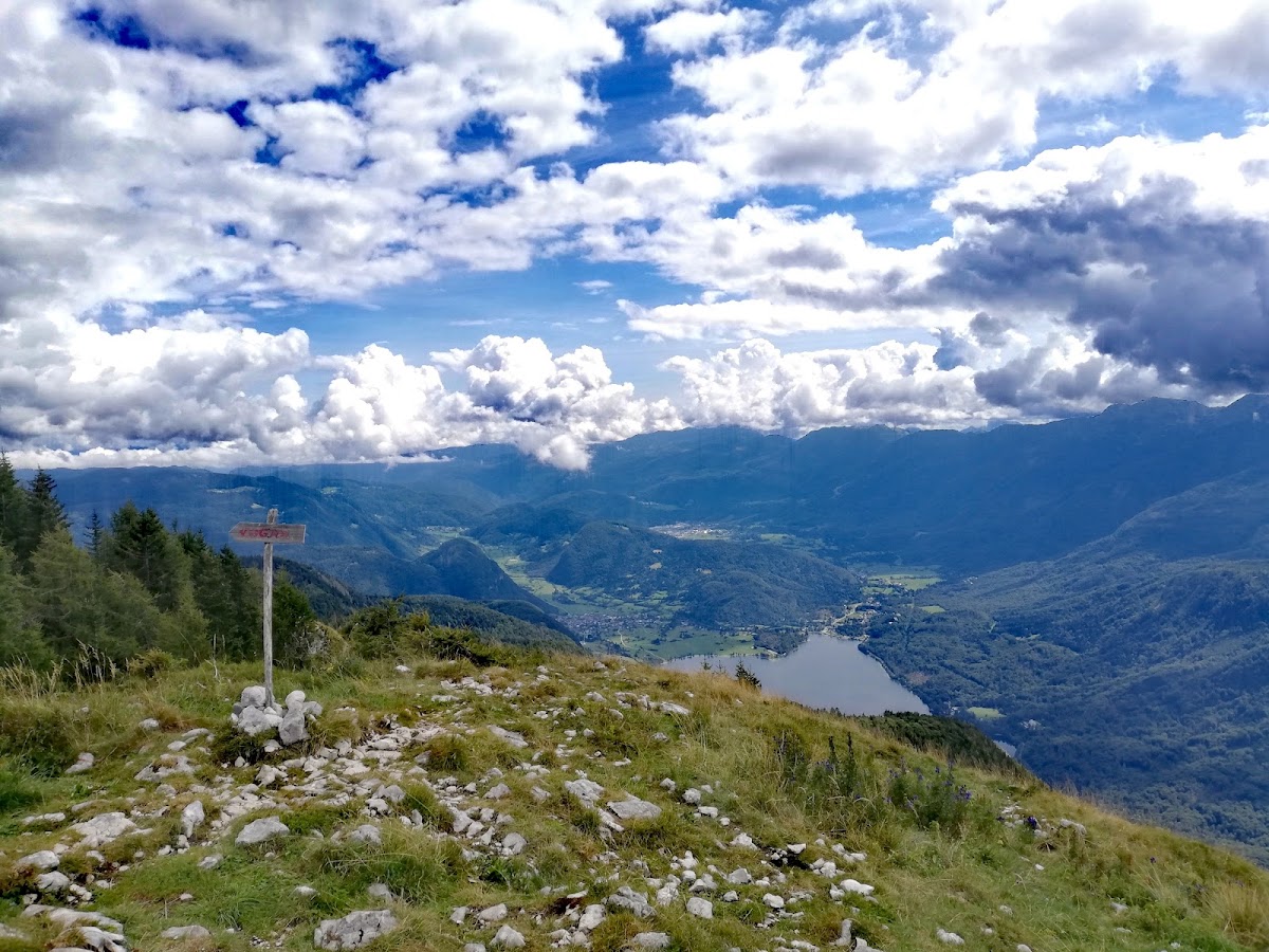
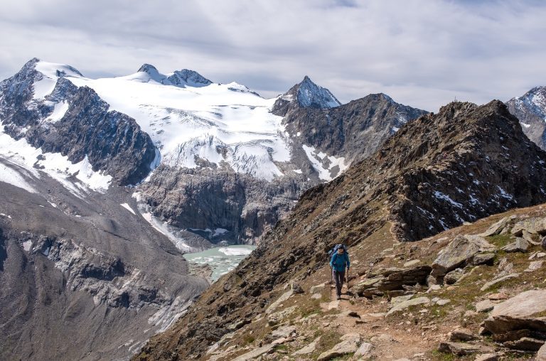
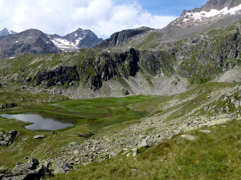
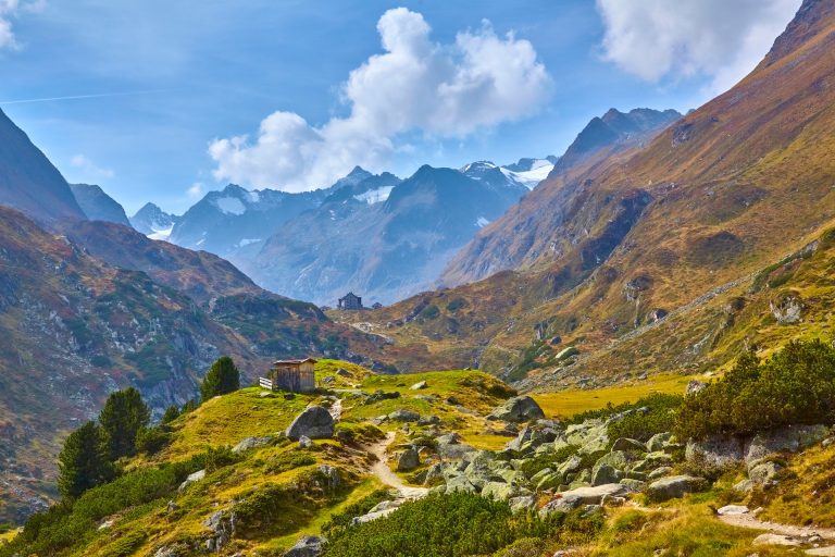
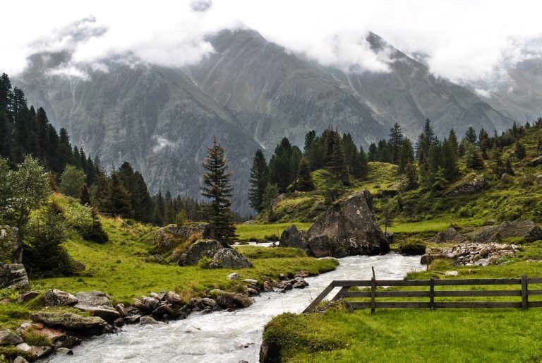
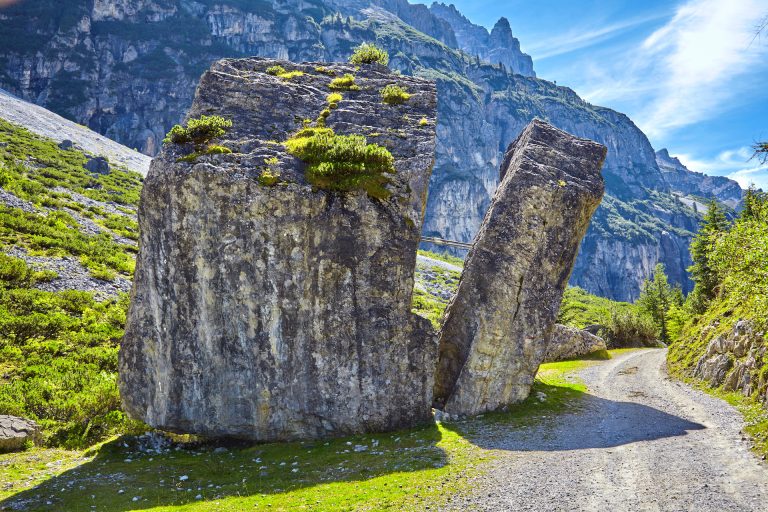
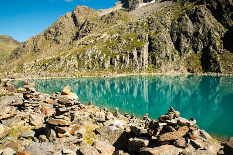
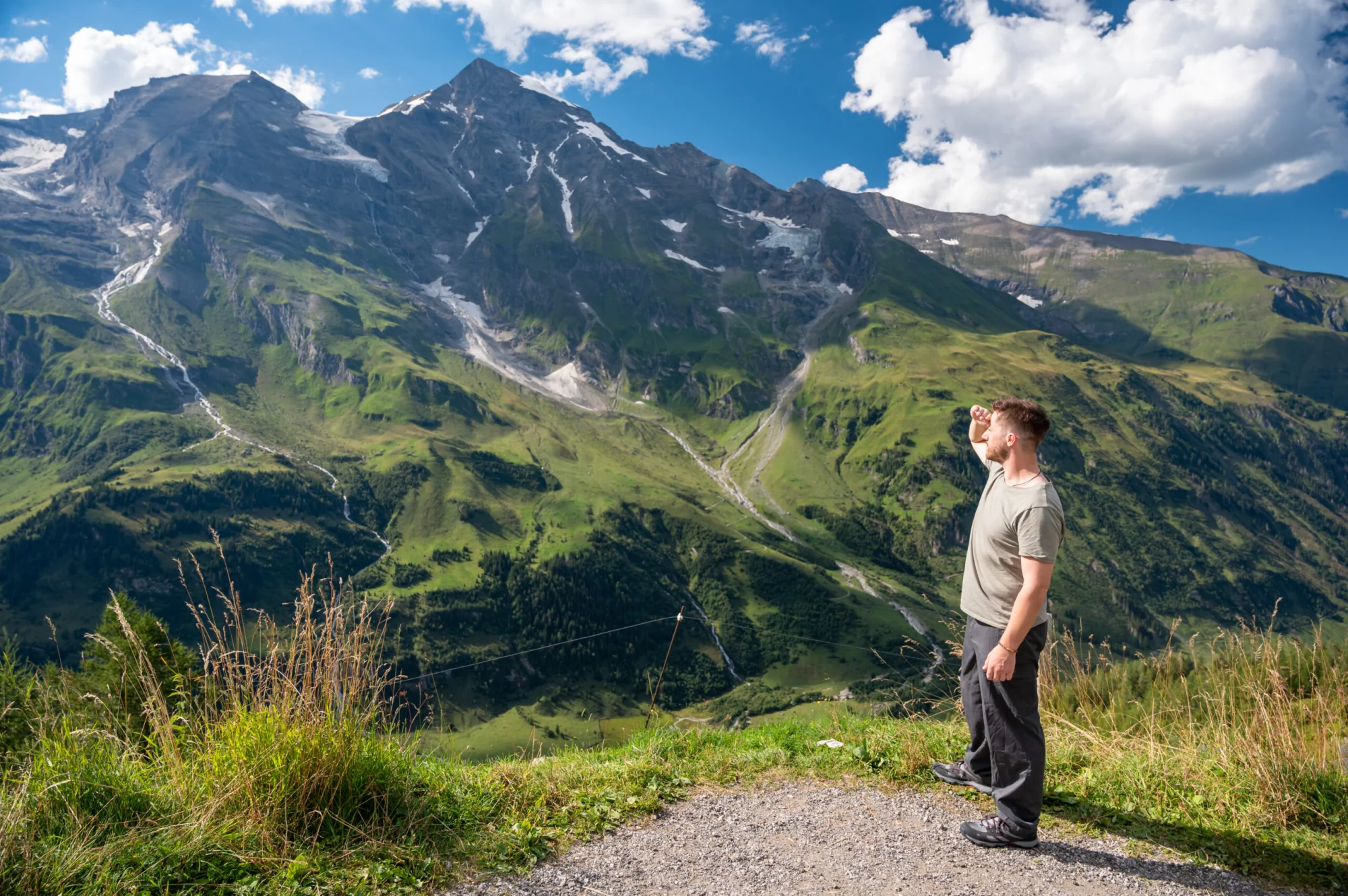
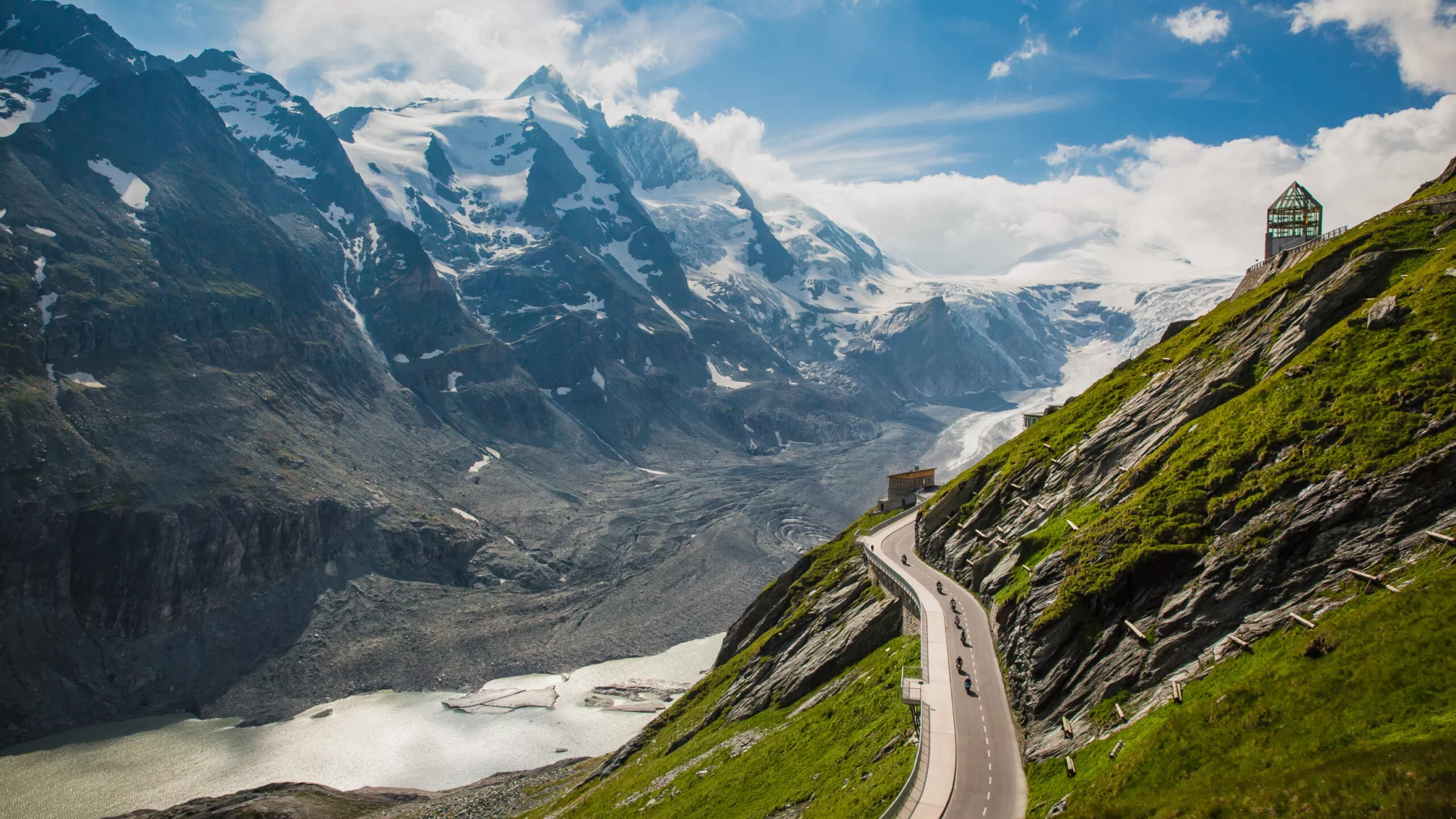
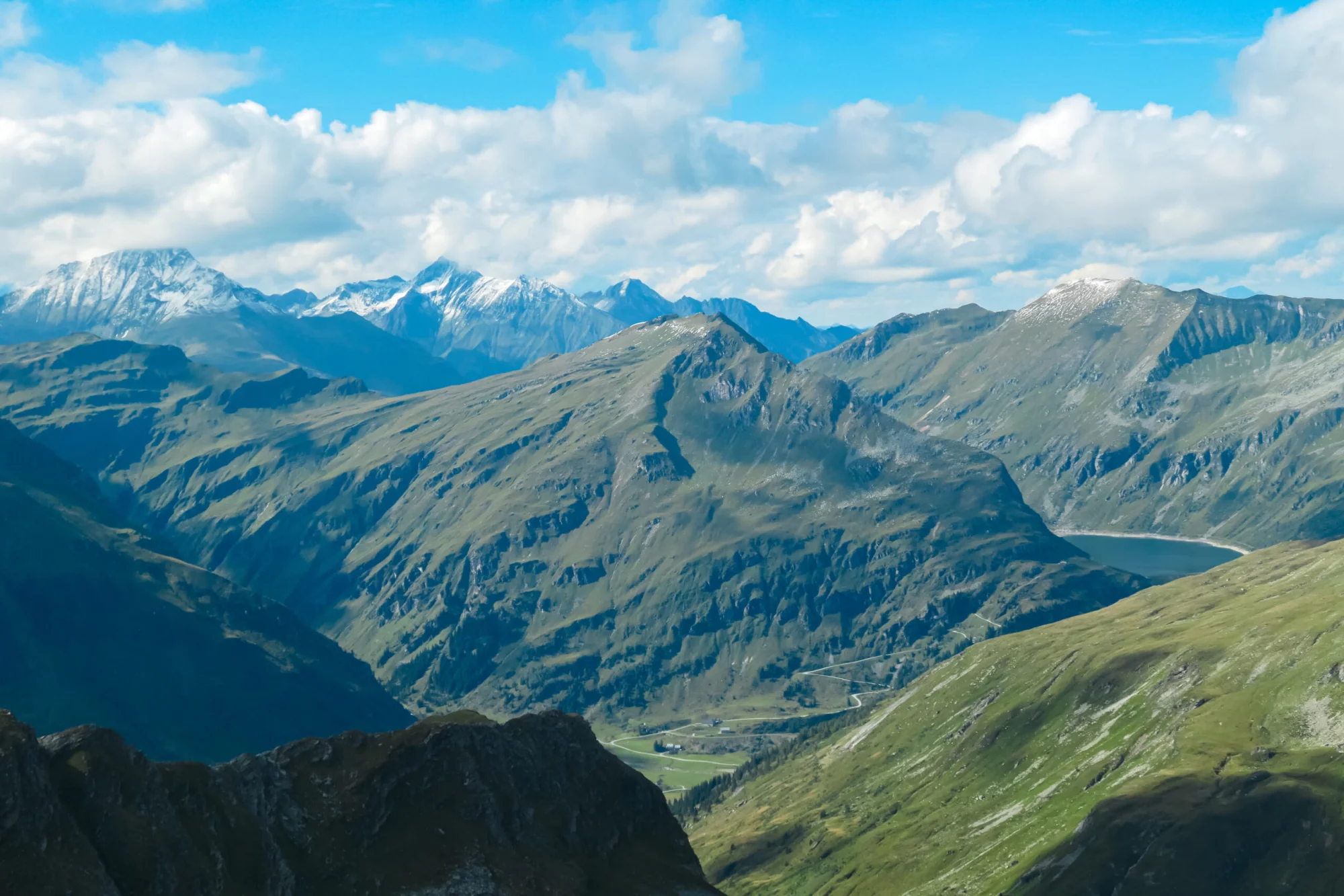
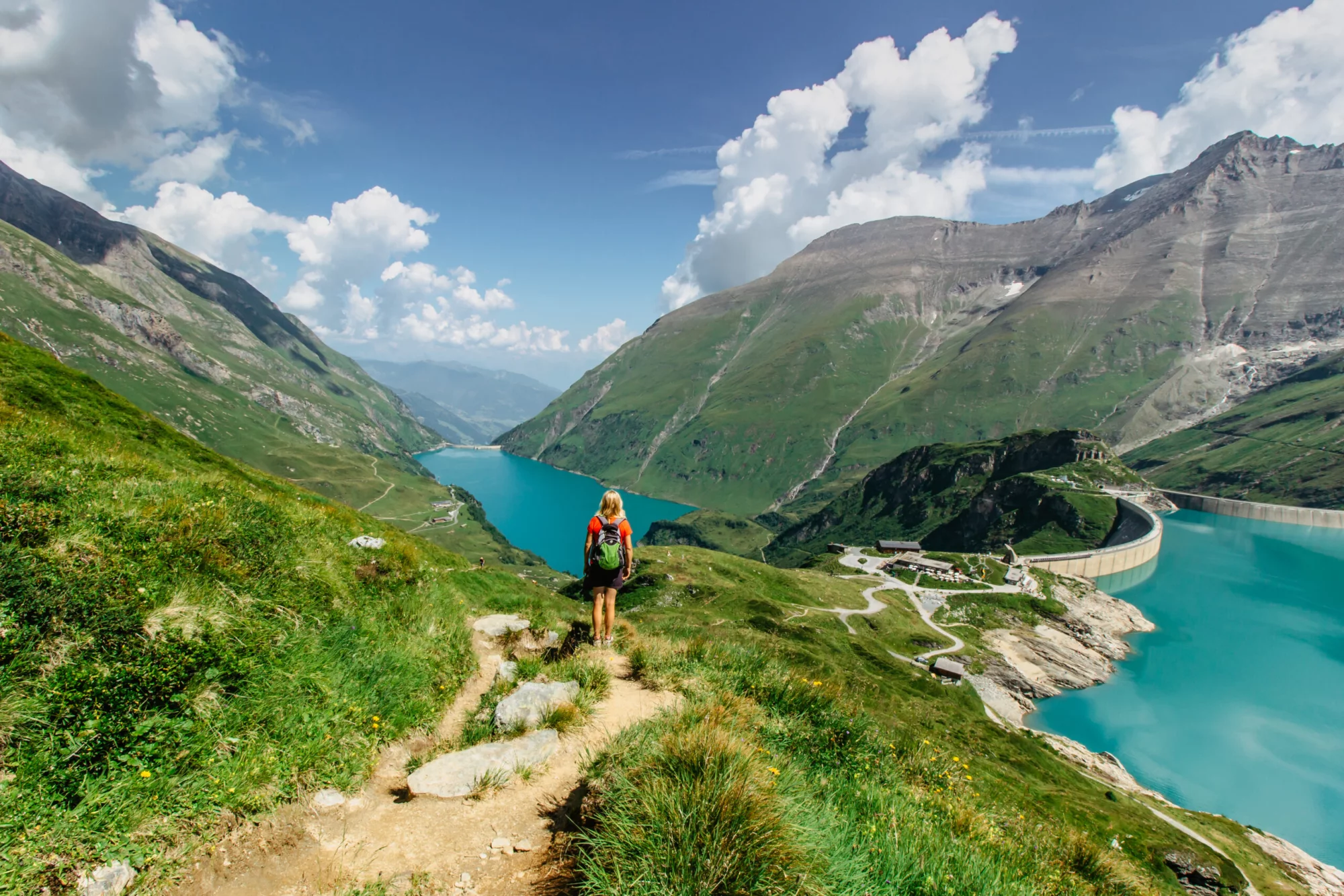
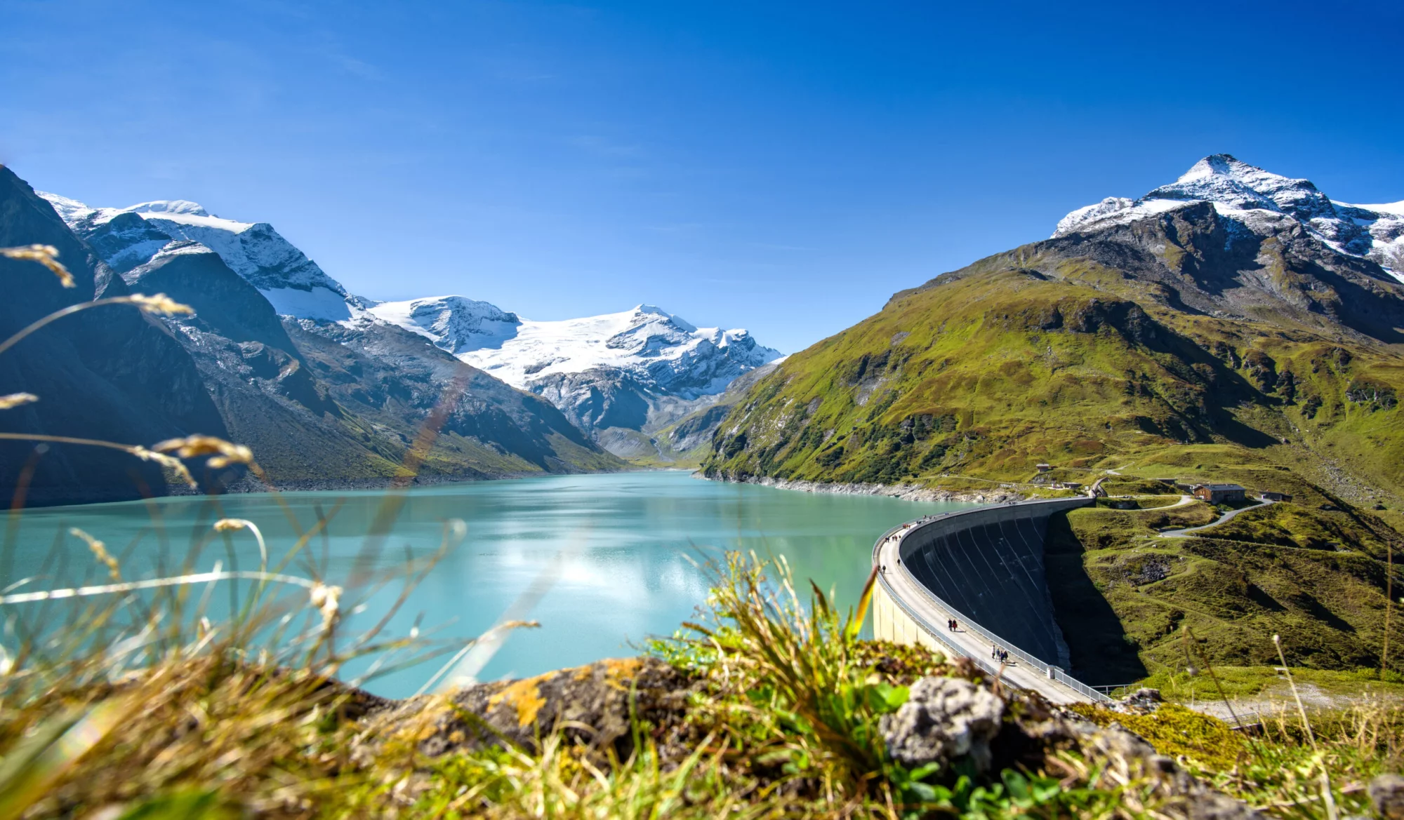
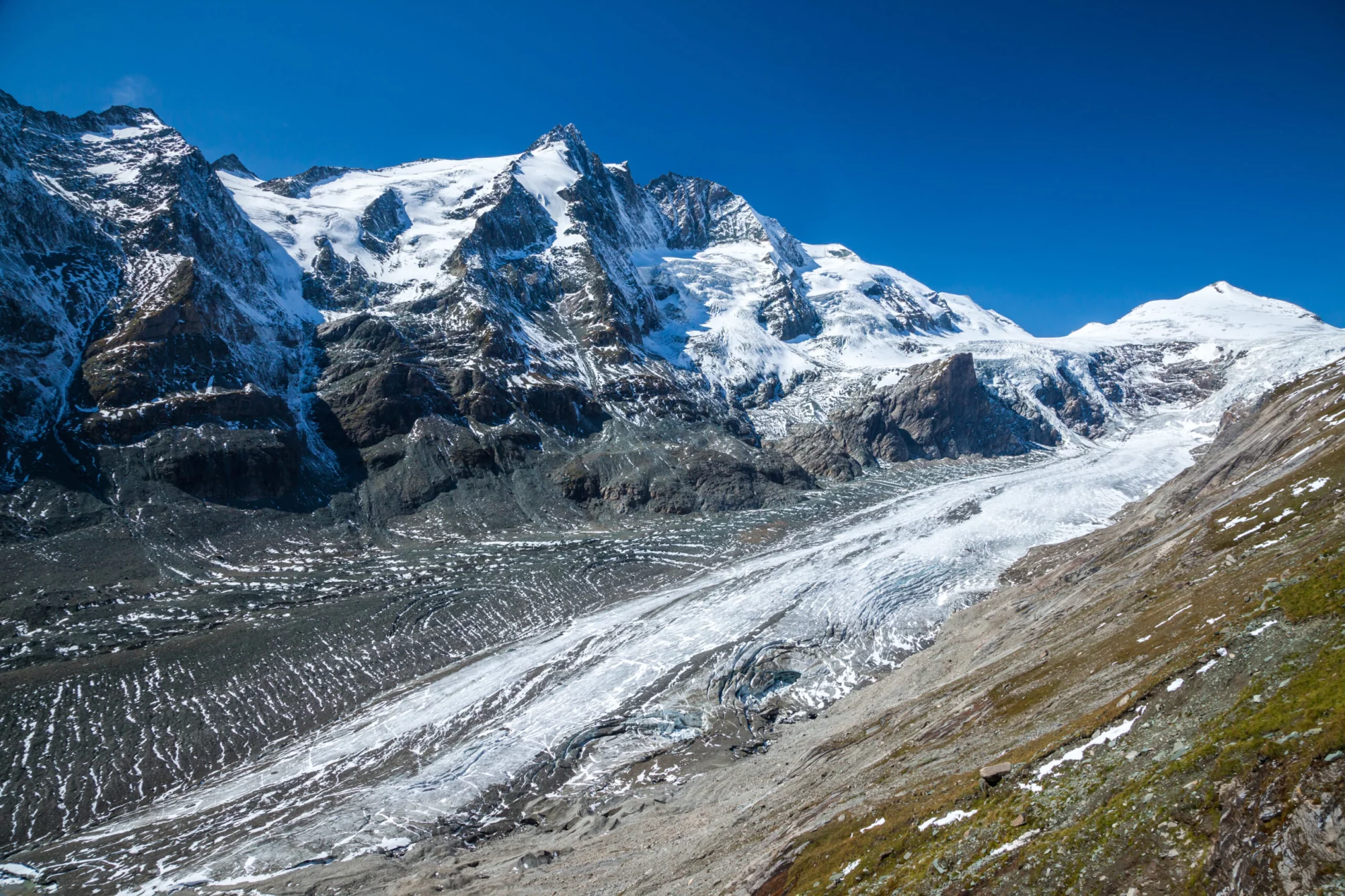
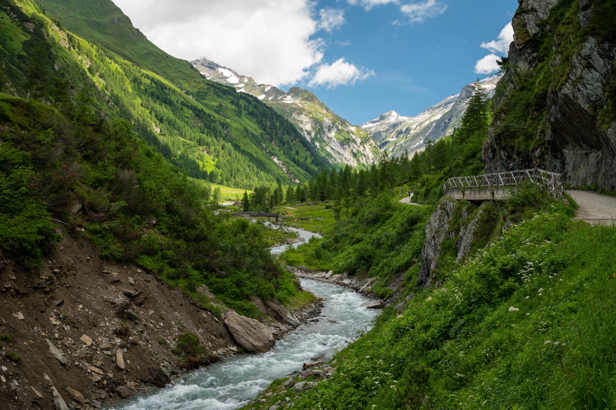
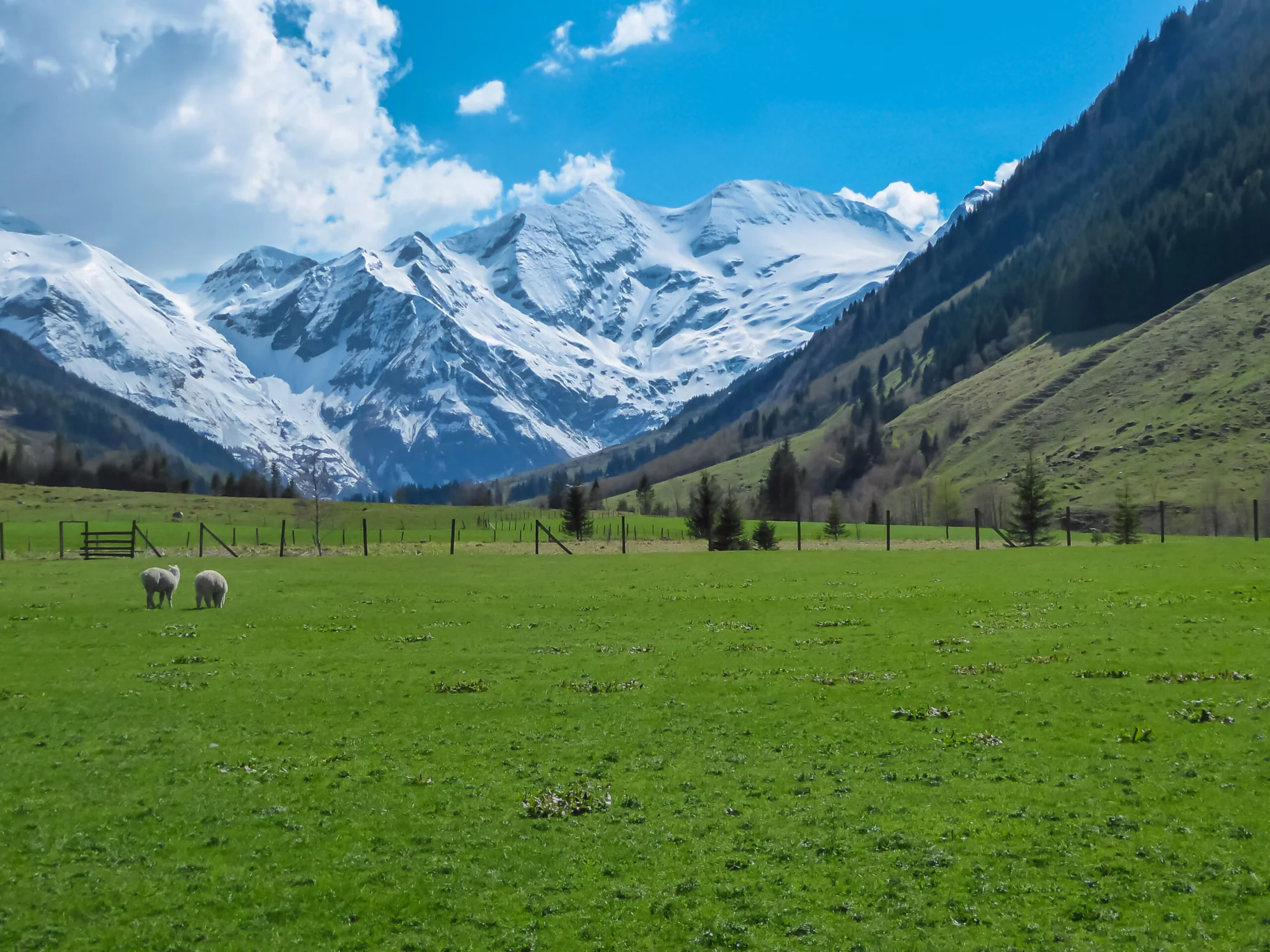
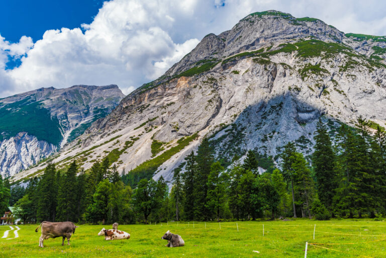
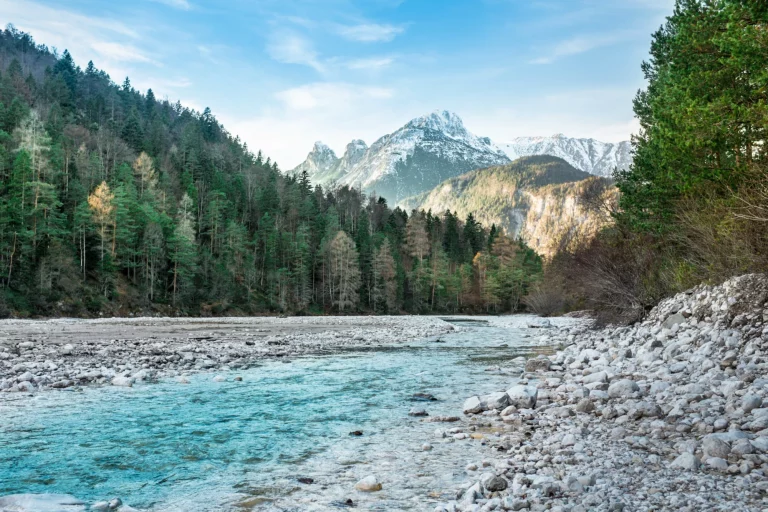
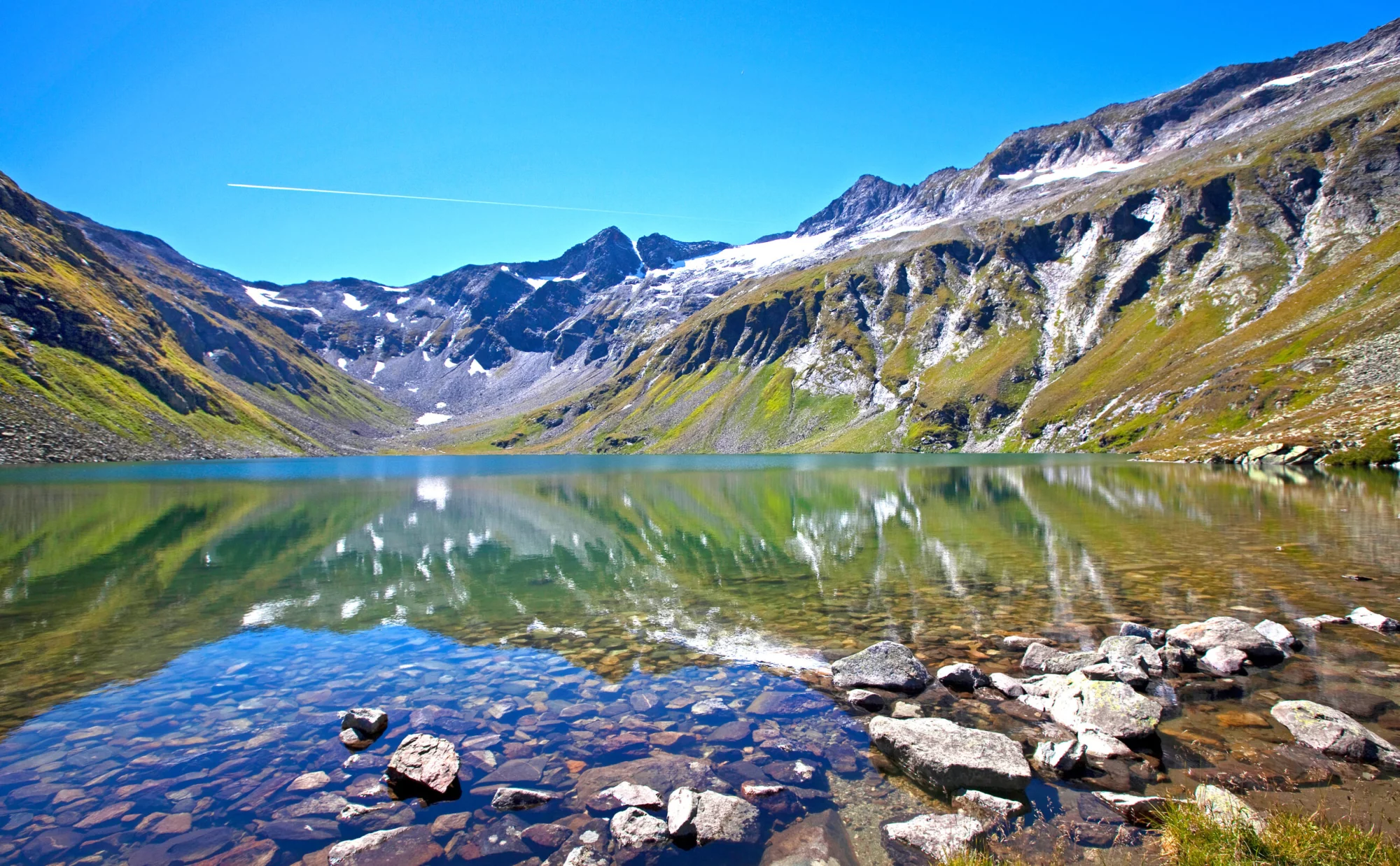
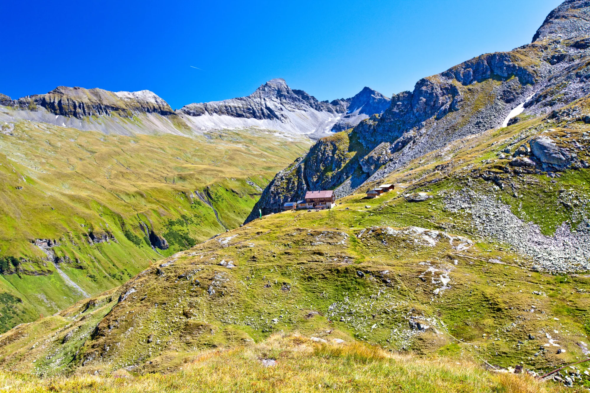
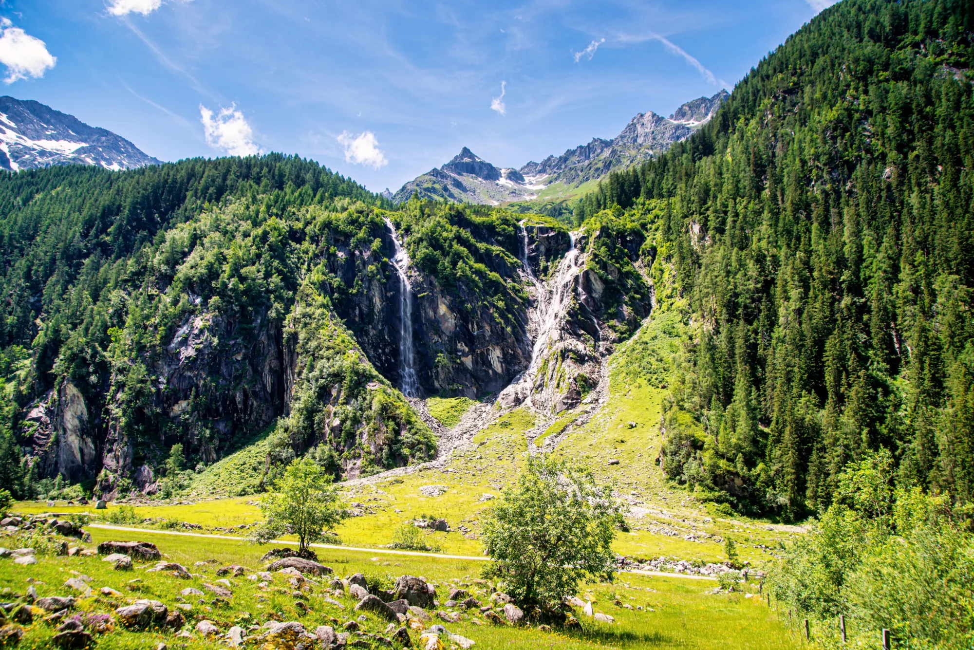
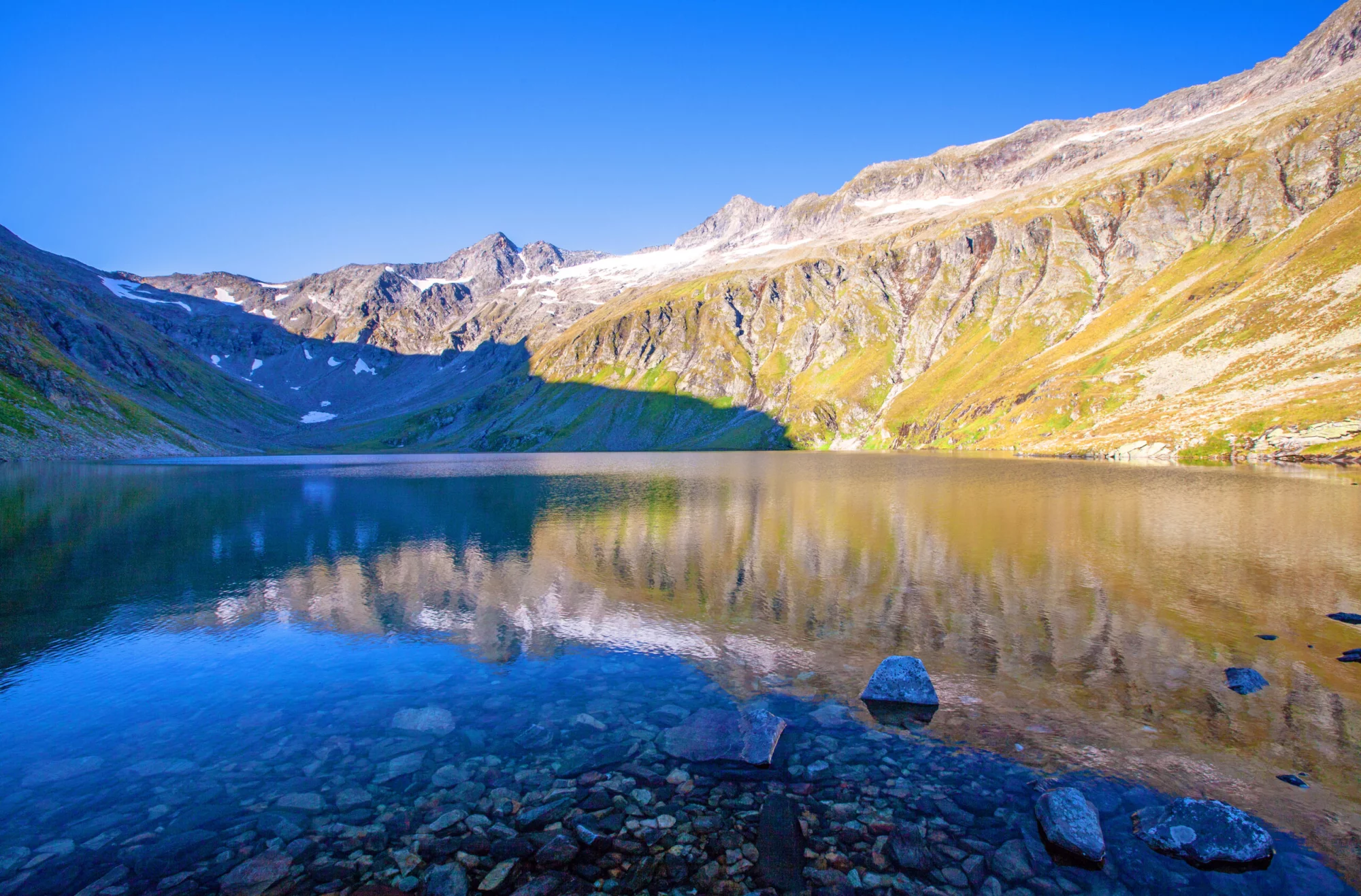
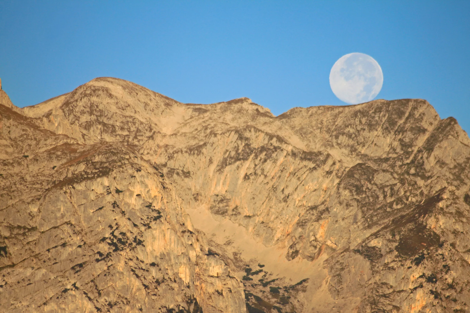
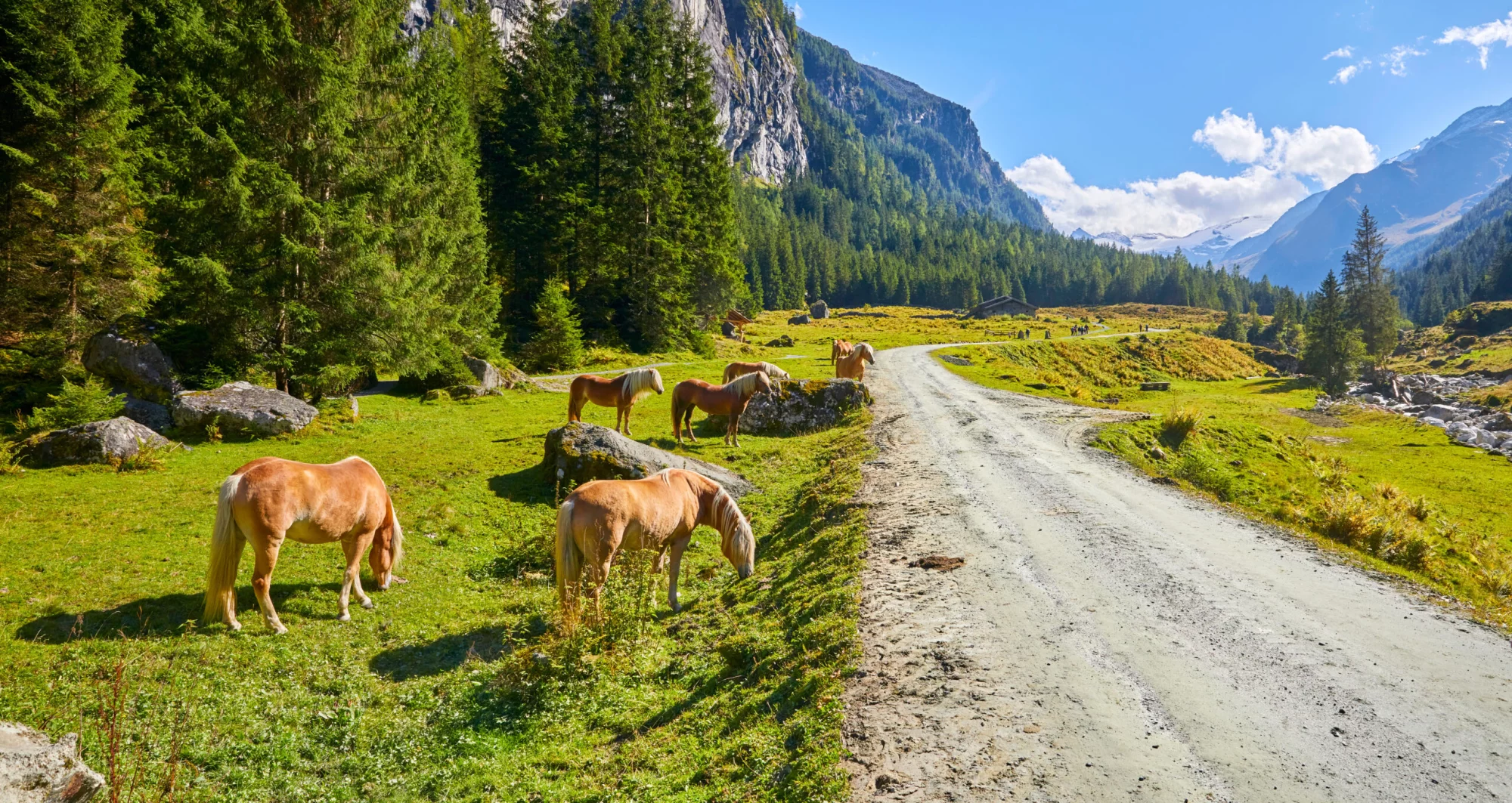
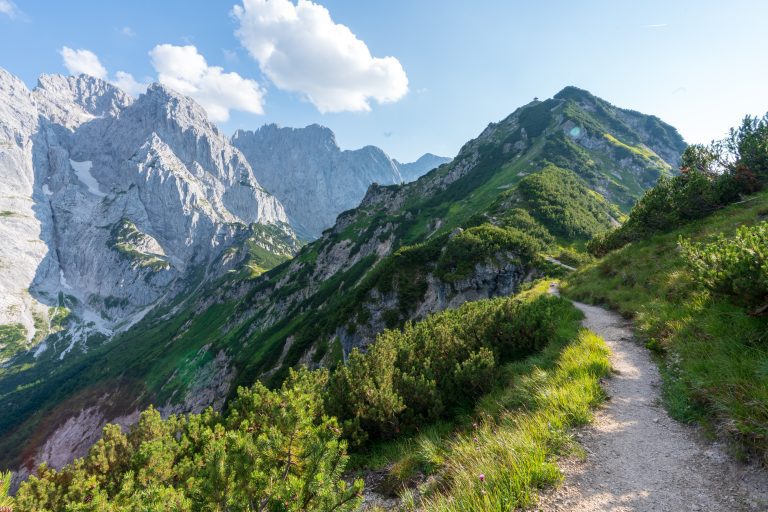
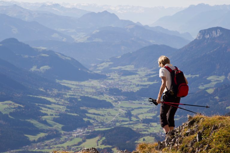
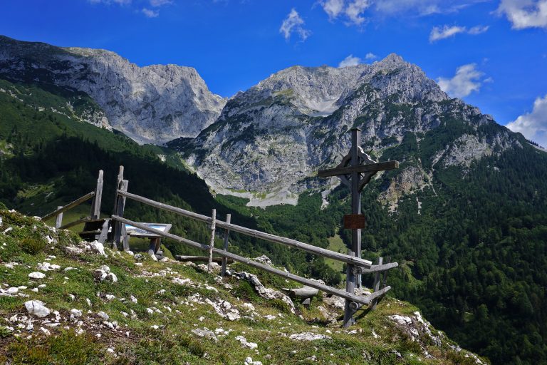
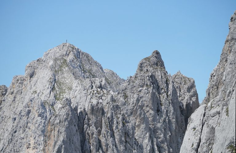
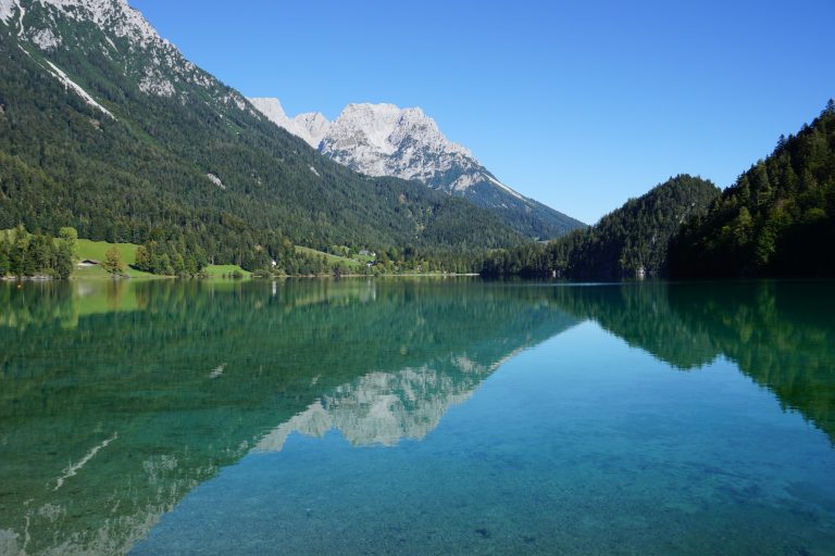
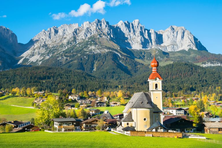
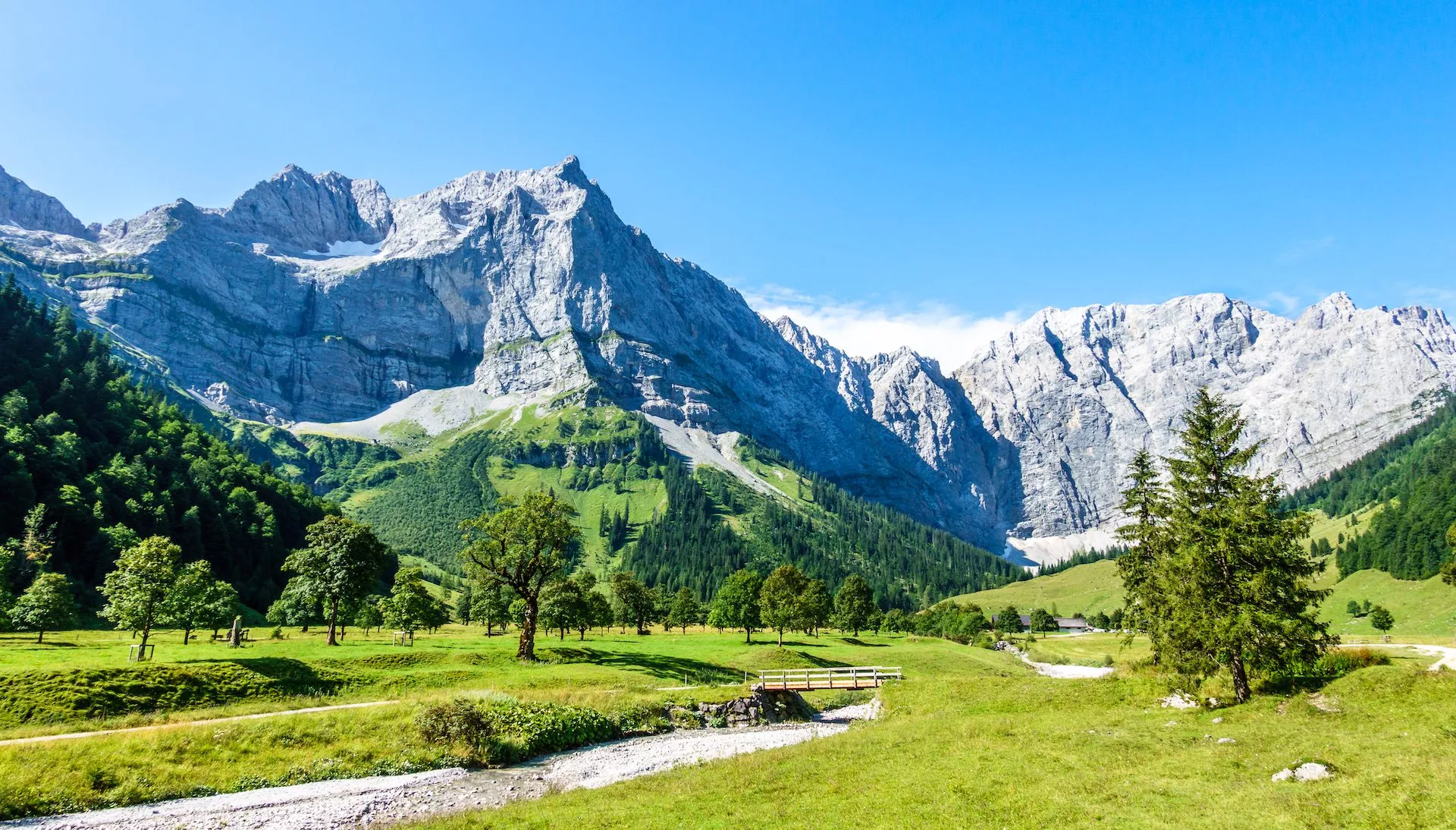
Delight in the magnificent views of the surrounding mountain peaks, alpine lakes, and meadows
Itinerary
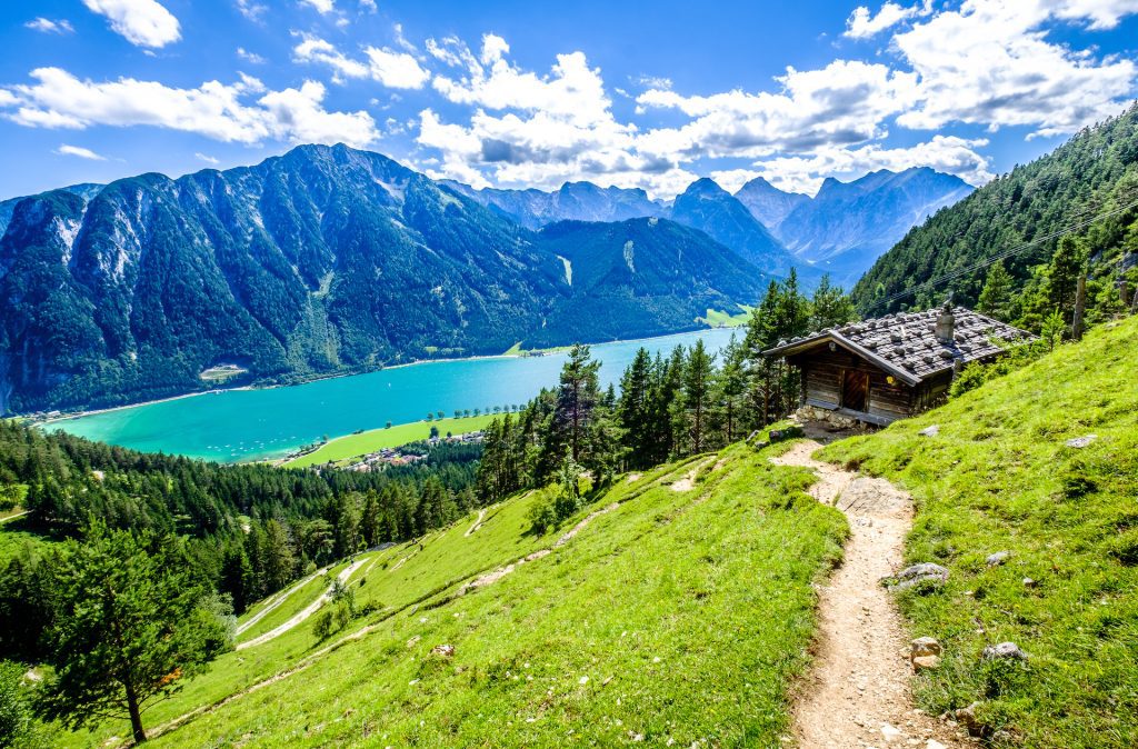
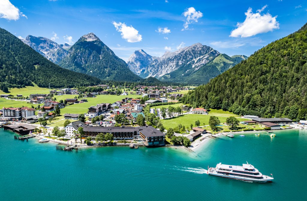
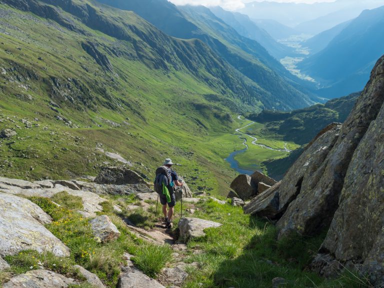
The Adlerweg Highlights tour begins in the small picturesque alpine village of Pertisau on the shore of Achen Lake. You will follow the trail towards the mouth of the Falzthurntal Valley and continue down its length, below the steep slopes of the Falzthurnjoch mountain peak and to the heart of the Karwendel Alps.
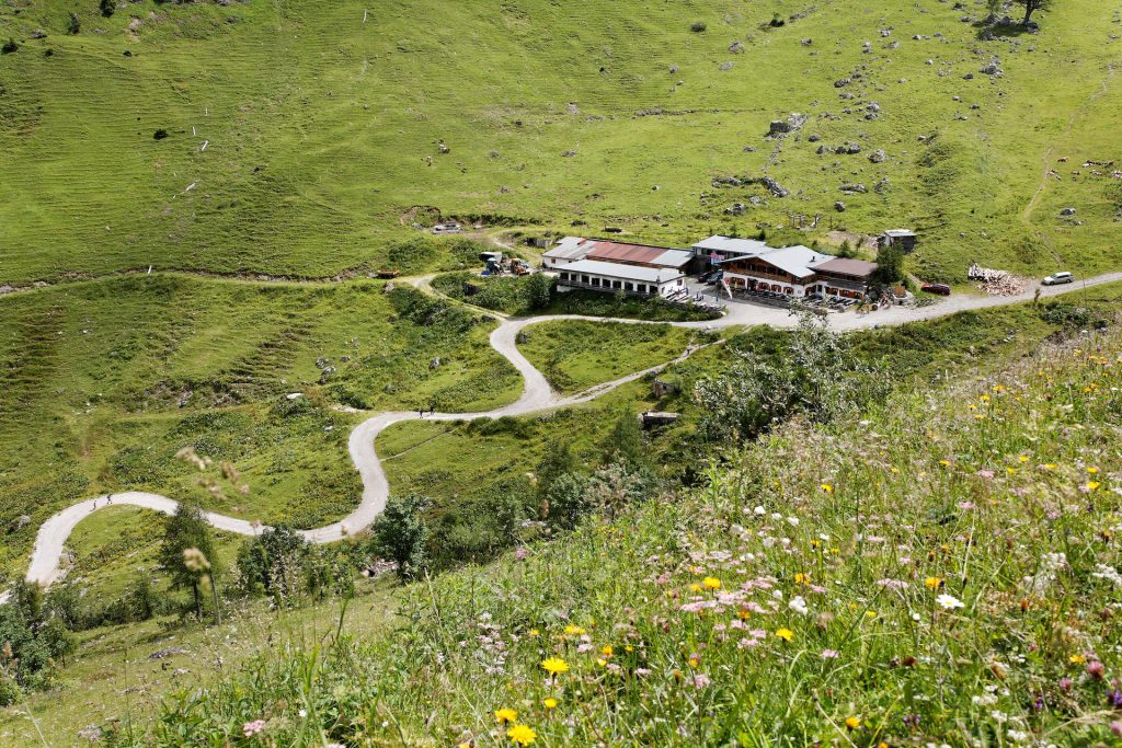
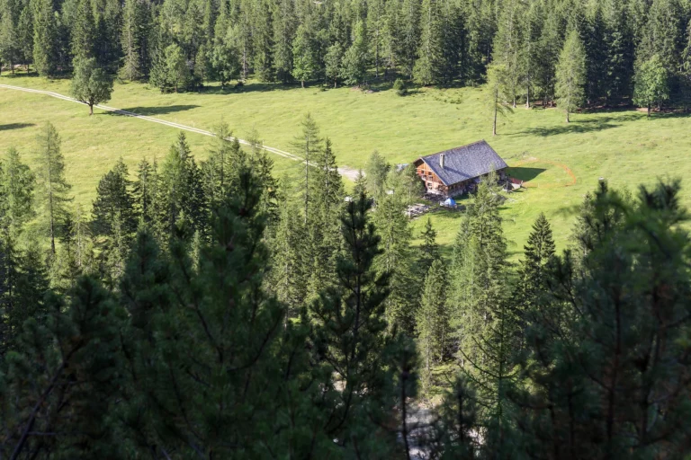
After reaching the Falzthurnalm alpine pasture on a trail sloping gently uphill, you can take a food break at the hut. Then you will continue along the path to the end of the valley and start climbing the steeper slopes towards the Westliches Lamsenjoch ridge, which will be the highest point of today’s hike.
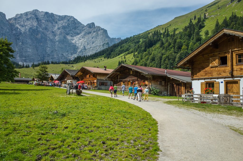
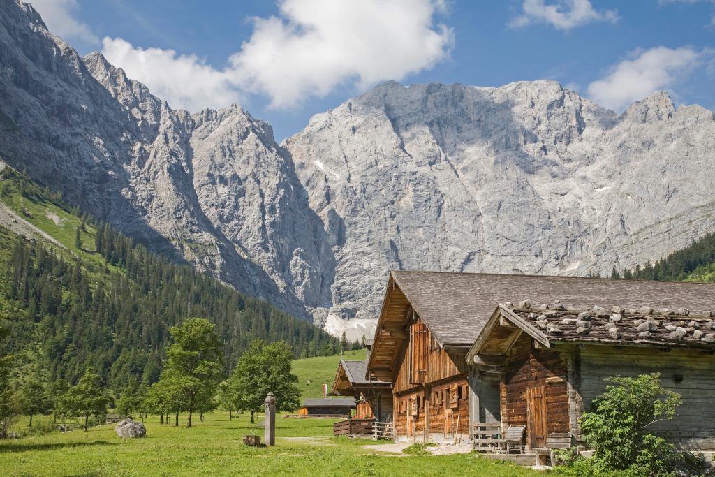
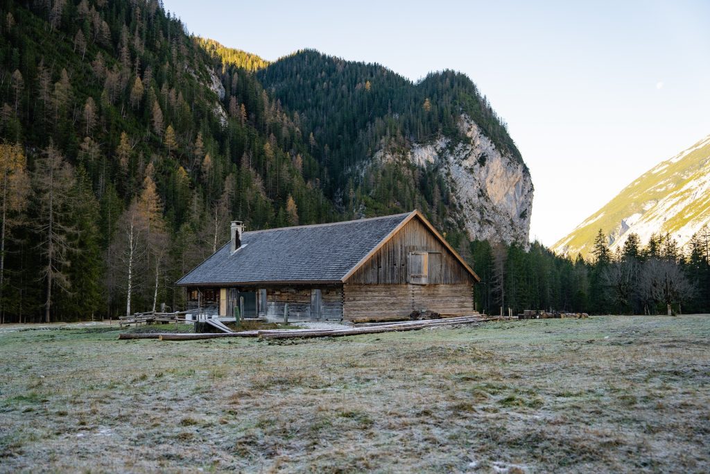
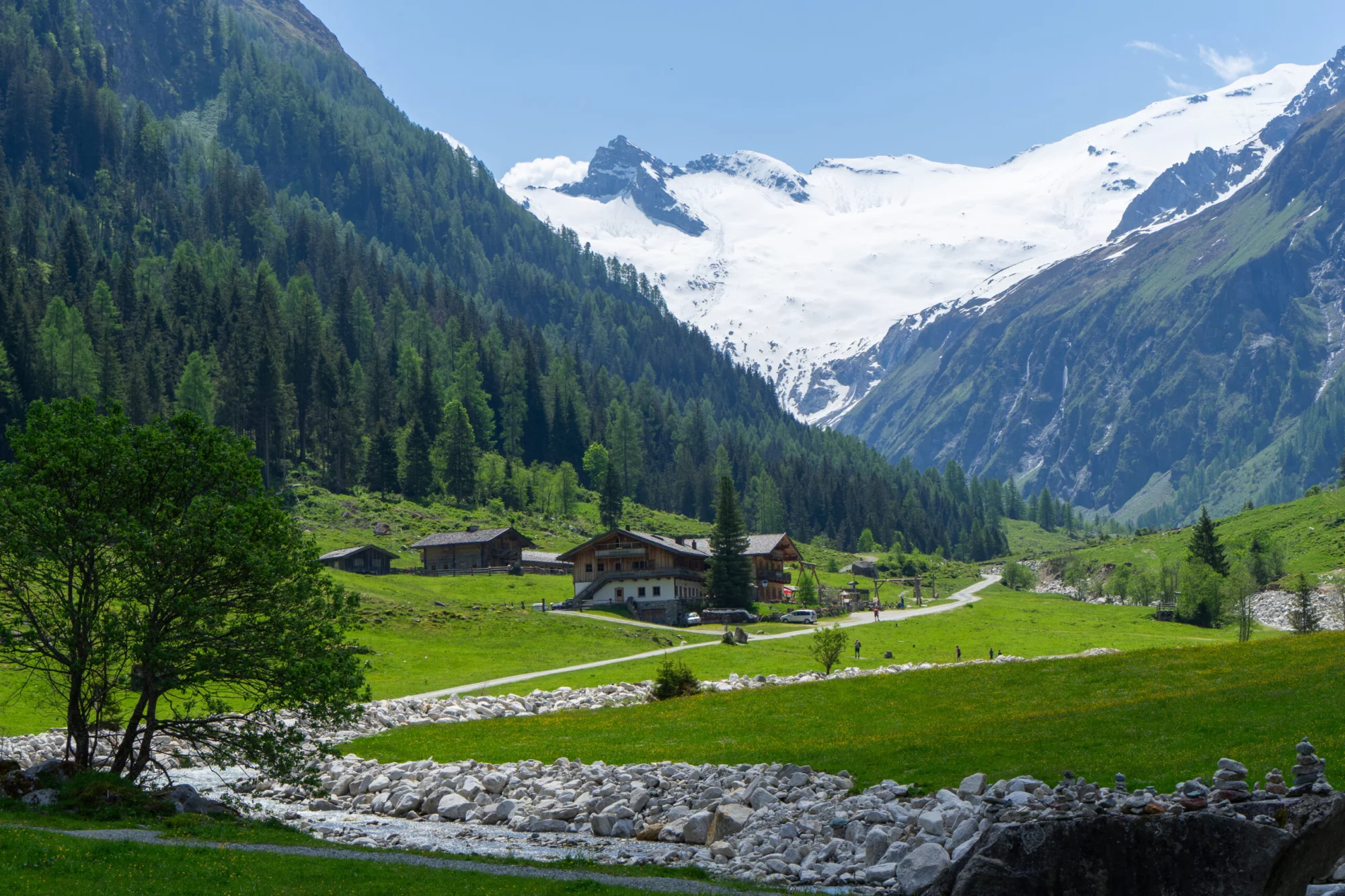
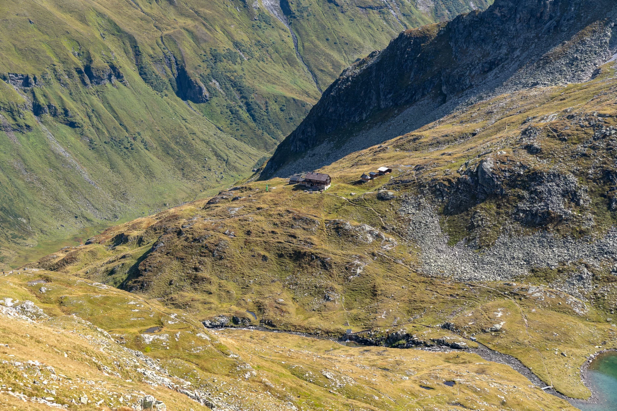
Following that, you will descend past the scenic Binsalm hut, where you can take a break, delight in the views, and prepare for the final kilometers. A relatively wide trail will lead you to the Eng-Alm village, where you can admire its traditional alpine huts and ancient sycamore trees while preparing for a night’s rest.
18 km and 1000 m elevation gain / 750 m elevation loss


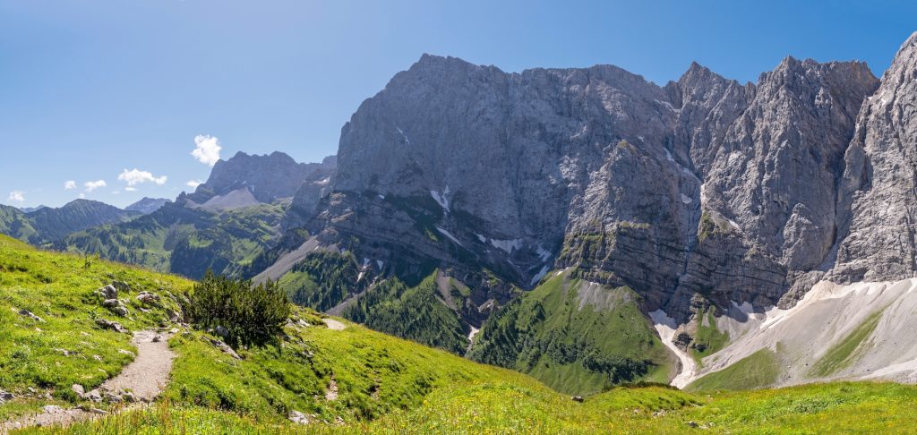
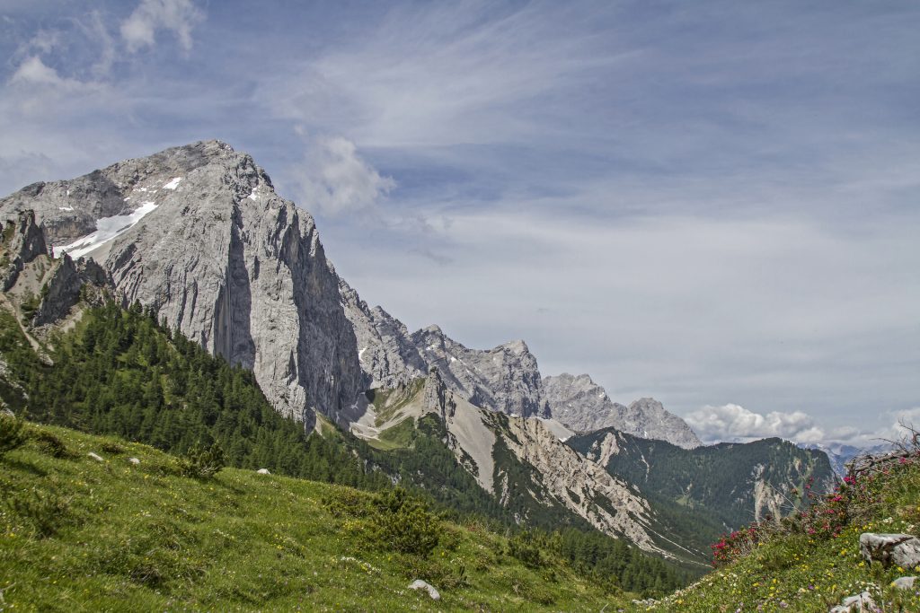
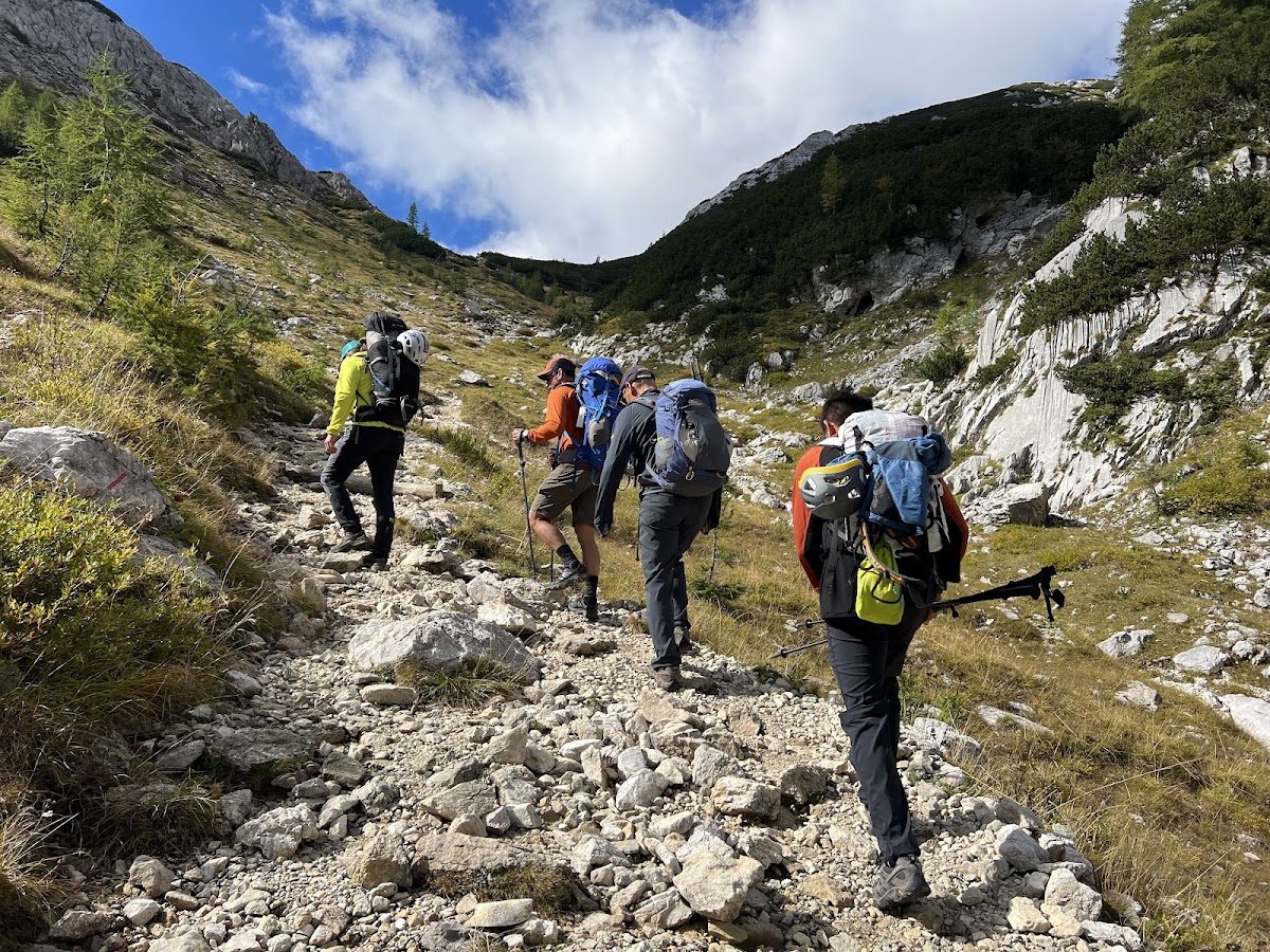
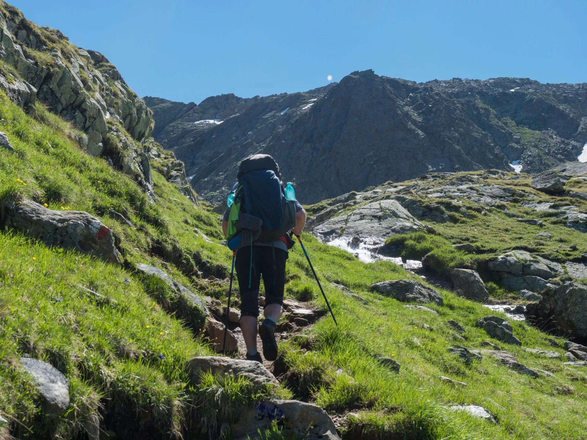
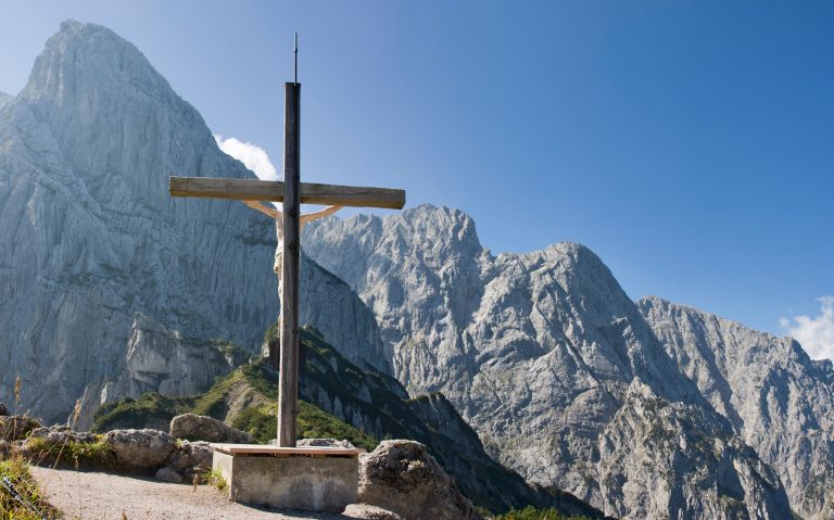
To warm up bit by bit, you will start your morning with a moderate ascent through meadows and forests towards the Hohljoch ridge. Be sure not to crane your neck too much while staring up at the steep rockfaces of Laliderer Wände when passing beneath their shadow. You might even see some climbers up there.
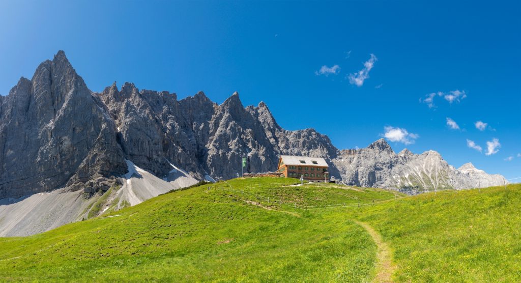
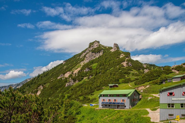
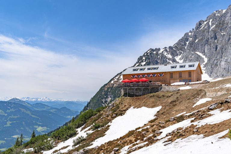
After a slight descent, you will climb the last 150 meters to the Falkenhütte, where you can take a break and fuel your energy reserves. Once you take care of that, you will descend along a forest path and pass several lodges before ascending toward Karwendelhaus.
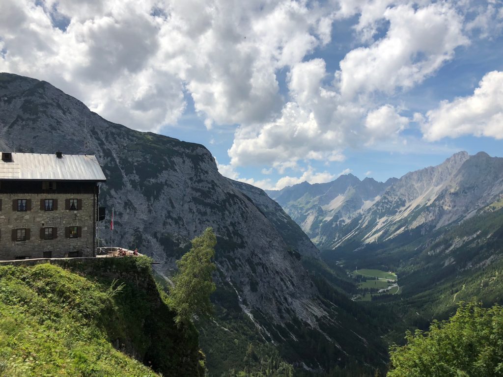
Reaching the Hochalm Saddle will pay off by serving you with astonishing views of Laliderer Wände and Falkenhütte below. After that, it is only a couple of minutes before you reach Karwendelhaus, where you will spend your second night.
17 km and 1250 m elevation gain / 750 m elevation loss


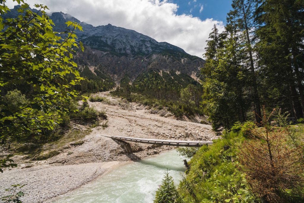
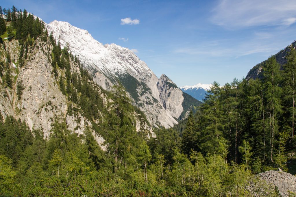
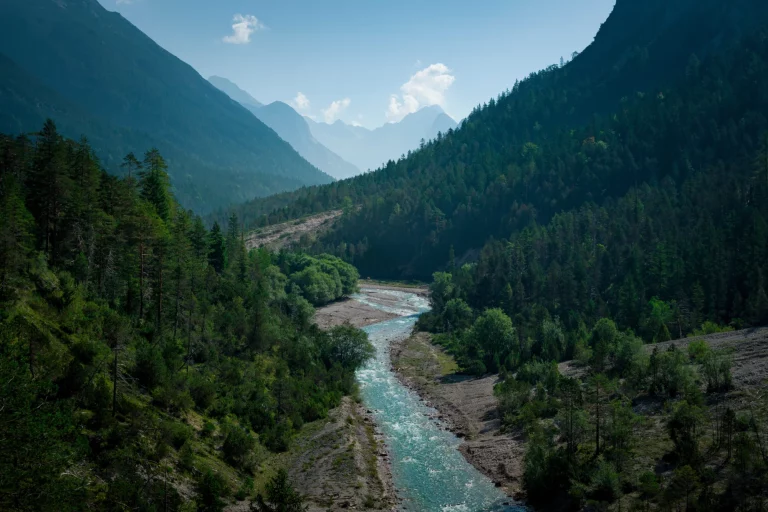
In terms of ascents, this will be the least demanding day on your tour as you follow the descending Karwendel valley towards Scharnitz. You will take the steadily downhill-sloping path through the forests, following the alpine streams and admiring the two-thousanders rising to each side of the valley.
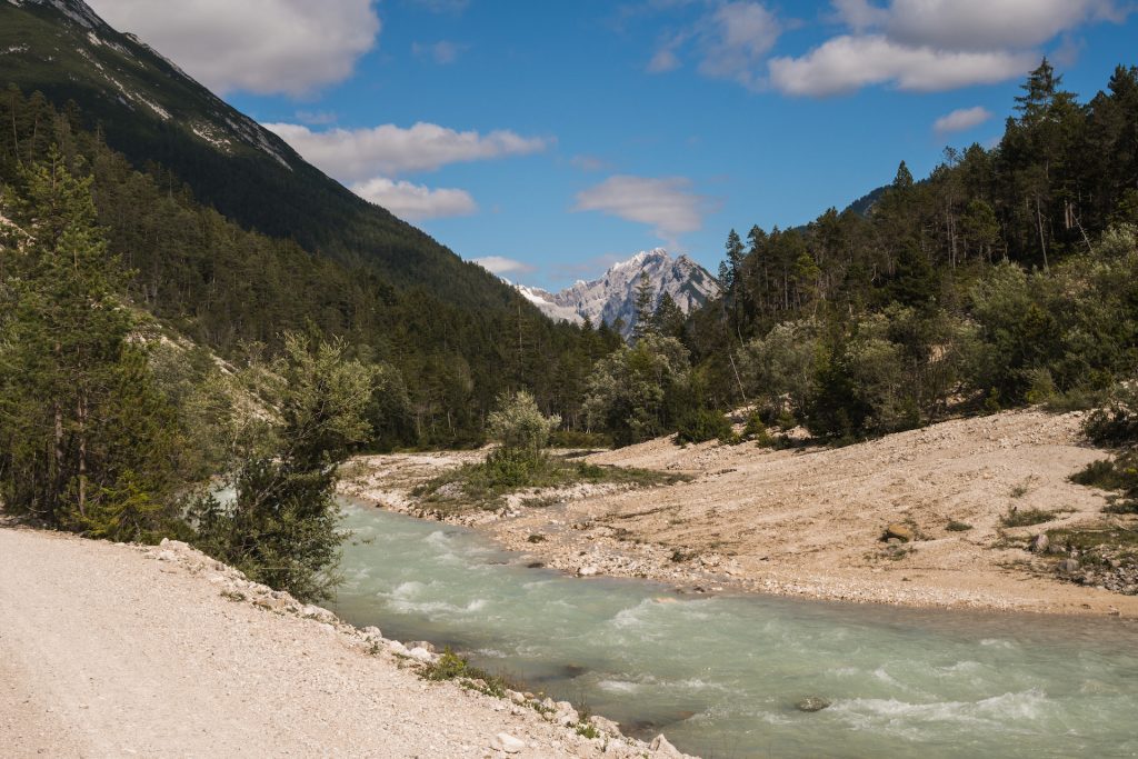
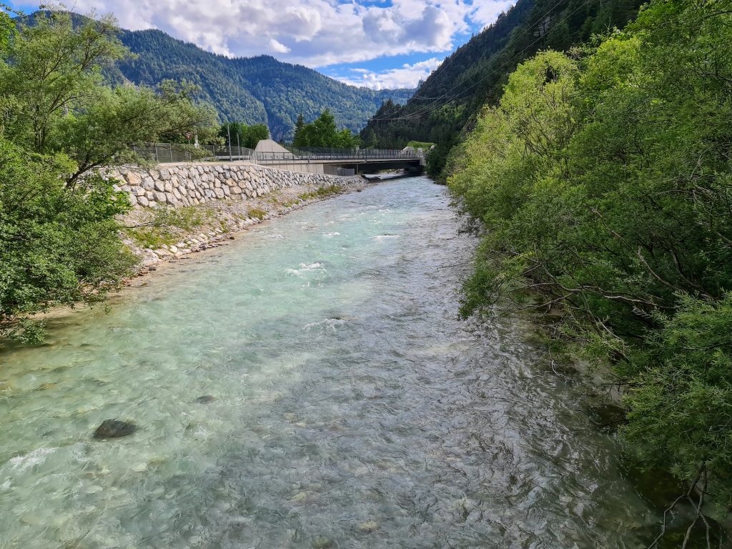
You will not find any mountain huts along the way, so you should have enough snacks and water for a full-day hike. Exiting the valley, you will reach the Isar river and follow it to the colorful town of Scharnitz, where you will find your accommodation for the night.
18 km and 50 m elevation gain / 850 m elevation loss


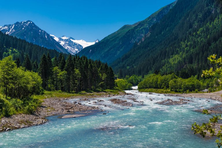
You will commence by following the Isar River through the Hinterautal Valley along the footpath of the Karwendel hut-to-hut trail after some flat kilometers from Scharnitz.
After passing the point where three mountain streams converge to form the mighty Isar River, you will soon reach the Kastenalm hut. You will not get a better chance to rest and grab a bite before the final stretch of today’s stage.
The path gets more vertical here, as you will have to beat nearly 600 meters of elevation before getting to the Hallerangerhaus. You will go to sleep with a magical view of the towering mountain peaks surrounding the hut.
18 km and 900 m elevation gain / 100 m elevation loss


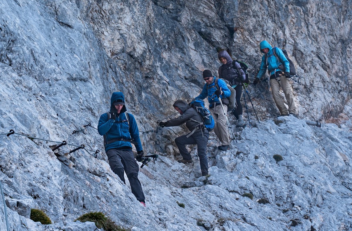
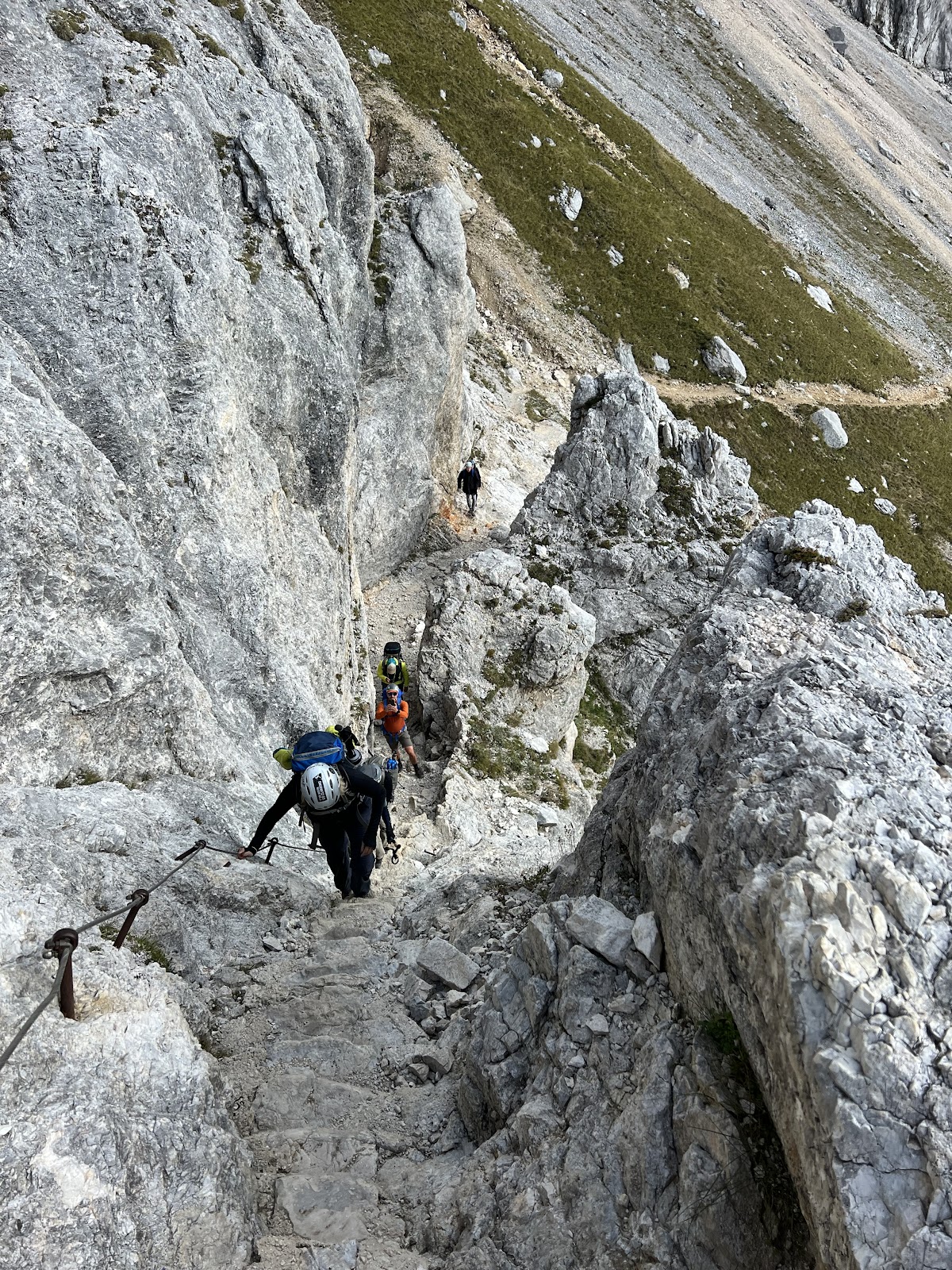
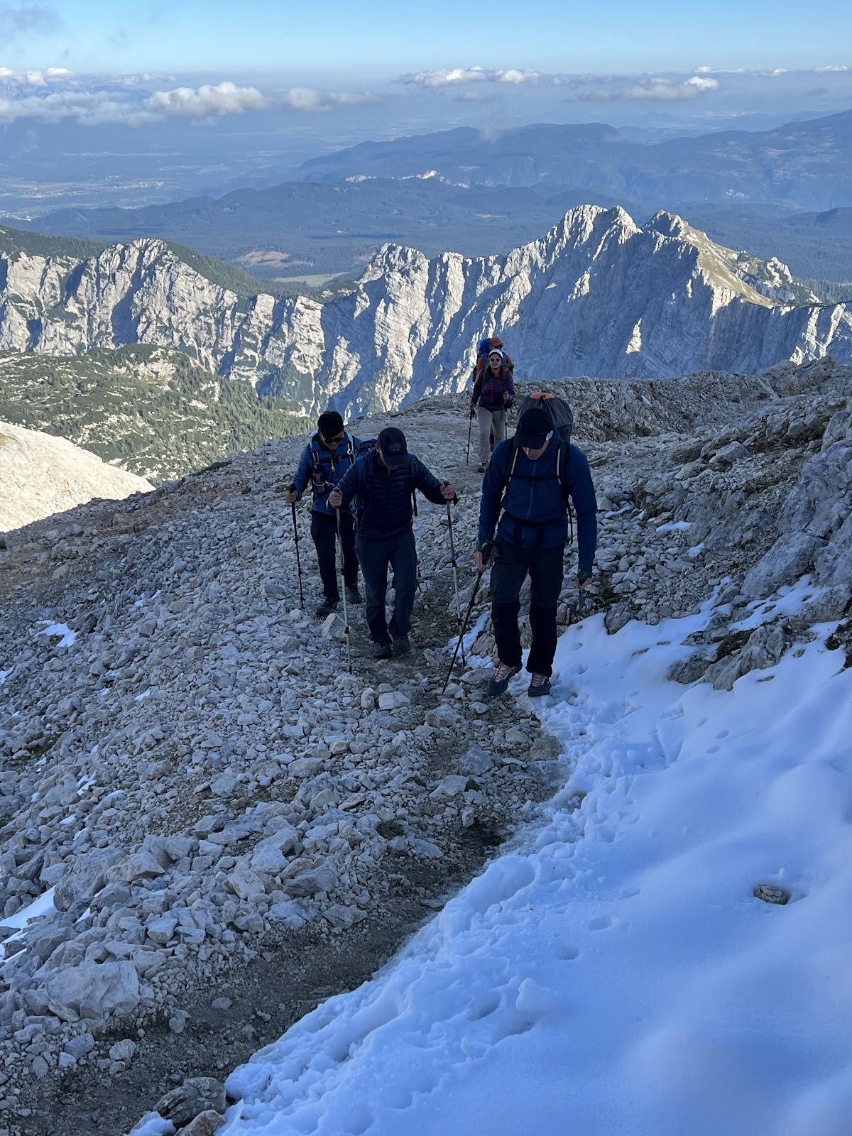
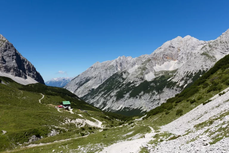
The final day begins with your last climb of the whole tour towards the Lafatscher Joch mountain pass. As you hike away from the hut, the path will get narrower and steeper until you are following an old mule track carved into the rock years ago.
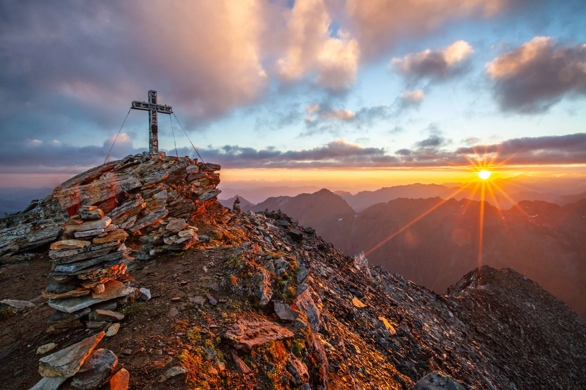
Reaching the highest point of the tour at 2080 meters of elevation will offer some stunning views. You might even see as far as Großglockner. Afterward, the only thing left is a long descent through the Isstal and Halltal valleys until you reach Absam.
13 km and 375 m elevation gain / 1360 elevation loss


Pricing
Included in price
3 nights in huts with dinner and breakfast
1 night in a 3* hotel with breakfast
Digital guidebook with itinerary, route instructions, and practical information
GPS navigation with an easy-to-use app
Tour design and organization
Service and support during your hike
Tourist tax
Optional Extras
What to bring to the tour
Description
With its 413 kilometers and total elevation gain of 31,000 meters, Adlerweg (The Eagle Walk) is a lifelong project for most hikers. Most people will never find the necessary time to hike the whole route, so we prepared a shorter version, taking you across the trail’s most scenic stages through the Karwendel Alps.
You need only spend five days on the Adlerweg to feel as if you hiked the whole route. From the picturesque alpine villages to the authentic mountain huts, towering peaks, and mountain passes, your stroll through the heart of Tyrol will gain you a lifetime of unforgettable memories.
80 kilometers and 4500 meters of elevation gain over 5 days is still a worthy challenge that not everybody can undertake. You will hike more kilometers per day than a usual hiker on the Adlerweg. But the fulfillment and satisfaction you will feel when you reach your final destination are indescribable. And if you feel like turning this into a weekend getaway, you can also shorten the stages and go on a 3-day hike instead.
Along the way, you will experience how peaceful it feels to spend a night in the heart of the Alps, sleeping in two high-altitude lodges and an enchanting alpine village. The local cuisine will enthuse you just as much, if not more.
Planning a multi-day hut-to-hut hike can be tiresome, especially in a foreign country. Consequently, we want to make it as uncomplicated as possible for you. We will book all your accommodations in advance, provide you with a detailed written guide with an itinerary, and equip you with a precise GPS track of the planned route.
Dust off your backpack and start preparing for the ultimate experience of your life hiking the Adlerweg!
Map
Start planning today!
Things to know
The hiking season usually lasts from mid-June to late September. It depends on the snow conditions in the higher sections of the Alps, as lots of hiking routes go over high mountain passes. You should check the current situation if you are visiting in early summer, especially for Stubai High Trail, as large parts of the route run above 2000 meters of elevation.
The huts close their doors once the season ends as well, so you cannot plan any multi-day tours outside this time window.
Read more about the hiking season in Austria here.
We’ve rated our tours on a difficulty scale from 1 to 5 — with 1 being the easiest and 5 the most difficult.
The difficulty level of a tour tells you how fit you need to be and how much hiking is involved. Most of our tours are appropriate for people who are regularly active and can hike for about five to seven hours per day.
Technical difficulty means how skilled you need to be to hike on the path. Level 1 means the trail is smooth and wide (like a gravel road), while 5 means the surface is uneven and exposed, and you have to use your hands to help yourself move forward. In practice, that means that the higher the level, the more surefooted and skilled in scrambling you need to be.
You should book your tour as soon as possible, as many accommodations along the trail fill up quickly. That way, you can ensure that you have a place to stay.
In case of an injury, it is best to call the local emergency services. You might find yourself in the wilderness, unable to continue without worsening your situation.
Do not worry too much, though. You will be hiking along popular trails, so you will not get stranded even if something happens.
On the other hand, if you feel too tired to continue hiking, you can always stop in any of the towns and villages along the way and use public transport to get to where you want to be in Austria.
Most huts along our hut-to-hut hikes are equipped with showers, but they might be a matter of whether there has been any rainfall lately. Do not expect too much, as mountain huts are not luxurious hotels.
Read more about the mountain huts here.
No. The huts provide blankets and pillows for comfort. However, you should bring your sleeping liner so they will not have to wash their bed linen every day.
Cell reception is unreliable in the mountains. If you can see a town, you will likely have a reception. The same goes for mountain huts. If you cannot get it inside, try stepping outside. Wifi is available only at select lodges; most do not have it.
If you dress appropriately, most stages can be done even in light rain. However, if a storm is forecasted, do not hike. In that case, you should wait until the storm passes, even if that means spending a day at the hut.
If you’d like to eat a vegetarian meal, it’s usually available at most accommodations. Vegan options are harder to find in huts, but we’ll let you know about them in advance so you can plan accordingly.
We do not demand that you have insurance before booking, but it is advisable to do. Joining the Austrian Alpine Club gets you covered in case anything unexpected happens to you on your way.
It is technically less demanding than the Stubai High Trail, as it poses no risky sections with steel cables. Height exposure is minor as well. It is physically relatively challenging, as you will hike more than 15 kilometers daily. Even though the technical challenges are negligible, not everybody can tackle this trek.
Read more about how to prepare for a multi-day hike here.
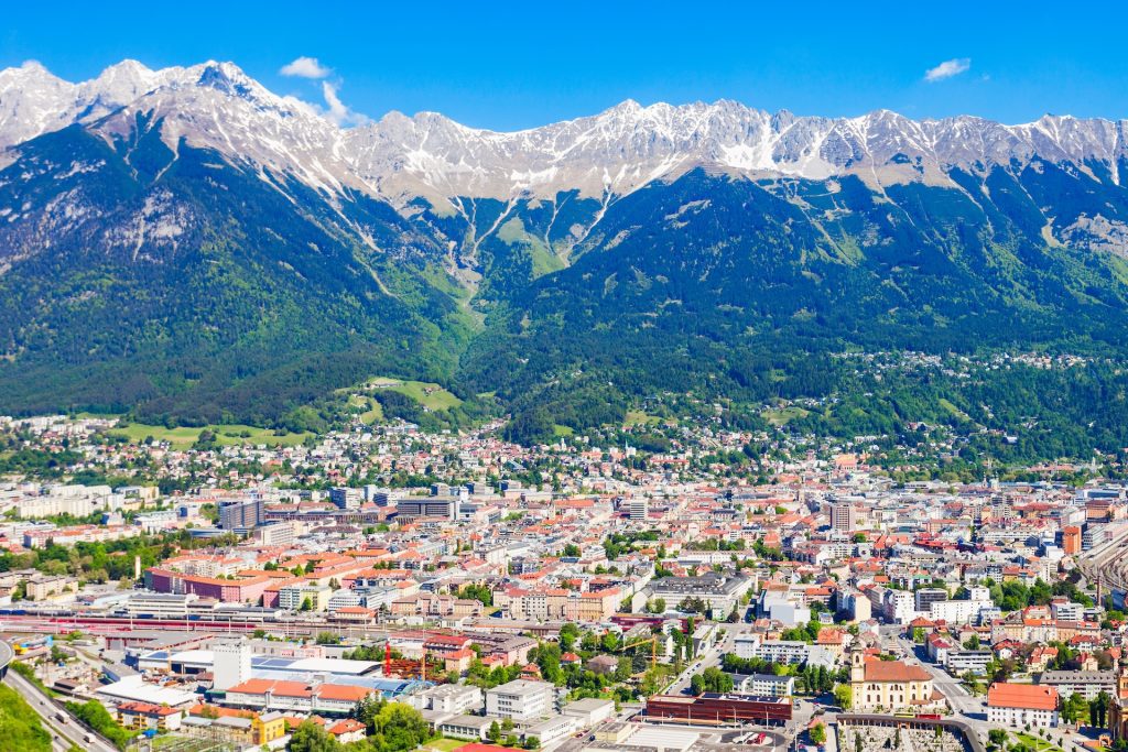
To get to Pertisau beside the Achen Lake, you can land at any of the three closest airports: Innsbruck, Salzburg, or Munich. From all listed, there are great train and bus connections to Pertisau.
Absam is close to Innsbruck, so you should not have trouble finding bus or train connections with the airport or other big Austrian cities.
We can also arrange transfers or car rentals for you. If you rent a car, remember to buy a vignette.
There should not be any problem if they are physically prepared for long hiking days. Sure-footedness is also essential, so we recommend they are at least eight years old.
There are no cable rides or shortcuts you can take, but in case you get too tired, you can finish your trek in Scharnitz and make this a 3-day hut-to-hut hike.
Given you will only be on the trail for five days, we do not offer luggage transfer during your hike. However, we can transfer any additional luggage from Pertisau to Absam, so you can pick it up after you are finished.

Self-guided
Hassle-Free
Book with confidence
Tried & Tested Adventures
Unbeatable support
Similar Austria Hiking Tours


