Adlerweg 3 Days
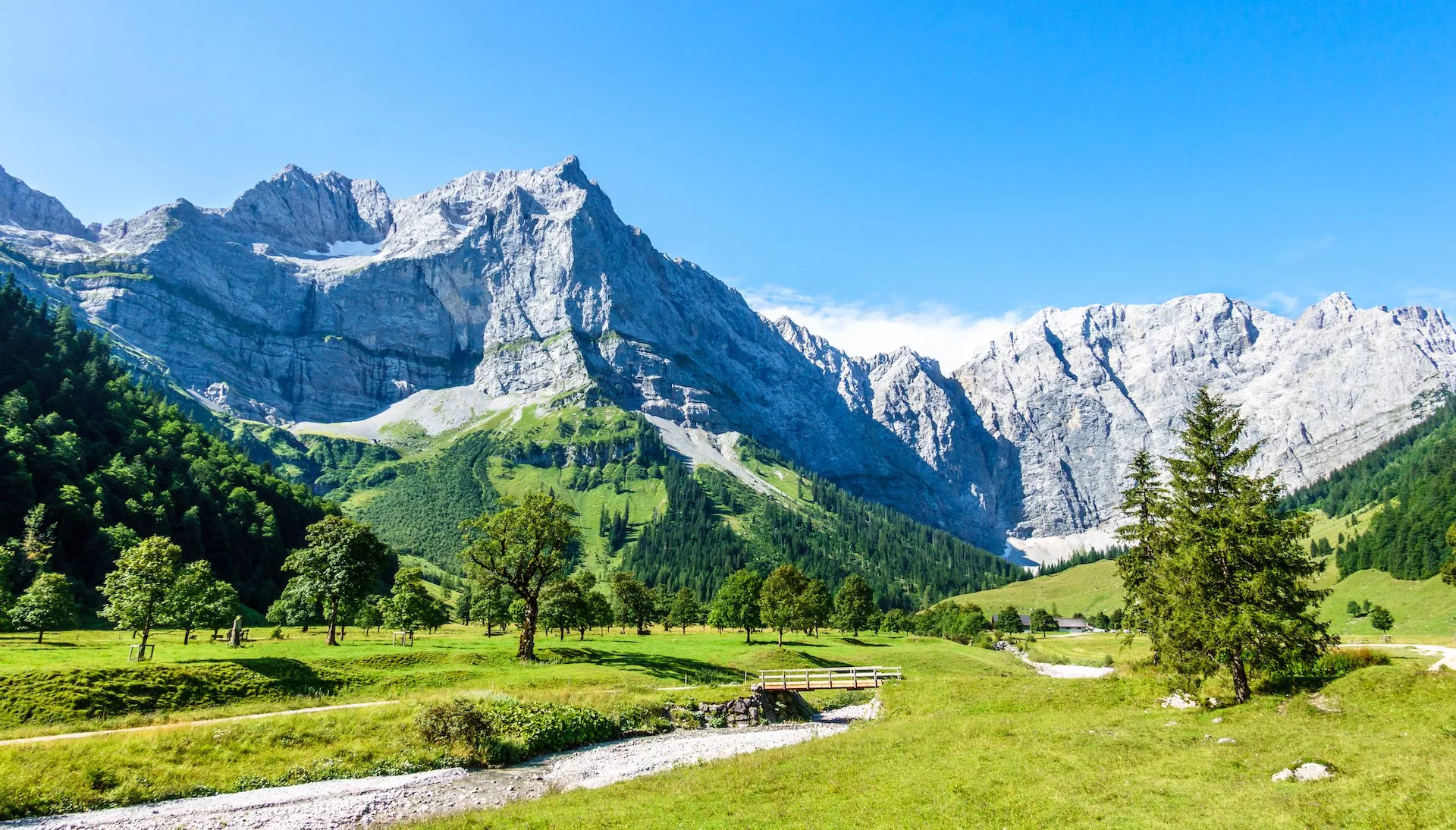
Traverse the iconic Adlerweg, experiencing the silhouette of an eagle’s flight through Tyrol’s alpine splendor
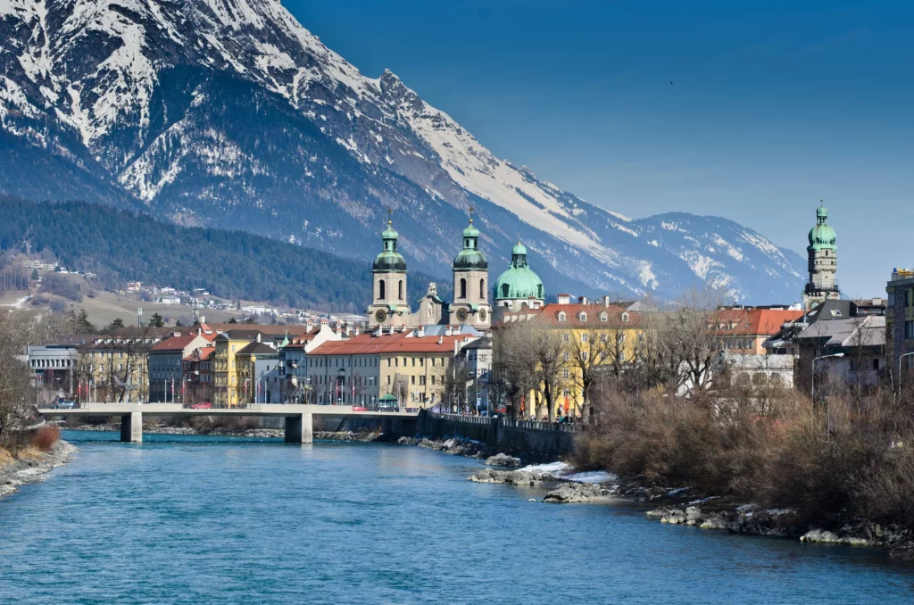
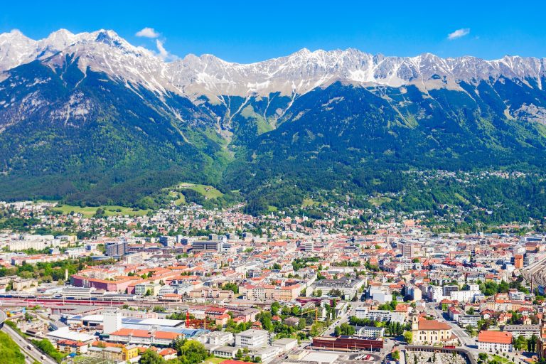
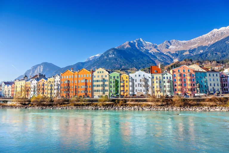
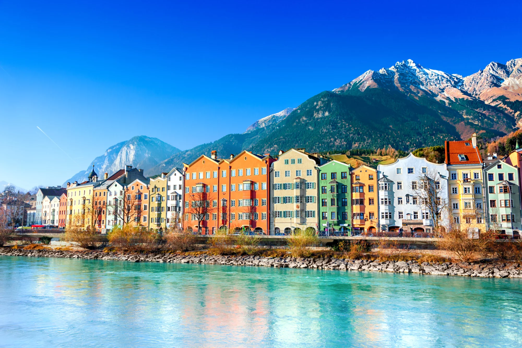
Begin in the Alpine capital, Innsbruck, and journey through diverse landscapes to the quaint village of Scharnitz
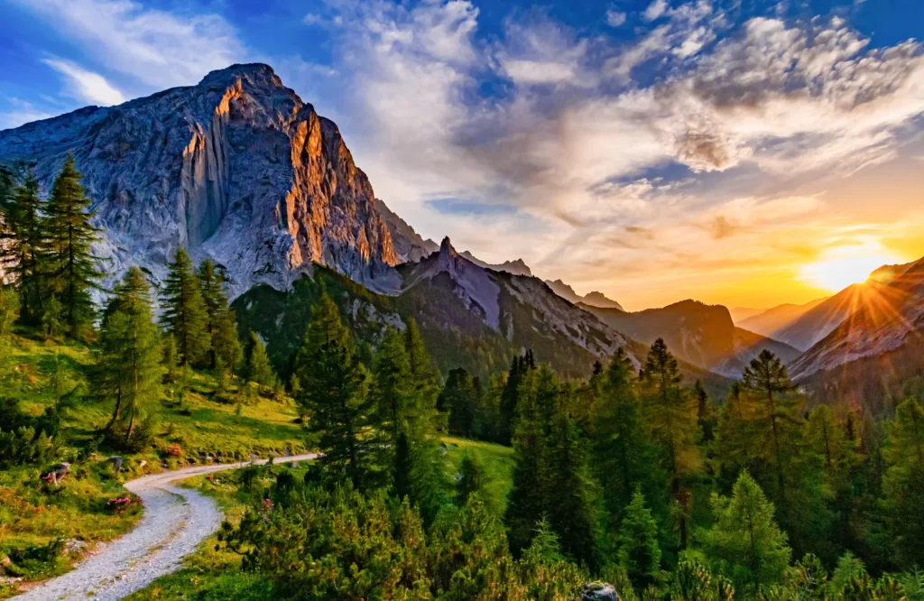
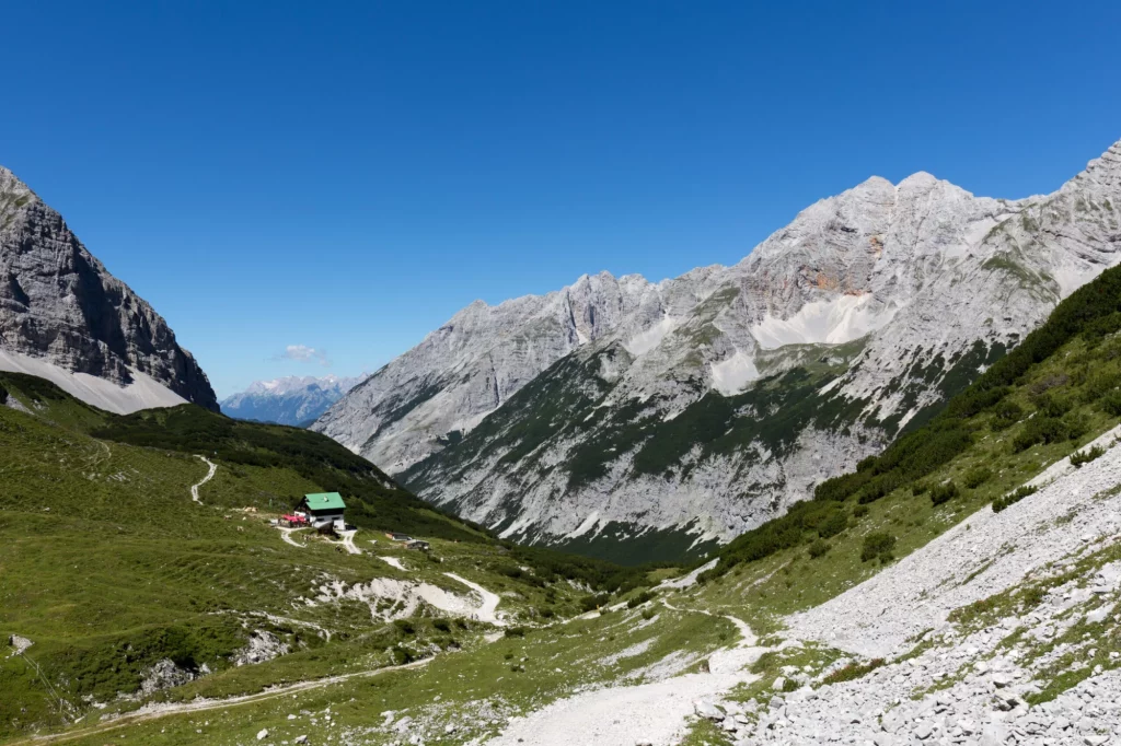
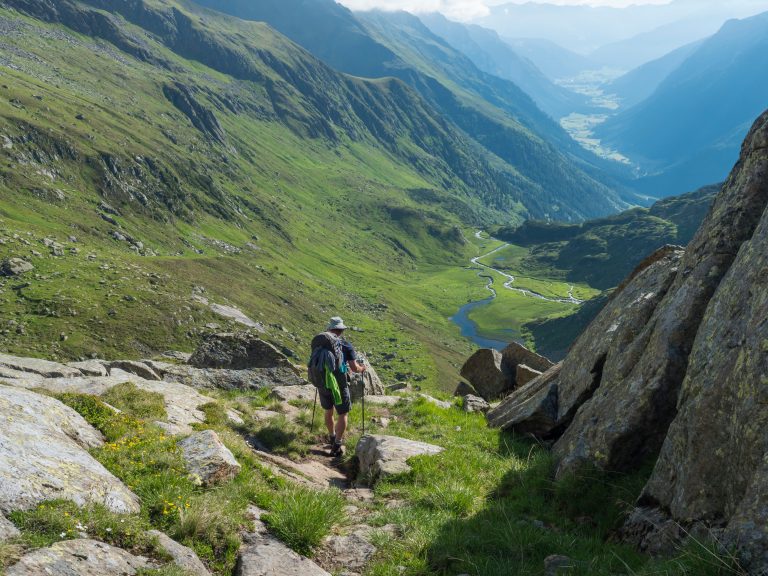
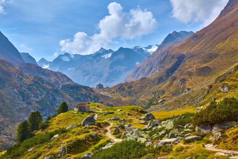
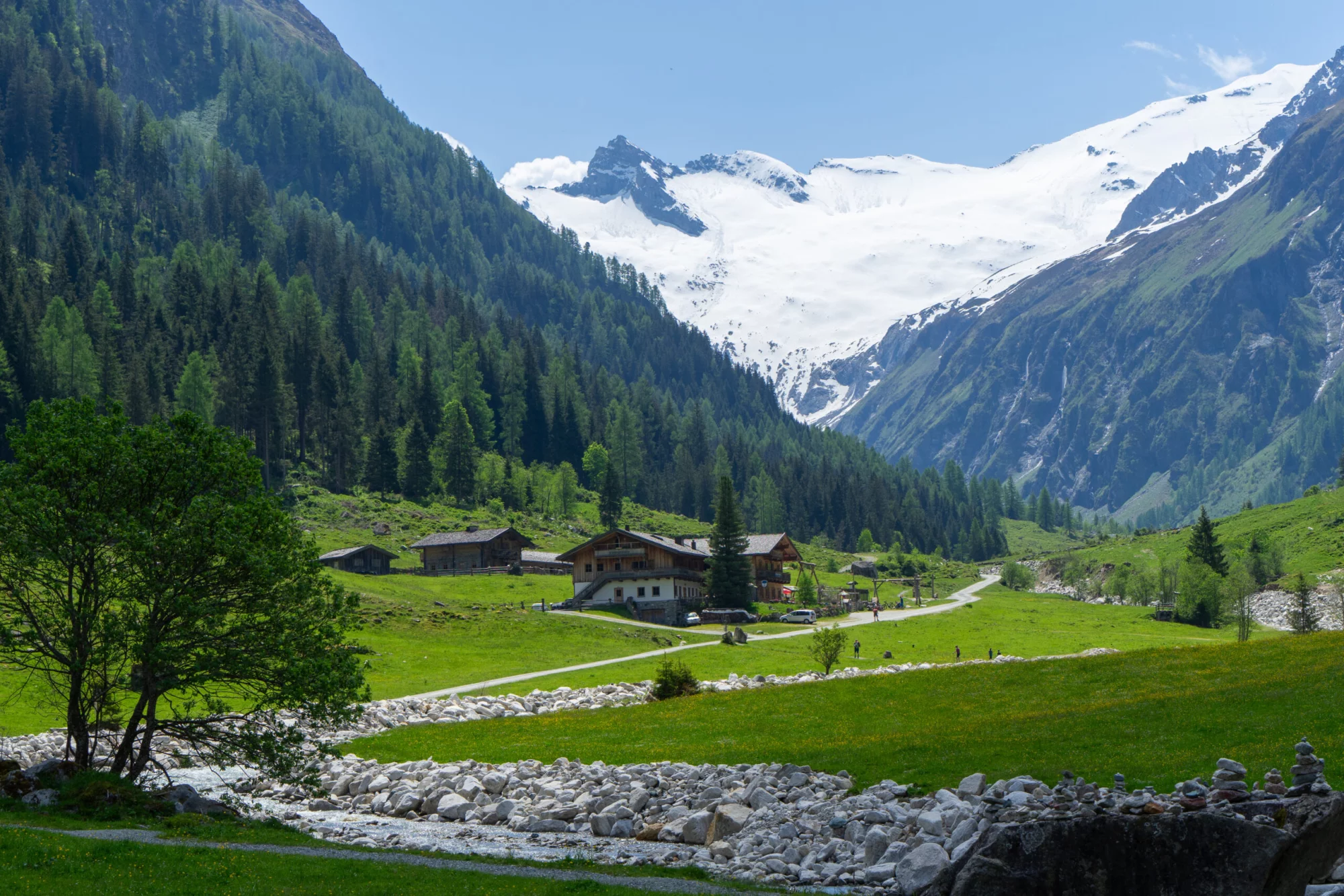
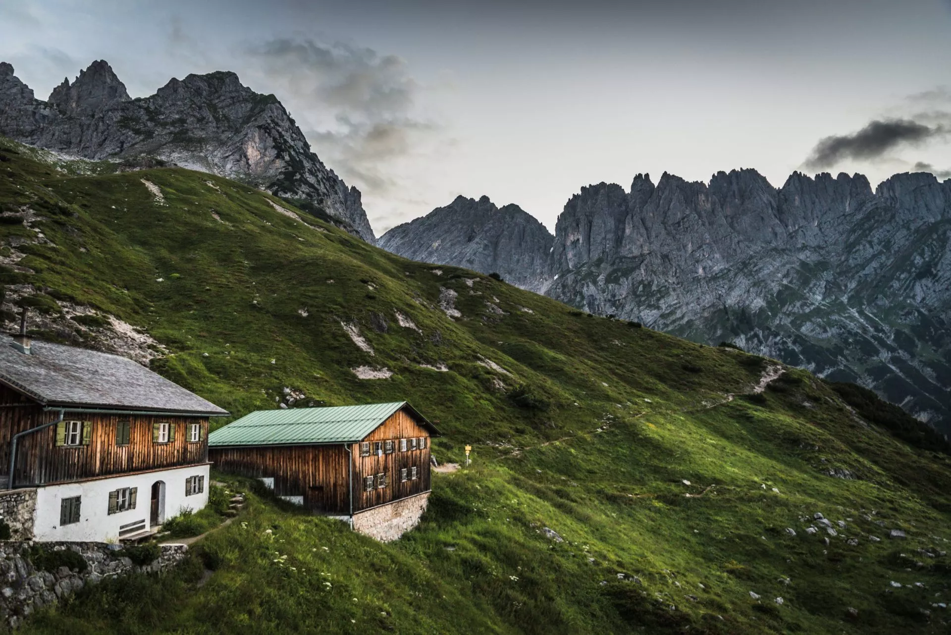
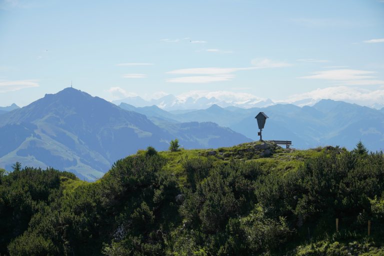
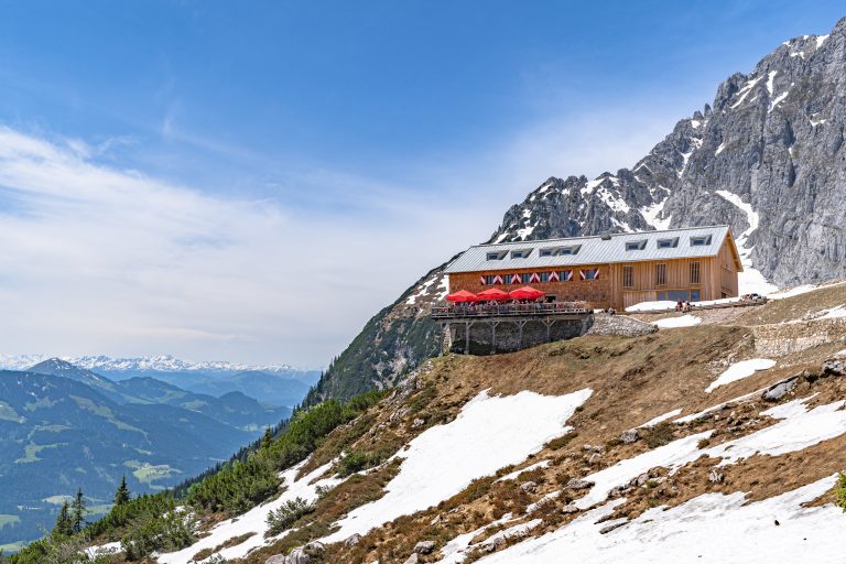
Ascend to Pfeishütte and Hallerangerhaus, marveling at panoramic vistas and the serene beauty of Tyrol’s mountains
Navigate the historic trails once tread by pioneers, blending natural wonder with alpine heritage
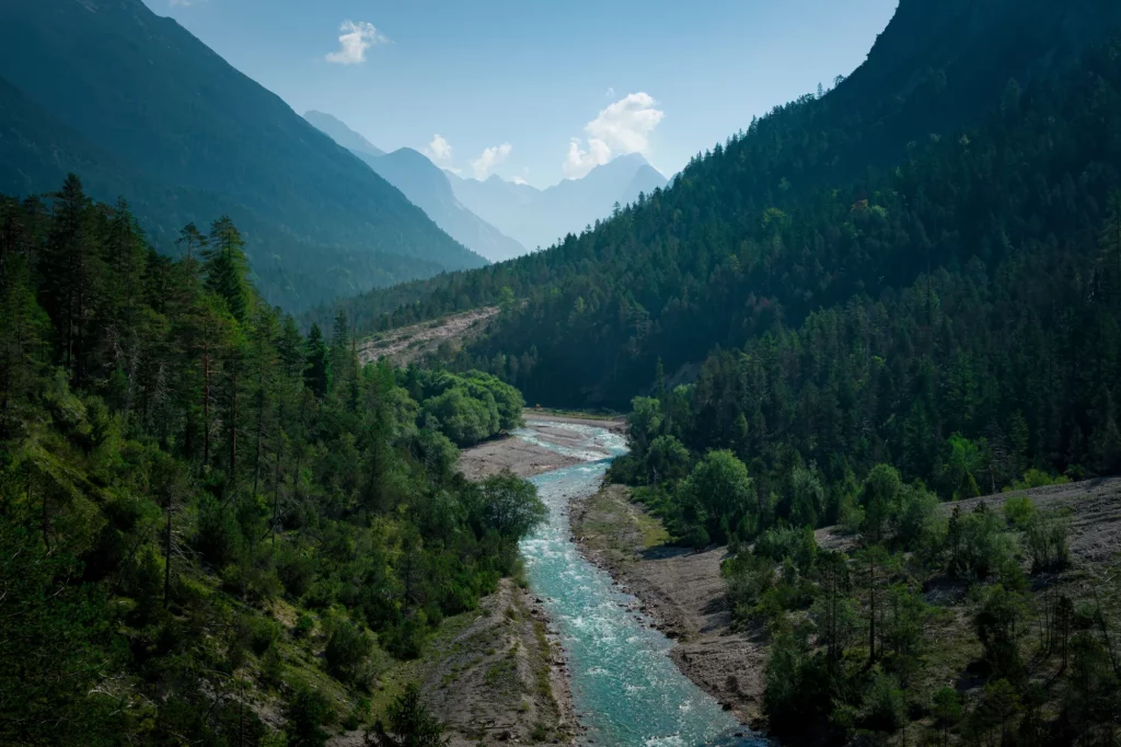
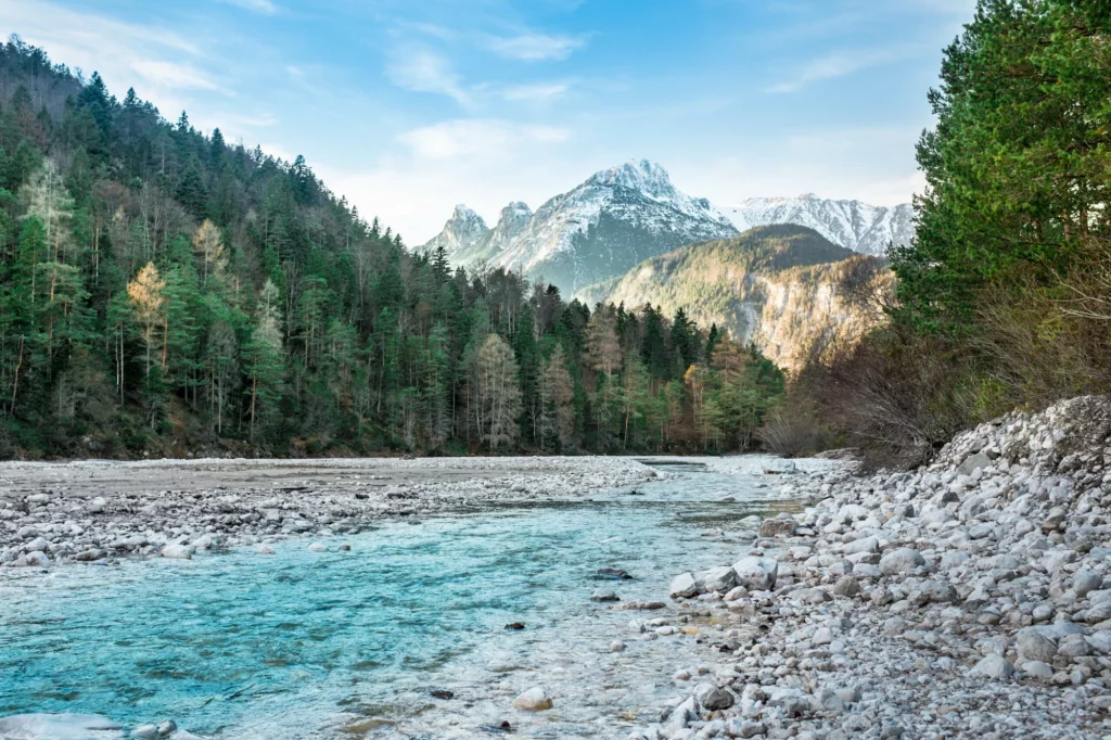
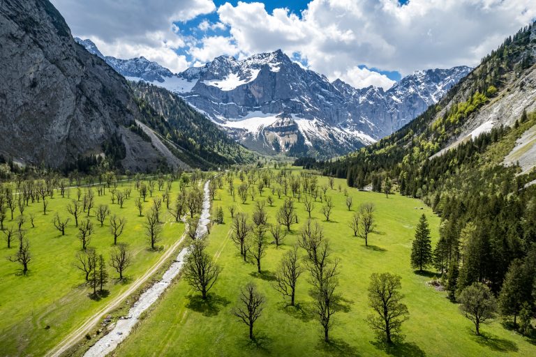
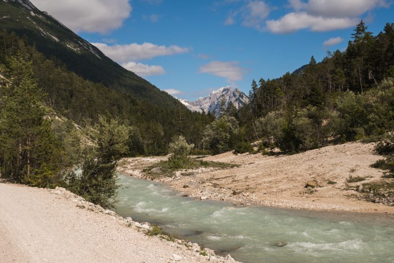
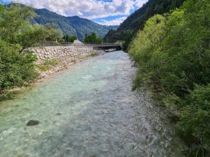
Conclude with a gentle descent along the Isar River, a path framed by the tranquil beauty of the Hinterautal valley
Itinerary
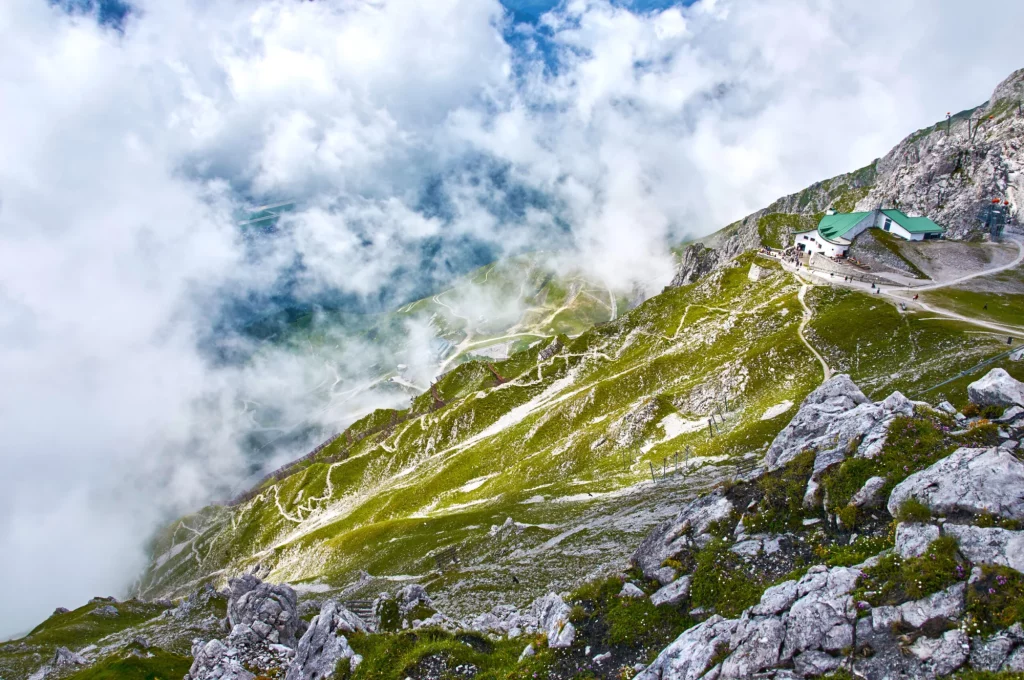
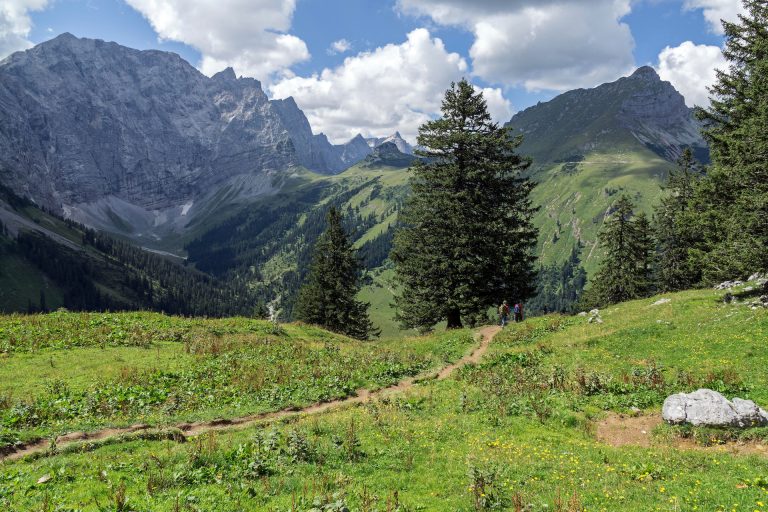
You have two options for your first stage, beginning in Tyrol’s capital, Innsbruck. You can either take the hiking path below the Seegrubenbahn or the cable car, which will save you 1000 meters of ascent. Given that still leaves you with 700 meters of climbing, this should be a welcome alternative. From the top station, you’ll follow a traversing path toward Mandlspitze. Slightly before reaching the top of the mountain, you’ll veer left and descend to Pfeishütte, where you’ll spend the night.
15 km and 1800 m of elevation gain / 430 m of elevation loss (6 km and 450 m of elevation gain / 430 m of elevation loss if you take the gondola)
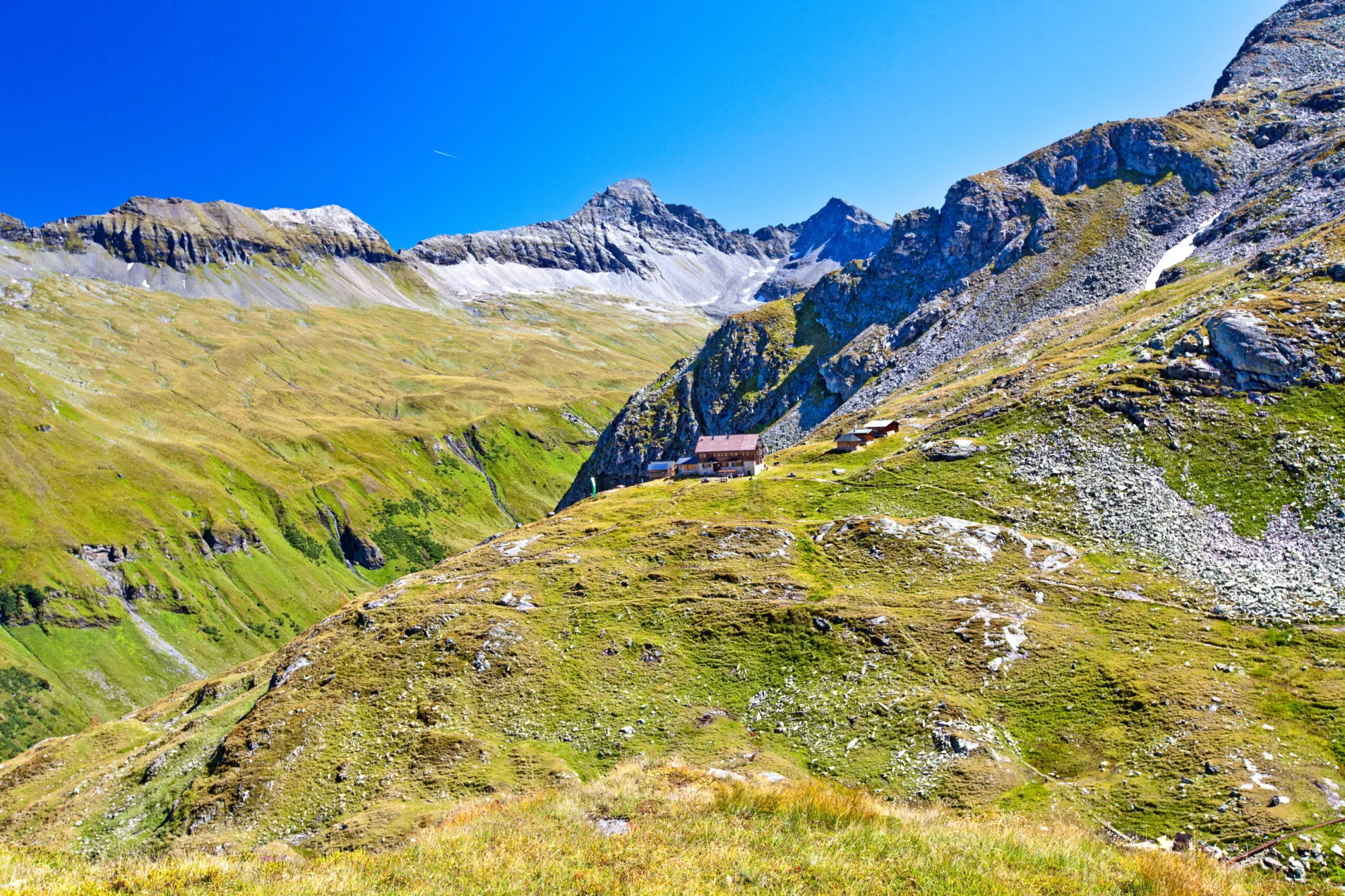
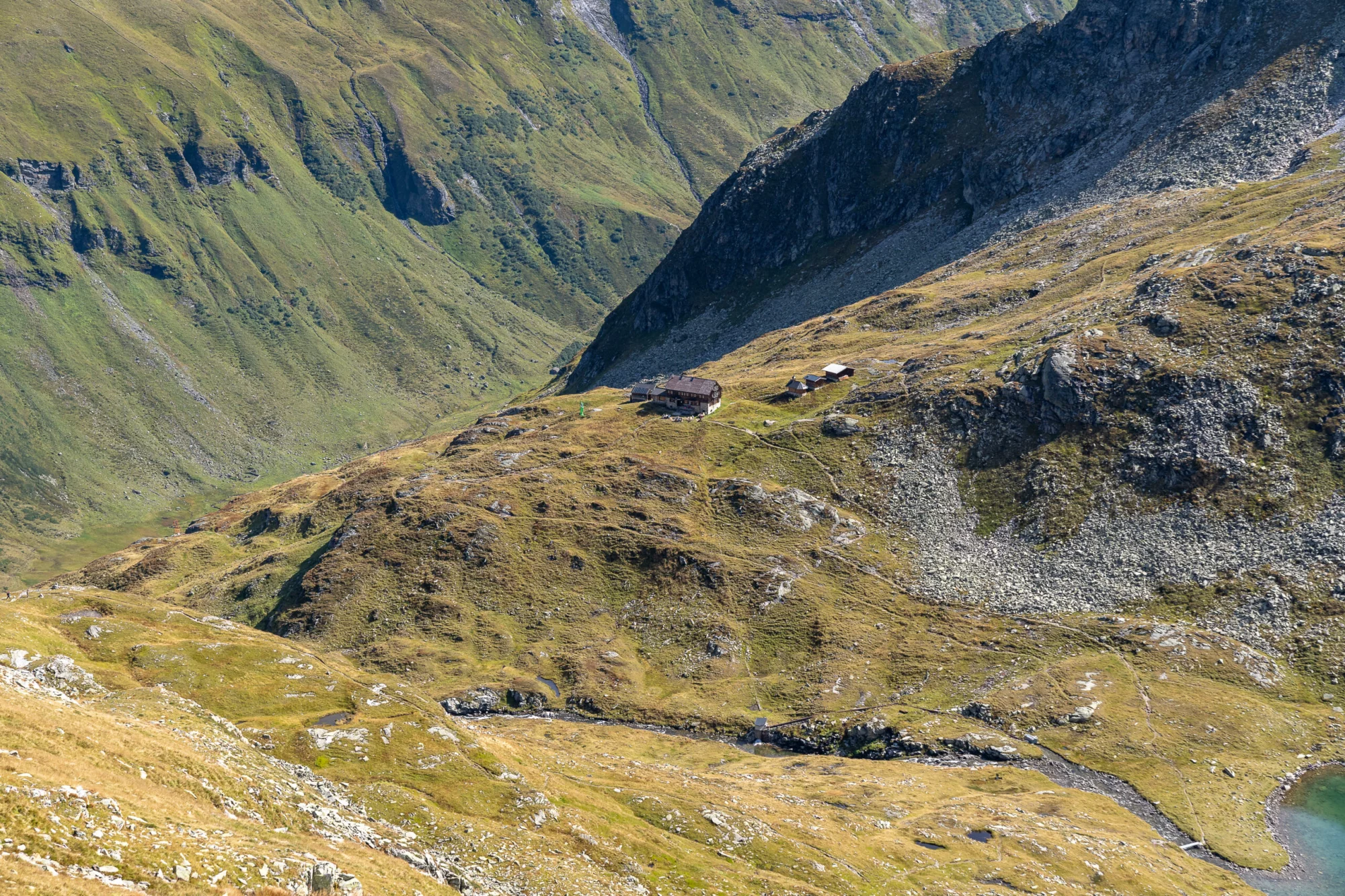
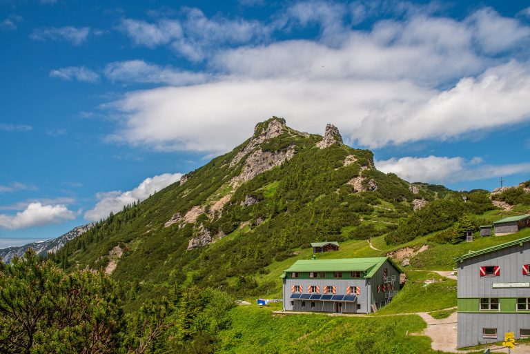
Pfeishütte
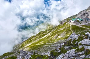
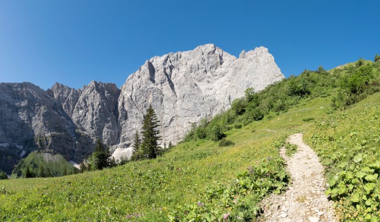
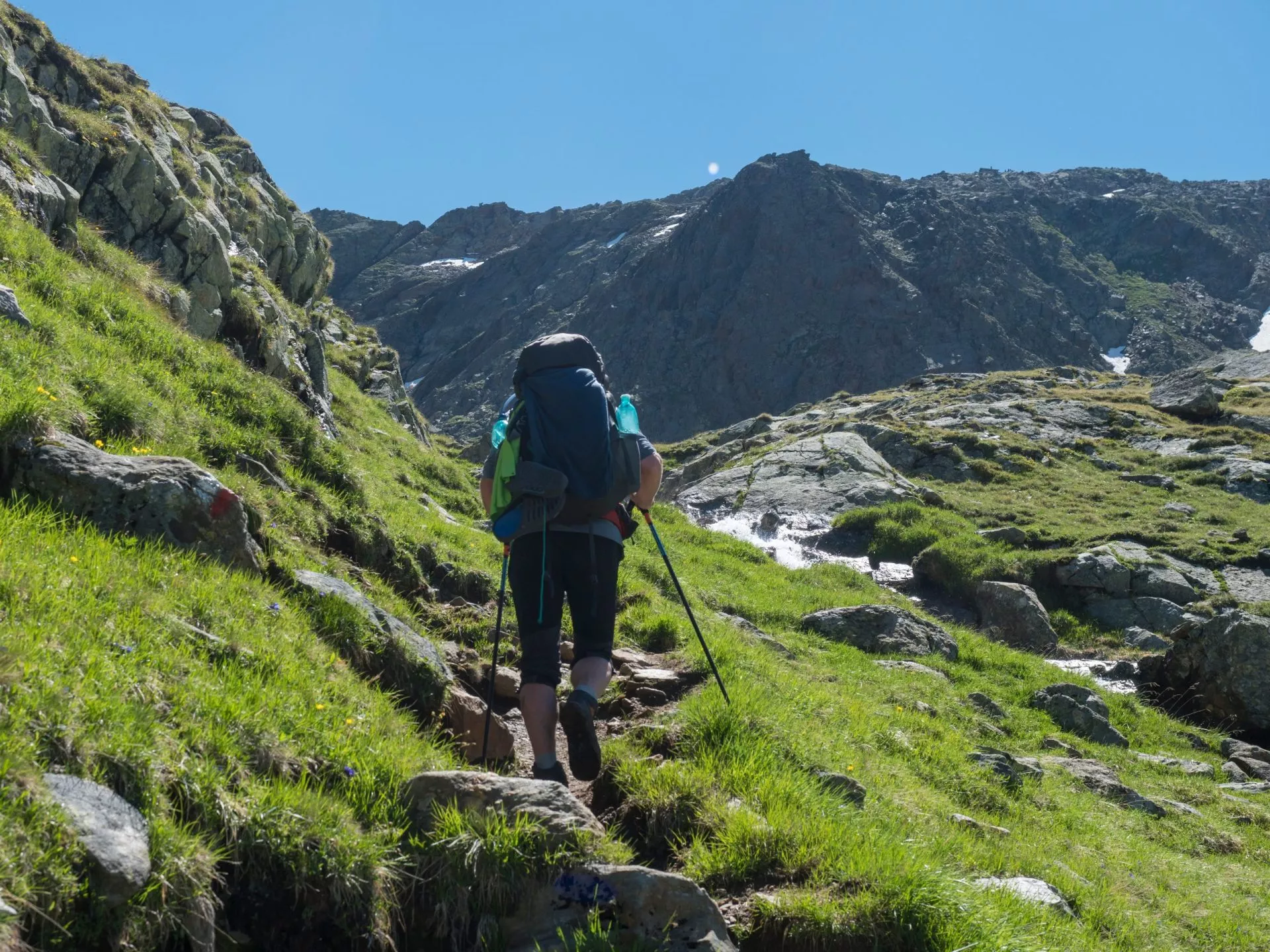
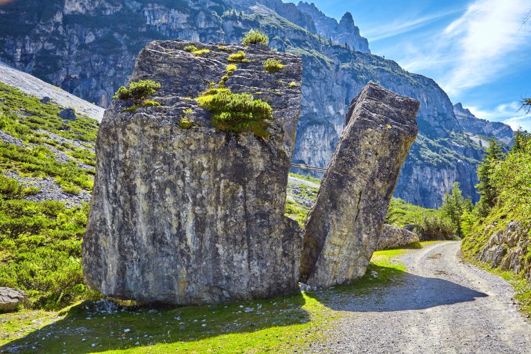
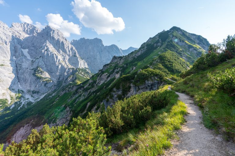
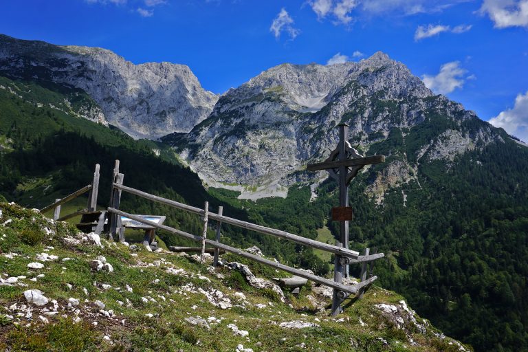
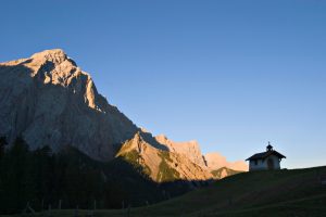
The second day is much shorter and less demanding than the first one. It begins with a climb to Stempeljoch, a mountain saddle between Kleine Stempeljochspitze and Pfeiserspitze, from where the route starts descending and traversing the slopes above Isstal on a narrow rocky path, where caution is advised. After you climb to the top of Lafatscherjoch, the trail only runs downwards until you reach Hallerangerhaus.
7.5 km and 460 m of elevation gain / 620 m of elevation loss
Hallerangerhaus
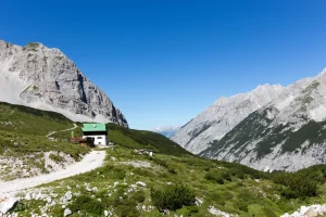
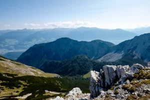
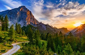
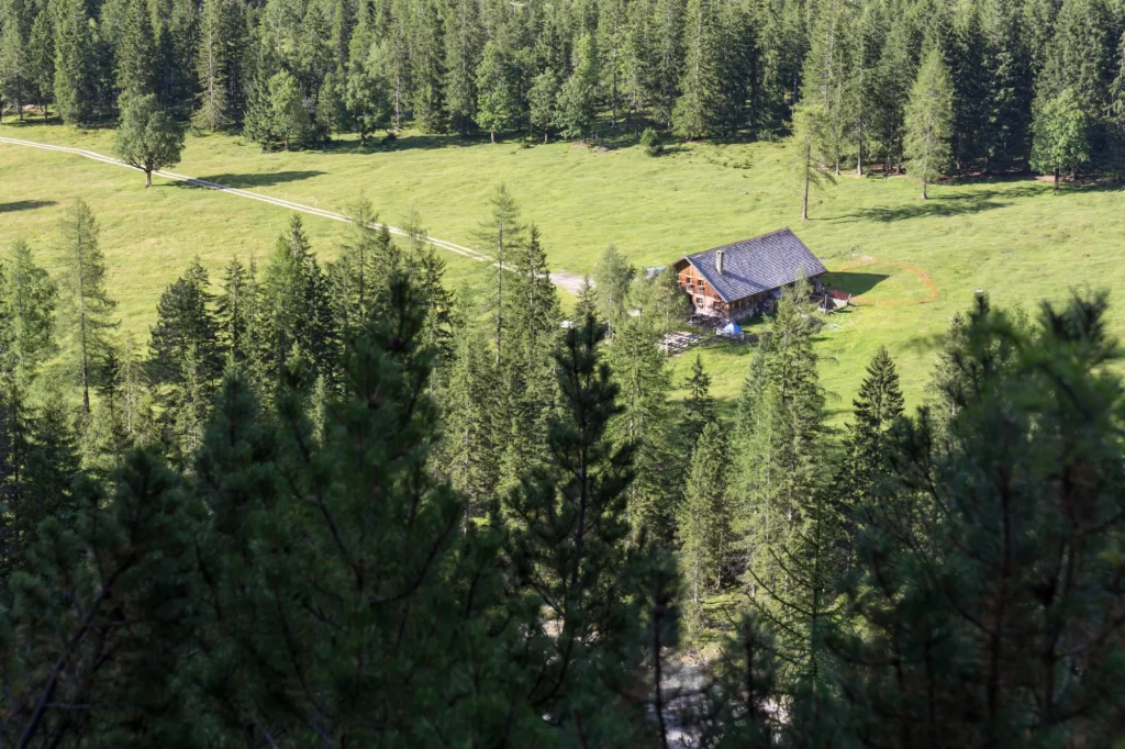
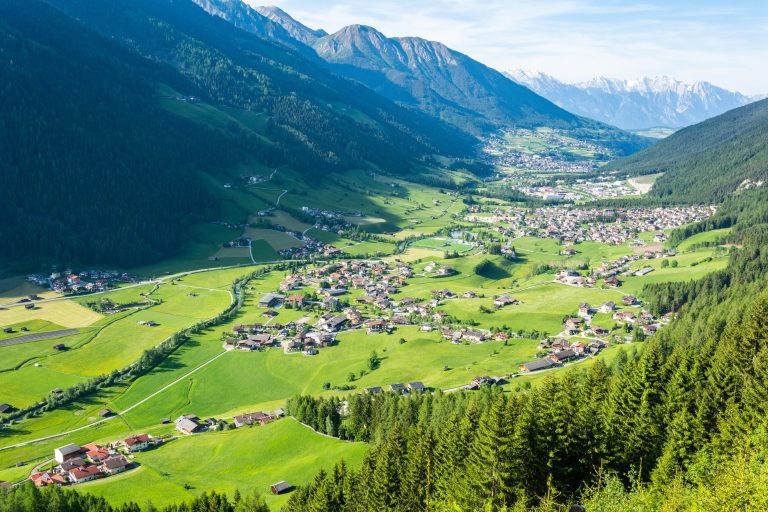
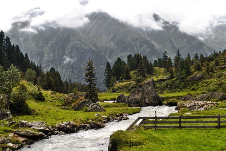
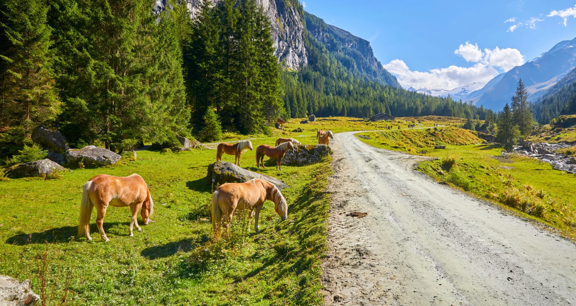
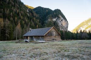
The longest day on the tour awaits, but the path only runs downwards, so the physical demands are minimal. The descent is the steepest in the initial kilometers until you reach Kastenalm hut in the valley of the Isar River. Soon after, you’ll pass Isar’s spring and follow the river along the valley floor, lightly descending and emerging from the narrow Hinterautal valley in the vicinity of Scharnitz, where your tour concludes and you can catch a bus back to Innsbruck.
19.5 km and 60 m of elevation gain / 860 m of elevation loss
Pricing
Included in price
2x accommodation with breakfast
Tour design and organization
Booklet with detailed itinerary and route instructions
Service and support during your hike
GPS navigation with an easy-to-use app
What to bring to the tour
Description
Incorporating the essence of Tyrol’s Adlerweg into a short but memorable trek from Innsbruck to Scharnitz, this journey offers a profound connection to the Alpine landscapes and cultural heritage of Austria.
The Adlerweg, or Eagle Walk, represents a journey of exploration and discovery across Tyrol, symbolized by the eagle’s flight path that the trail emulates.
The route from the vibrant city life of Innsbruck to the serene alpine settings of Pfeishütte and Hallerangerhaus and beyond is a journey through contrasting worlds, where modern amenities meet timeless landscapes.
Throughout your journey, every detail is thoughtfully curated to enhance your experience. From carefully selected accommodations to the seamless blend of challenge and serenity in the trek’s design, this tour embodies the spirit of Alpine exploration.
Each adventurer receives a detailed personalized travel booklet, your guide for insights into the Adlerweg’s significance, and tips for making the most of your journey.
Furthermore, to ensure a seamless and enjoyable adventure, we equip you with GPS navigation through an easy-to-use app. This allows you to focus on the beauty surrounding you, being secure that you’re on the right path.
Join us on this exceptional route from Innsbruck to Scharnitz, where the spirit of the Alps is yours to discover.
Map
Things to know
The hiking season usually lasts from mid-June to late September. It depends on the snow conditions in the higher sections of the Alps, as lots of hiking routes go over high mountain passes. You should check the current situation if you are visiting in early summer, especially for Stubai High Trail, as large parts of the route run above 2000 meters of elevation.
The huts close their doors once the season ends as well, so you cannot plan any multi-day tours outside this time window.
Read more about the hiking season in Austria here.
We’ve rated our tours on a difficulty scale from 1 to 5 — with 1 being the easiest and 5 the most difficult.
The difficulty level of a tour tells you how fit you need to be and how much hiking is involved. Most of our tours are appropriate for people who are regularly active and can hike for about five to seven hours per day.
Technical difficulty means how skilled you need to be to hike on the path. Level 1 means the trail is smooth and wide (like a gravel road), while 5 means the surface is uneven and exposed, and you have to use your hands to help yourself move forward. In practice, that means that the higher the level, the more surefooted and skilled in scrambling you need to be.
You should book your tour as soon as possible, as many accommodations along the trail fill up quickly. That way, you can ensure that you have a place to stay.
In case of an injury, it is best to call the local emergency services. You might find yourself in the wilderness, unable to continue without worsening your situation.
Do not worry too much, though. You will be hiking along popular trails, so you will not get stranded even if something happens.
On the other hand, if you feel too tired to continue hiking, you can always stop in any of the towns and villages along the way and use public transport to get to where you want to be in Austria.
Most huts along our hut-to-hut hikes are equipped with showers, but they might be a matter of whether there has been any rainfall lately. Do not expect too much, as mountain huts are not luxurious hotels.
Read more about the mountain huts here.
No. The huts provide blankets and pillows for comfort. However, you should bring your sleeping liner so they will not have to wash their bed linen every day.
Cell reception is unreliable in the mountains. If you can see a town, you will likely have a reception. The same goes for mountain huts. If you cannot get it inside, try stepping outside. Wifi is available only at select lodges; most do not have it.
If you dress appropriately, most stages can be done even in light rain. However, if a storm is forecasted, do not hike. In that case, you should wait until the storm passes, even if that means spending a day at the hut.
If you’d like to eat a vegetarian meal, it’s usually available at most accommodations. Vegan options are harder to find in huts, but we’ll let you know about them in advance so you can plan accordingly.
We do not demand that you have insurance before booking, but it is advisable to do. Joining the Austrian Alpine Club gets you covered in case anything unexpected happens to you on your way.

Self-guided
Hassle-Free
Book with confidence
Tried & Tested Adventures
Unbeatable support
Similar Austria Hiking Tours


